
Slick Rock Hill
|
Slick Rock Hill |
Slick Rock Hill - San Miguel County - Colorado - 7,101 feet
No discernable watershed divide or gap.
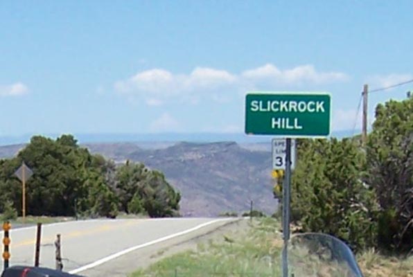
The CDOT sign is at the south end of a very scenic and curvy stretch of CO-141 near Slick Rock which descends
to the Dolores River and climbs back to higher ground.
paved - road bike
photos by Randy Bishop, 9/7/2018
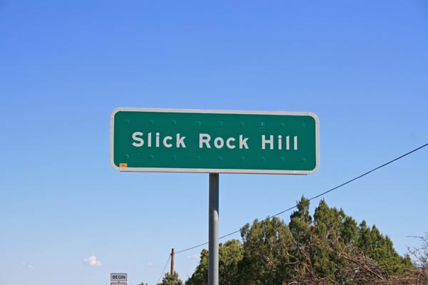
The sign. |
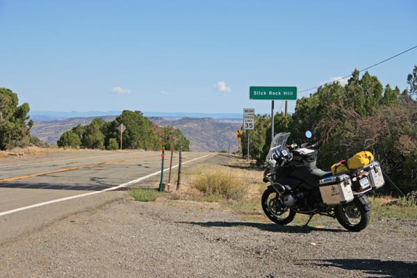
At the sign, looking north and down toward the Dolores River. |
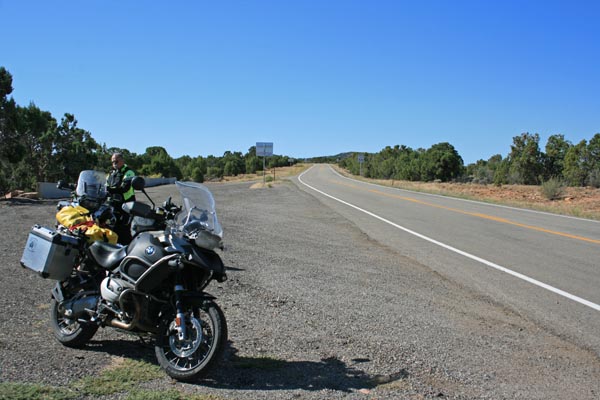
At the sign, looking south and up toward Egnar. |
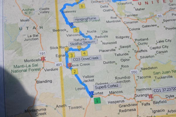
A map. |
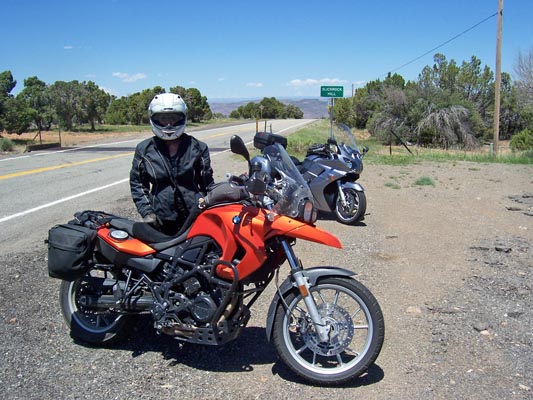
At the sign. |
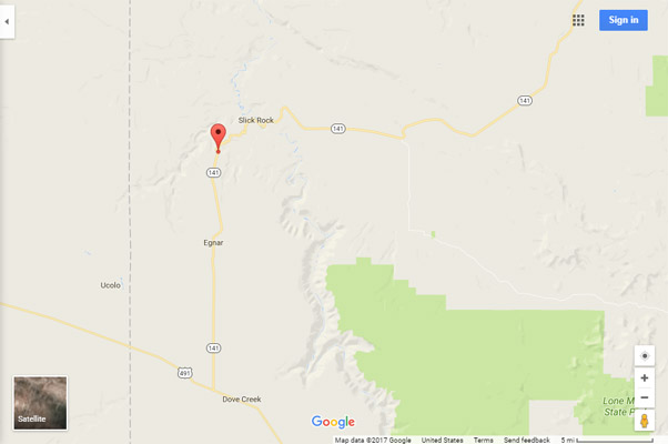
Google Maps |
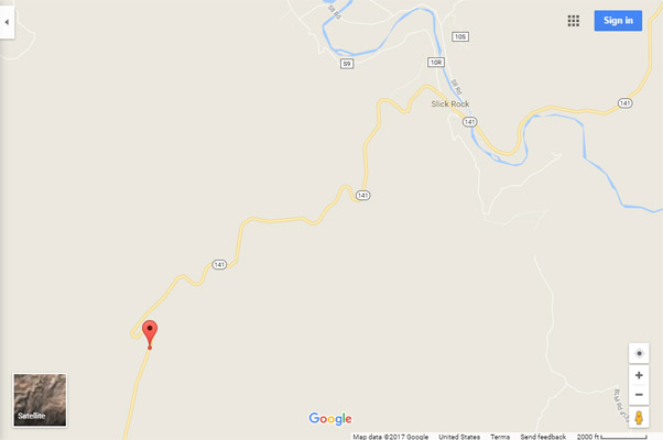
Google Maps |
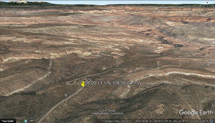
Google Earth |
Google Earth |
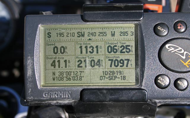
Garmin Mapsource |

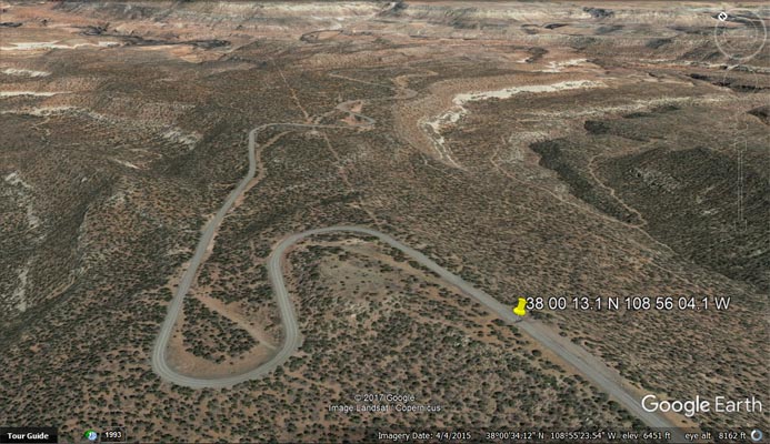
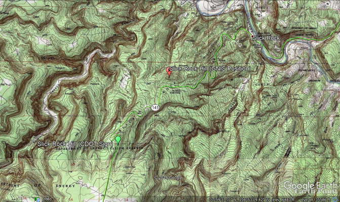
Google Earth, showing GNIS and CDOT locations. |
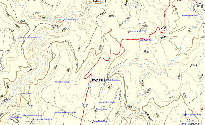
Topographic map, showing GNIS and CDOT locations. |
photos by Cathy Catrell, 6/17/2015
At the sign, looking north. |
At the sign, looking north. |
Notes from Scott Westfall: The GNIS lists Slick Rock Hill at 38°01'17"N 108°55'03"W at 6545'. The GNIS Slick Rock Hill is not shown to be publicly accessible
by motorcycle, however it is on BLM land and there's a primitive jeep trail running alongside the southern edge of the rise. The CDOT sign is about 1.5 miles
to the south-southwest on CO-141 at 38°00'13"N 108°56'04"W at 7101'.
| Feature Name | ID | Class | County | State | Latitude | Longitude | Ele(ft) | Map | BGN Date | Entry Date |
| Slick Rock Hill | 201818 | Summit | San Miguel | CO | 380117N | 1085503W | 6545 | Horse Range Mesa | - | 01-JAN-1995 |