
Slumgullion Pass
|
Slumgullion Pass |
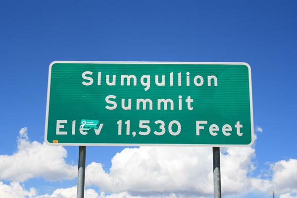
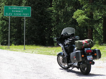
Slumgullion Pass - Hinsdale County - Colorado - 11,530 feet
Lake Fork Gunnison River to west. Mill Creek to east.
CO-149 between Lake City and Creede
pavement - road bike
photos by Rick Harvey, 09/05/2018
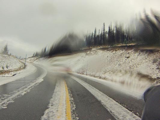
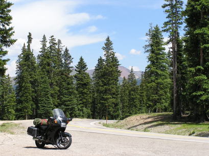
Heading south toward the summit. |
Heading south toward the summit. |
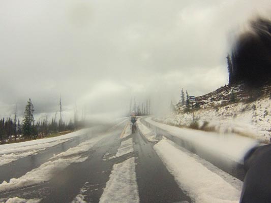
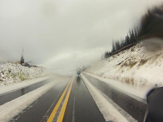
Heading south toward the summit. |
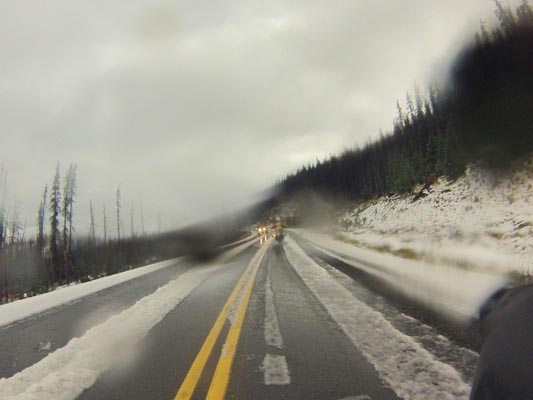
Heading south toward the summit. |
photos by Randy Bishop, 07/20/2017
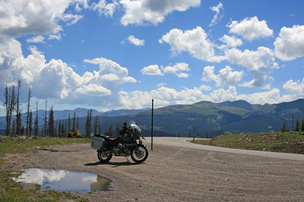
At the summit. (After beetle kill.) |

At the summit, looking west. |

At the summit, looking west. |
At the summit, looking east. |

At the summit. |
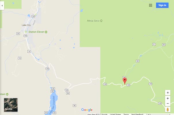
Google Maps |

Google Maps |
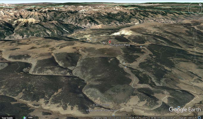
Google Earth, looking northwest. |

Google Earth, looking northwest. |

Garmin Mapsource |
#47 - photos by Randy Bishop, 07/15/2006

At the summit. (Before beetle kill.) |
At the summit, looking west. |
At the summit, looking east. |
| Feature Name | ID | Class | County | State | Latitude | Longitude | Ele(ft) | Map | BGN Date | Entry Date |
| Slumgullion Pass | 187058 | Gap | Hinsdale | CO | 375908N | 1071320W | 11358 | Slumgullion Pass | - | 13-OCT-1978 |