
Sony Pass
|
Sony Pass |
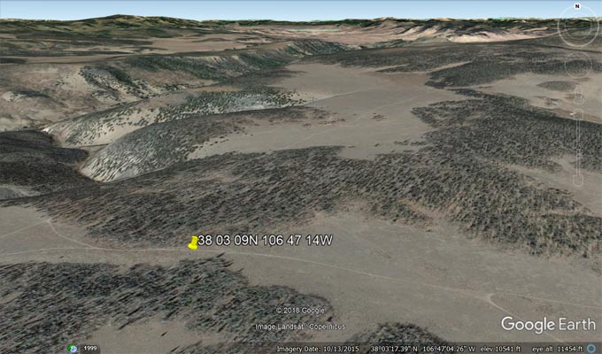
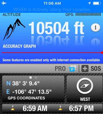
Sony Pass - Saguache County - Colorado - 10,510 feet - on Continental Divide
Cochetopa Creek to north. North Fork Saguache Creek to south.
West of Saguache on FR-776
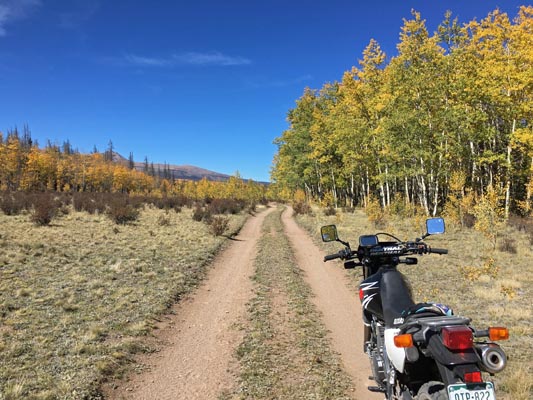
dirt - dual sport
photos by Karst Postma, 7/16/2020
At the summit. |
At the summit. |
At the summit. |
At the summit. |
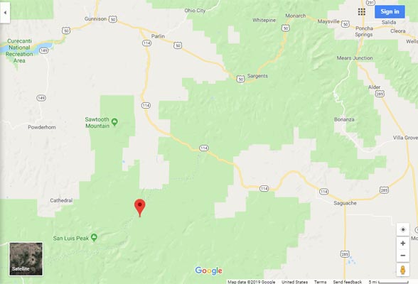
Google Maps |

Google Maps |

Google Earth |
Google Earth |
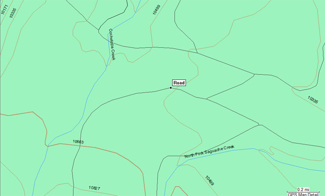
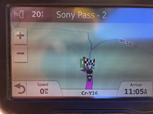
Garmin MapSource |
Notes from Karst: Sony Pass is accessible on big bikes (from the east only), with intermediate skills. It is
a place to stay away from when there is a chance of rain. The last couple of miles could turn very muddy,
it would be a chore. Lastly, I believe Curtis Kohl deserves credit for finding this pass. It had been
located somewhere nearby and due to his explorations it is now properly located.
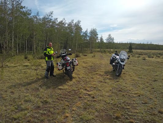
photos by John Meyer, 9/27/2018
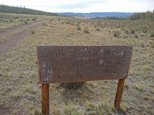
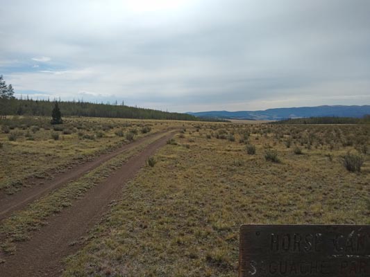
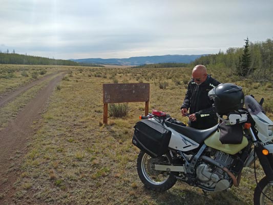
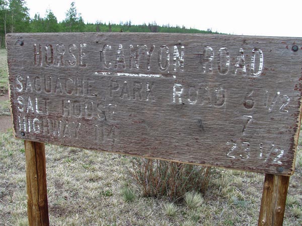
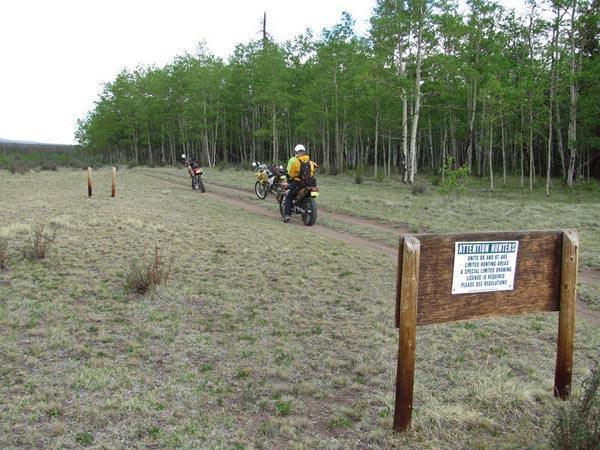
At the summit. |
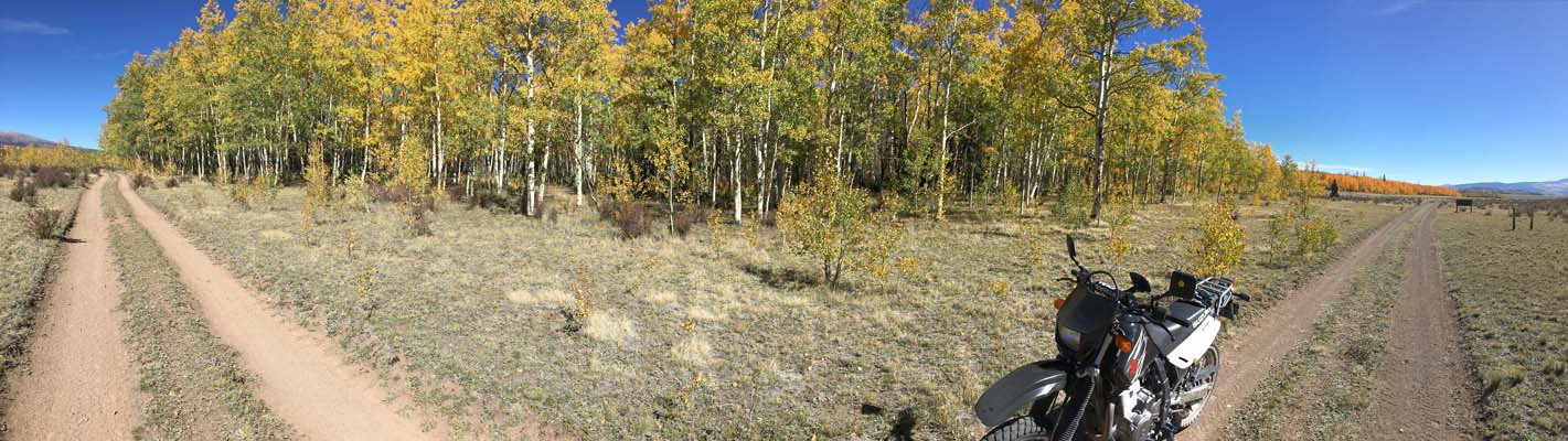
At the summit. |
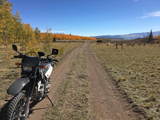
At the summit. |

At the summit. |
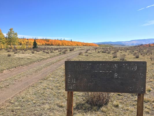
At the summit. Horse Canyon Road Saguache Park Road 6 1/2 Salt House 7 Highway 114 23 1/2 |
At the summit. |
At the summit. |
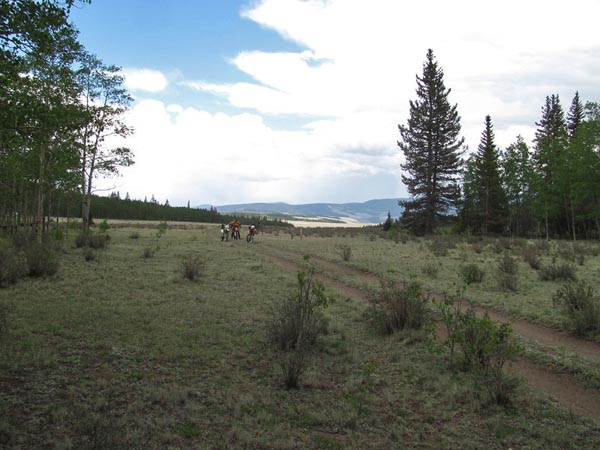
photos by Curtis Kohl, 6/16/2013
At the summit. |
At the summit. |
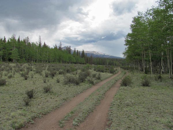
At the summit. |
At the summit. |

At the summit. |
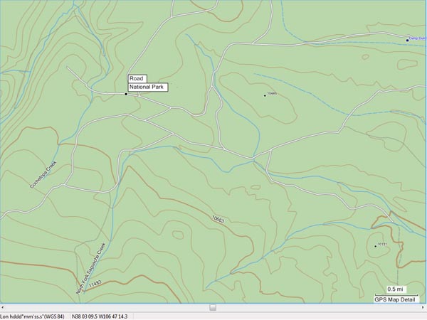
Topo map |
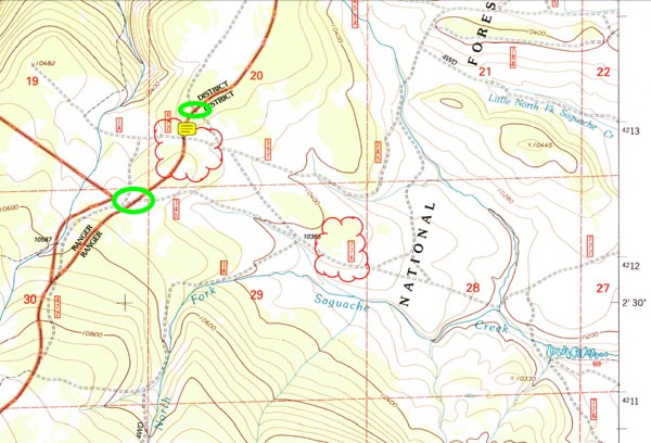
USGS Elk Park Quadrangle |