
South Pass
|
South Pass |
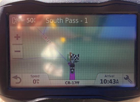
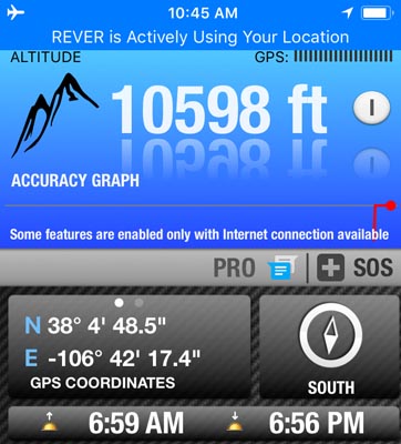
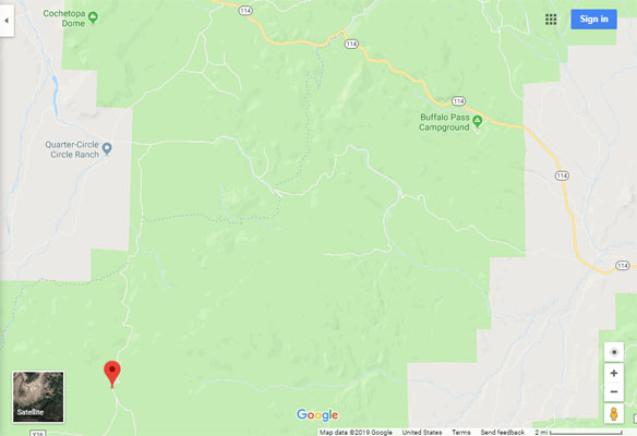
South Pass - Saguache County - Colorado - 10,656 feet - On the Continental Divide
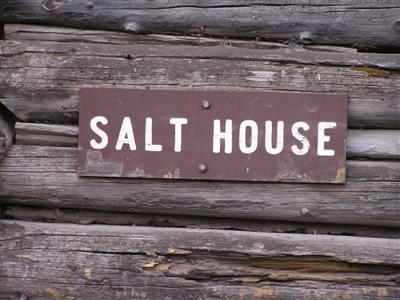
(other names - South Cochetopa, Salt House, Carnero, Stone Cellar)
Joe Gulch to north, Horse Canyon to south.
Forest Road 787 (County Road 17FF) west of Saguache
gravel, dirt (muddy when wet) - dual sport
photos by John Meyer, 9/27/2018
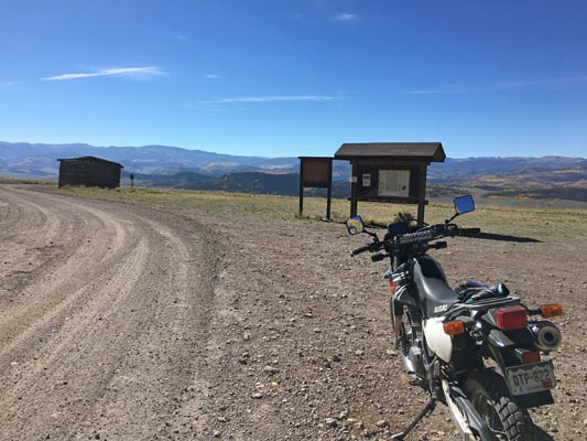
At the summit. |
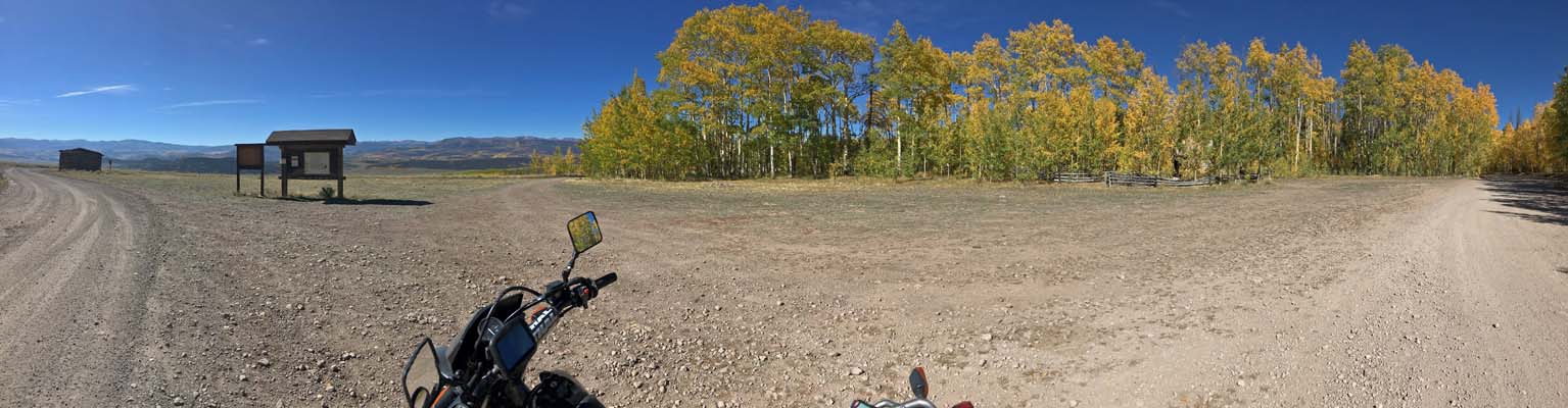
At the summit. |
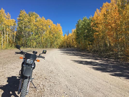
At the summit. |
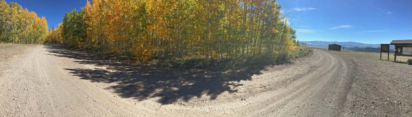
At the summit. |
At the summit. |
At the summit. |
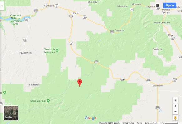
Google Maps |
Google Maps |
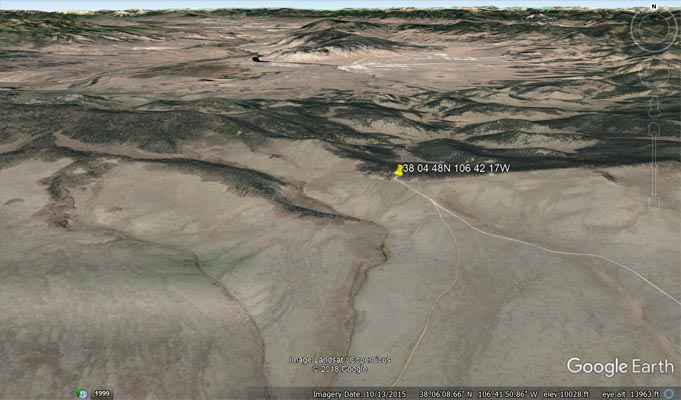
Google Earth |
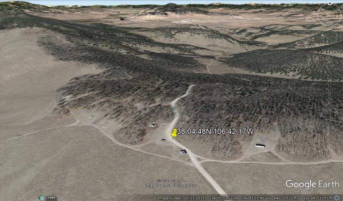
Google Earth |
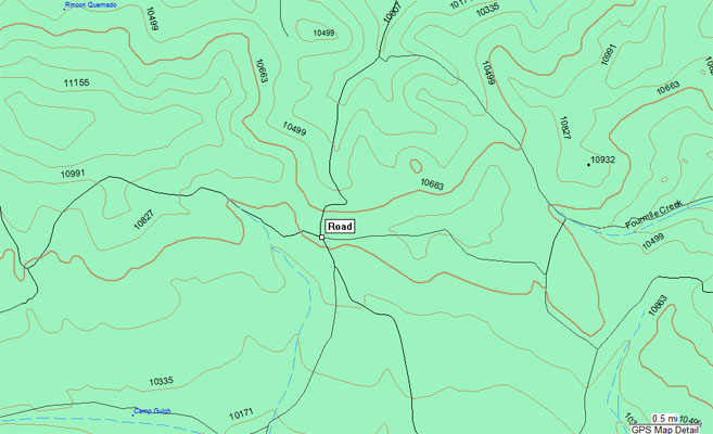
Garmin MapSource |
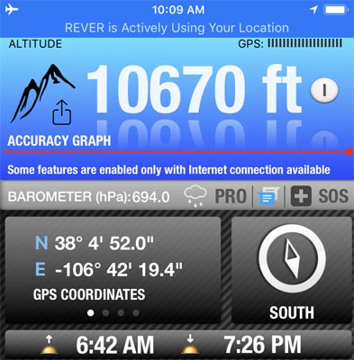
photos by Scott Westfall, 9/8/2018
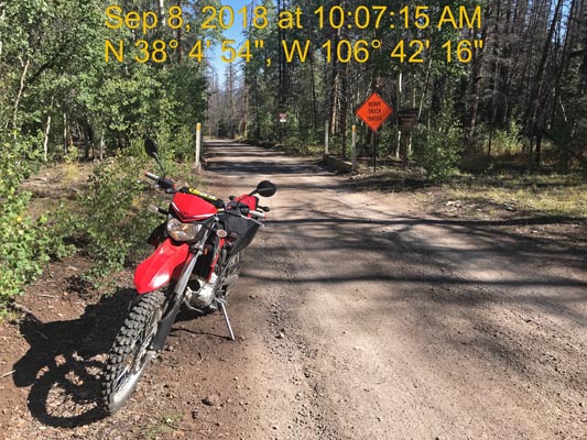
0.1 miles north of the summit. |
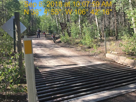
0.1 miles north of the summit. |

0.1 miles north of the summit. |
0.1 miles north of the summit. |
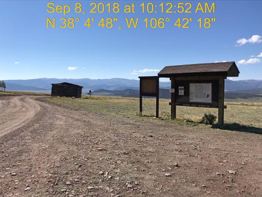
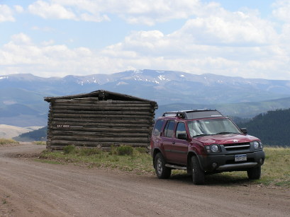
At the summit. |
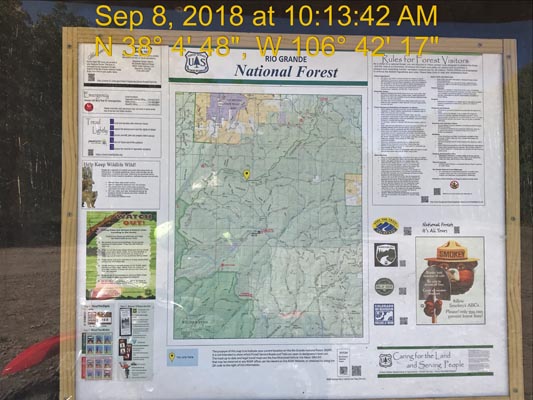
At the summit. |

At the summit. |
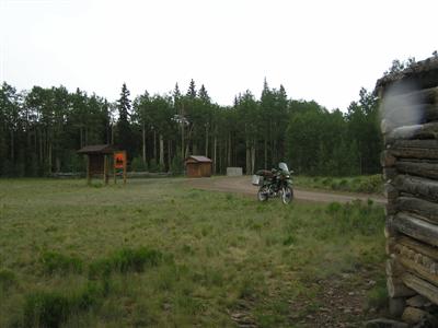
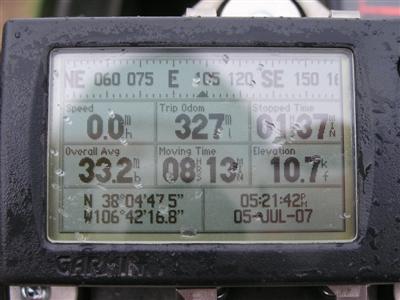
#92 - photos by Randy Bishop, 7/5/2007
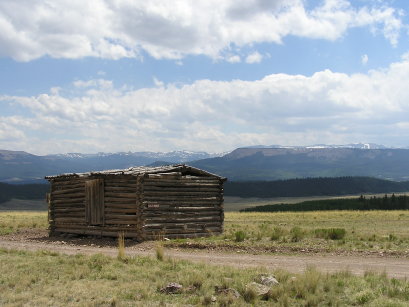
At the summit. |
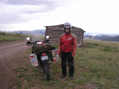
At the summit. |

At the summit, looking south. |
At the summit, looking north. |
At the summit. |
6/11/2005

At the summit. |
At the summit, looking south. |
At the summit, looking south. |