
Spring Creek Pass
|
Spring Creek Pass |
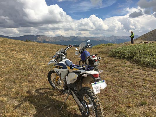
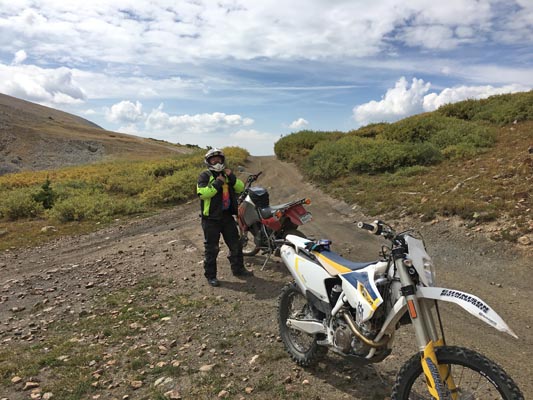
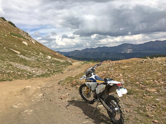
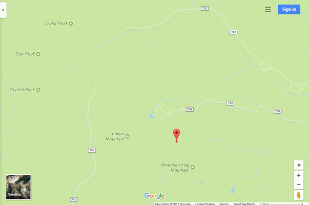
Spring Creek Pass - Gunnison County - Colorado - 12,020 feet
South Italian Creek to north. Spring Creek to south.
Northeast of Crested Butte on FR-759 (Italian Creek Road).
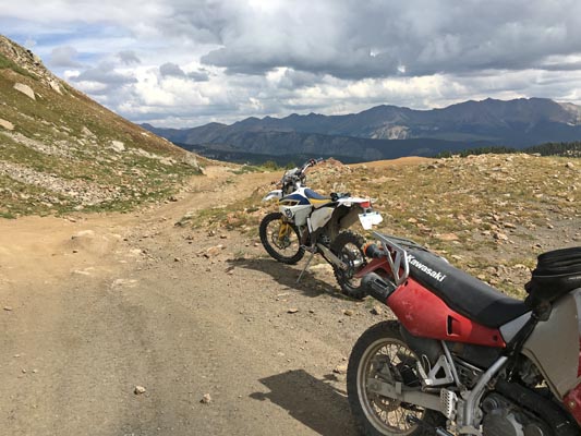
off-road - dirt bike or dual sport
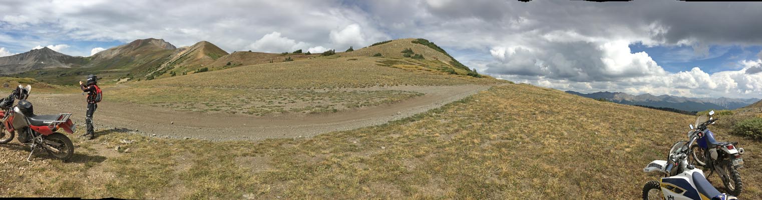
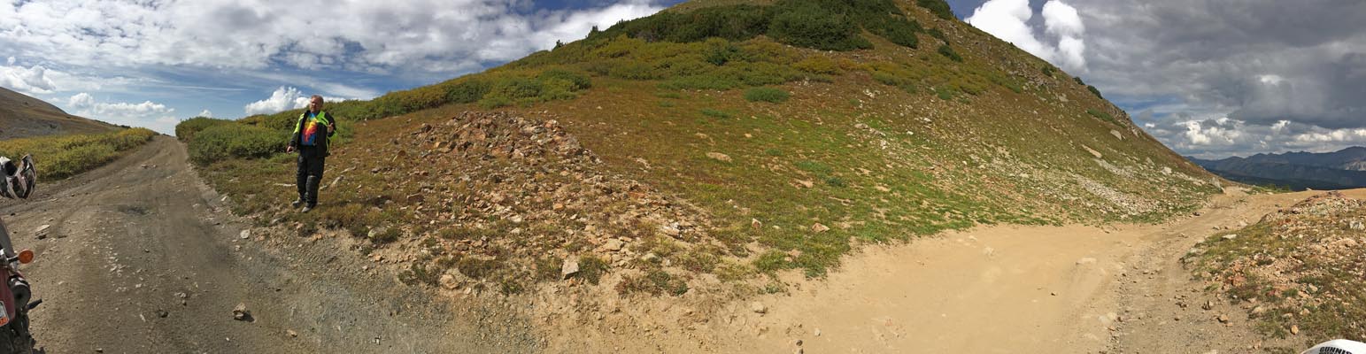
photos by John Meyer, 9/10/2017
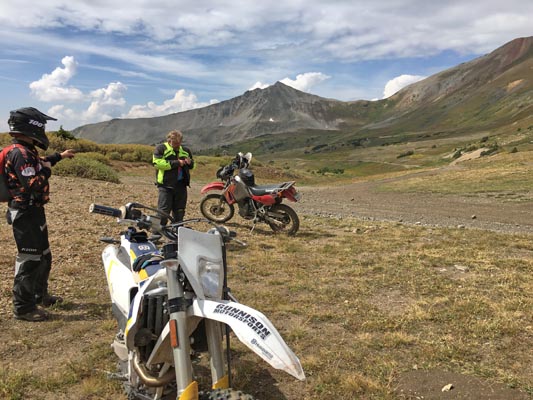
At the summit. |

At the summit. |
At the summit. |
At the summit. |
At the summit. |
At the summit. |
At the summit. |
At the summit. |

At the summit. |
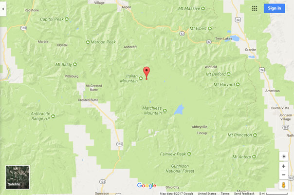
Google Maps |
Google Maps |

Google Earth |
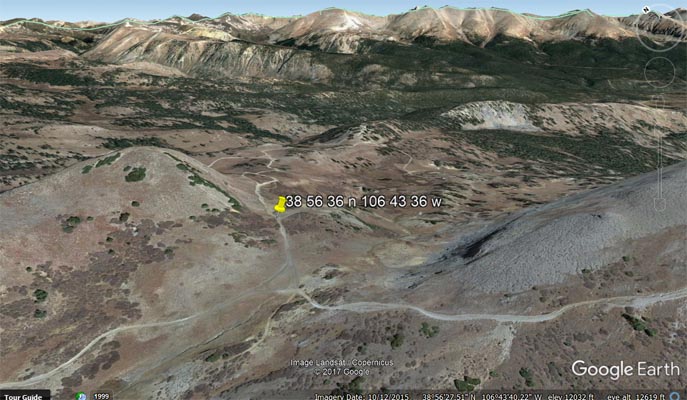
Google Earth. |
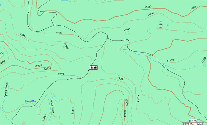
Garmin Mapsource |
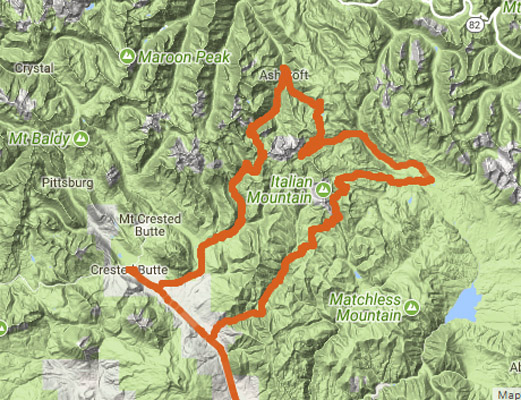
Gunnison - Reno Divide - Spring Creek Pass - Taylor Pass - Pearl Pass- Gunnison |
Notes from John: As you can see (on the https://rever.co track map) we approached Taylor Pass from the south after doing Reno Divide and Spring Creek Pass.
| Feature Name | ID | Class | County | State | Latitude | Longitude | Ele(ft) | Map | BGN Date | Entry Date |
| Spring Creek | 188820 | Stream | Gunnison | CO | 384324N | 1064630W | 8327 | Almont | - | 13-OCT-1978 |
| Spring Creek Dam | 198448 | Dam | Gunnison | CO | 385140N | 1064227W | 9928 | Matchless Mountain | - | 01-SEP-1994 |