
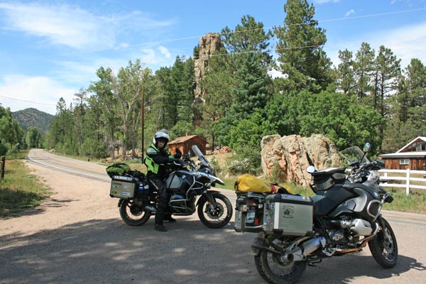
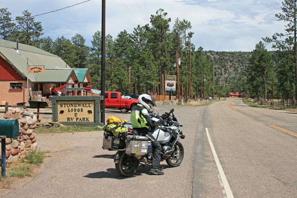
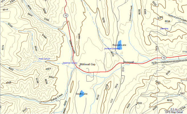
Stonewall Gap
|
Stonewall Gap |
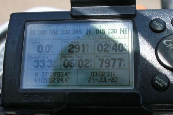
Stonewall Gap - Las Animas County - Colorado - 7,930 feet
Middle Fork Purgatoire River flows through Stonewall Gap.
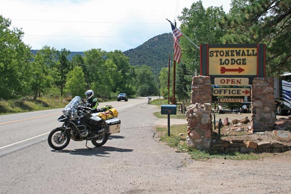
On CO-12 between La Veta and Trinidad.
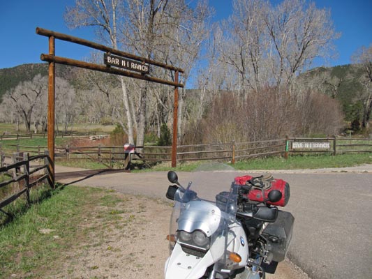
paved - road bike
#173 - photos by Randy Bishop, 7/21/2020
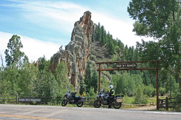
At the gap, looking south. |
At the gap, looking north. |
At the gap. |
0.1 miles east, looking east. |
0.1 miles east, looking west. |
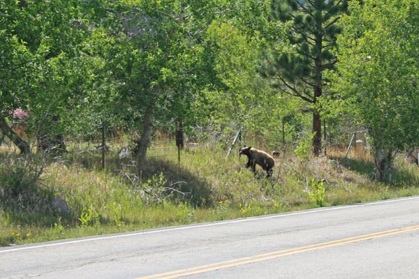
0.1 miles east, looking at bear. |
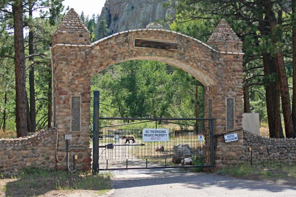
Entrance to a WWII POW camp for German officers. |
0.1 miles east. |
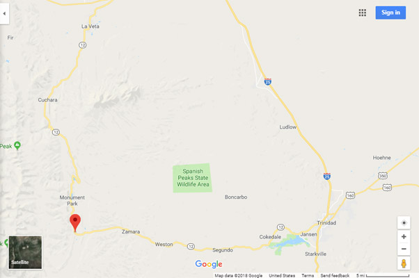
Google Maps |
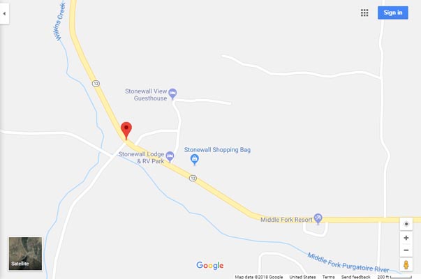
Google Maps |
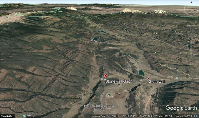
Google Earth, looking north. |
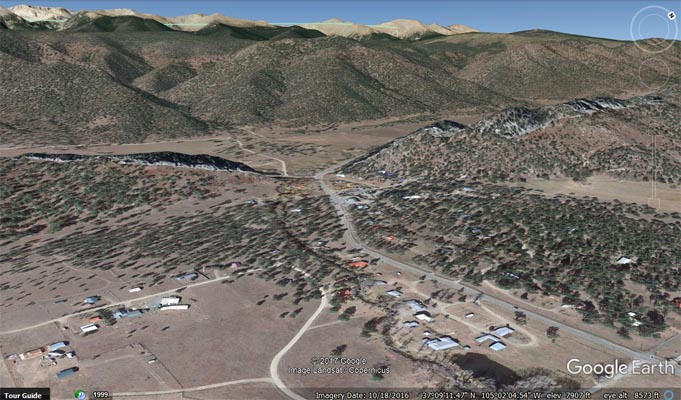
Google Earth, looking northwest. |
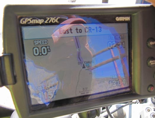
Garmin Mapsource |
photos by Karst Postma, 05/05/2011
At the gap. |
At the gap. |

At the gap. |
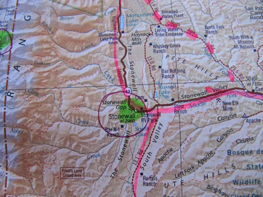
A map. |
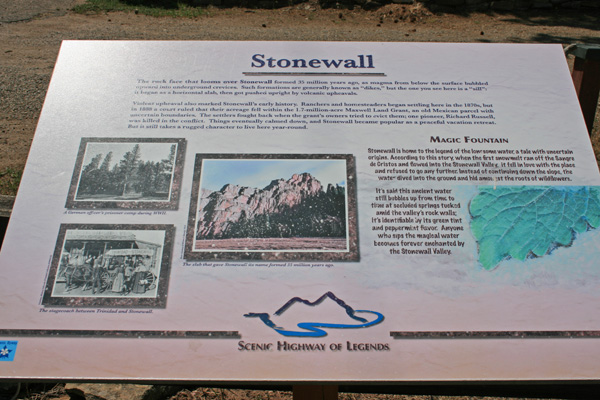
Stonewall. The rock face that looms over Stonewall formed 35 million years ago, as magma from below the
surface bubbled upward into underground crevices. Such formations are generally known as "dikes", but the
one you see here is a "sill": it began as a horizontal slab, then got pushed upright by volcanic upheavals.
Violent upheaval also marked Stonewall's early history. Ranchers and homesteaders began settling here in the
1870s, but in 1888, a court ruled that their acreage fell within the 1.7-million-acre Maxwell Land Grant, an
old Mexican parcel with uncertain boundaries. The settlers fought back when the grant's owners tried to evict
them; one pioneer, Richard Russell, was killed in the conflict. Things eventually calmed down, and Stonewall
became popular as a peaceful vacation retreat. But it still takes a rugged character to live here year-round.
| Feature Name | ID | Class | County | State | Latitude | Longitude | Ele(ft) | Map | BGN Date | Entry Date |
| Stonewall Gap | 193072 | Populated Place | Las Animas | CO | 370905N | 1050219W | 7930 | Stonewall | - | 13-OCT-1978 |