
Sunshine Saddle
|
Sunshine Saddle |
Sunshine Saddle - Boulder County- Colorado - 7,490 feet
Lefthand Creek to north. Fourmile Canyon to south.
On CR-83 northwest of Boulder.
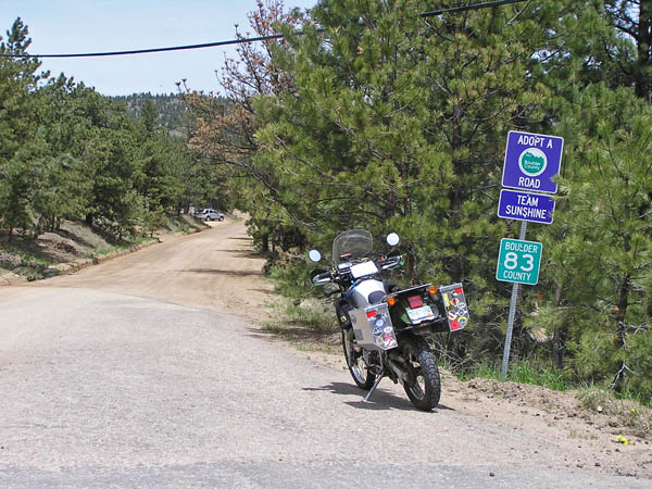
From the south - CR-83 - gravel - dual sport
From the north - hiking trail
photos by Randy Bishop, 6/24/2020
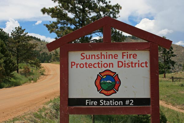
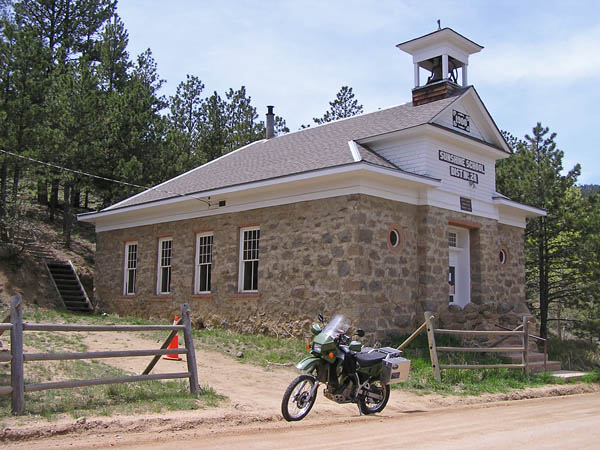
On Sunshine Canyon Dr (CR-52) about 2 miles south of summit. |
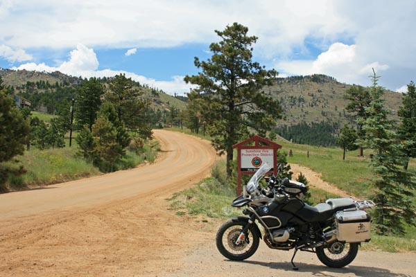
On Sunshine Canyon Dr (CR-52) about 2 miles south of summit. |
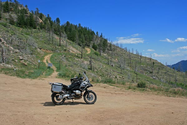
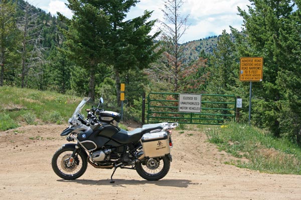
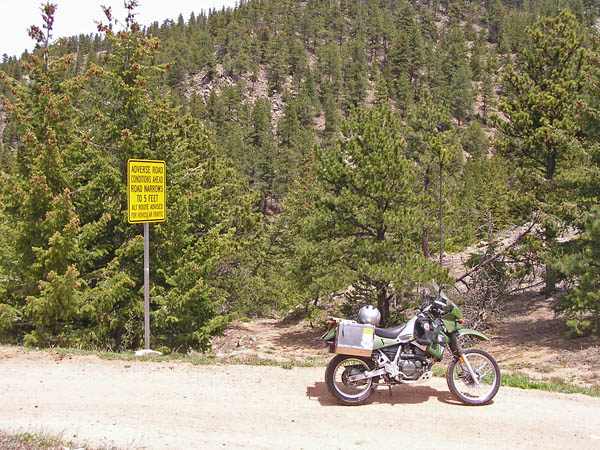
On CR-83 about 1.3 miles south of summit. |
On CR-83 about 1.3 miles south of summit. |
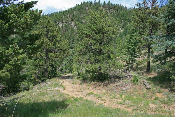
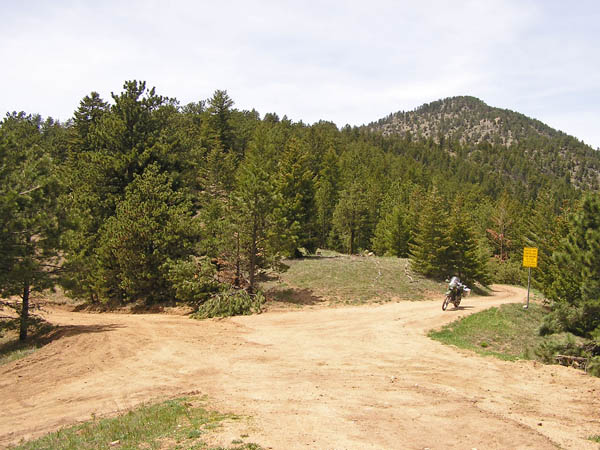
At the summit, looking north toward hiking trail. |
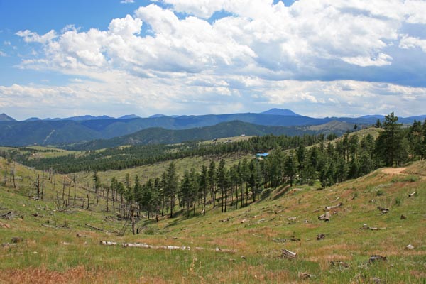
At the summit, looking east. |
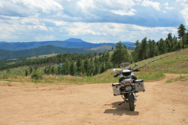
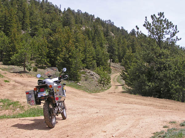
At the summit, looking south on CR-83. |
At the summit, looking south. |
At the summit, looking west. |
At the summit. |
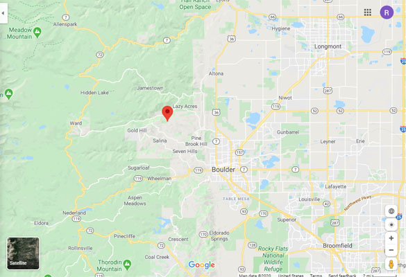
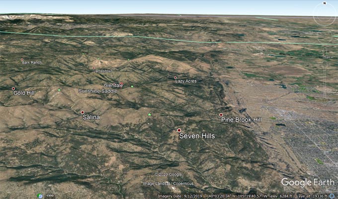
Google Maps |
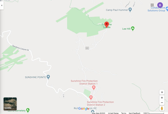
Google Maps |
Google Earth |
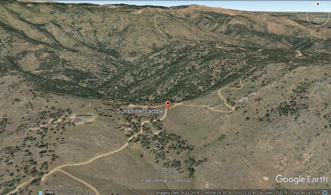
Google Earth |
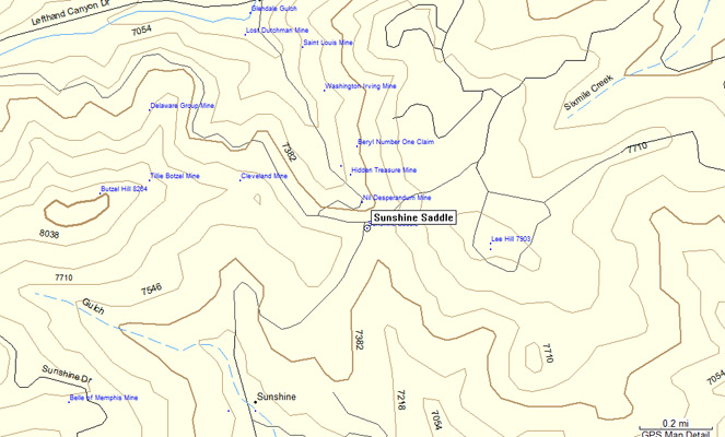
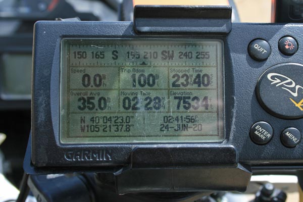
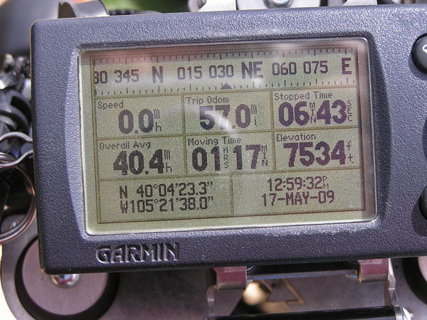
Garmin Mapsource |
#128 - photos by Randy Bishop, 5/17/2009

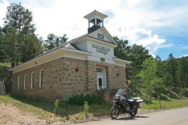
On CR-83, just off Sunshine Canyon Dr (CR-52). |
On CR-83, just off Sunshine Canyon Dr (CR-52). |
On CR-83 about 1.3 miles south of summit. |
At the summit, looking north toward hiking trail. |
At the summit looking east. |
At the summit, looking west. |
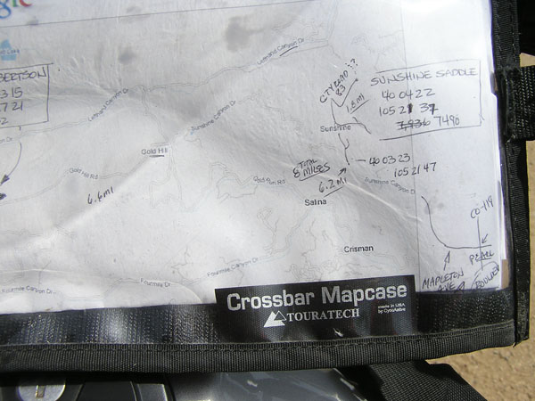
The map. |
At the summit. |
| Feature Name | ID | Class | County | State | Latitude | Longitude | Ele(ft) | Map | BGN Date | Entry Date |
| Sunshine Saddle | 176616 | Gap | Boulder | CO | 400422N | 1052139W | 7477 | Boulder | - | 13-OCT-1978 |