
Templeton Gap
|
Templeton Gap |
Templeton Gap - El Paso County - Colorado - 6,319 feet
Monument Creek (East) flows through the gap.
In Colorado Springs on Austin Bluffs Parkway.
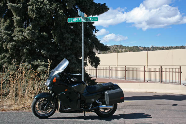
paved - road bike
photos by Scott Westfall, 5/29/2021
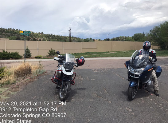
At west side of gap, on Templeton Gap Rd. 38°53'19.0"N 104°46'58.4"W 38.888622N 104.782892W |
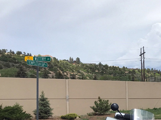
At west side of gap, on Templeton Gap Road. |
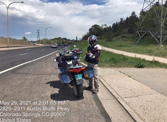
In the gap, on Austin Bluffs Pkwy. 38°53'21.1"N 104°46'39.4"W 38.889182N 104.777610W |
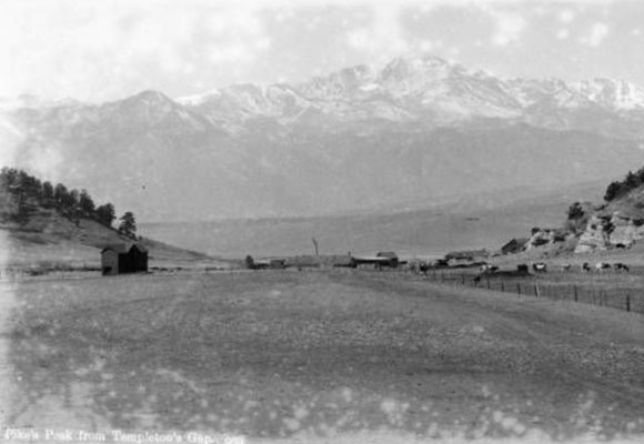
Antique photo of "Pikes Peak from Templeton's Gap". |
#154 (gap) - photos by Randy Bishop, 2/19/2011
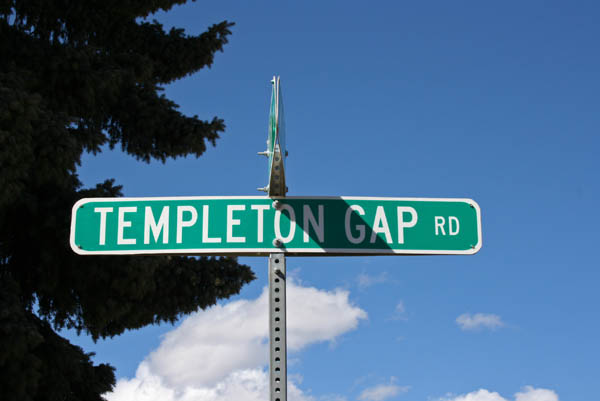
At west side of gap. |
At west side of gap. |
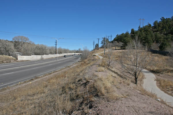
At west side of gap, looking east. |

At west side of gap, looking west. |
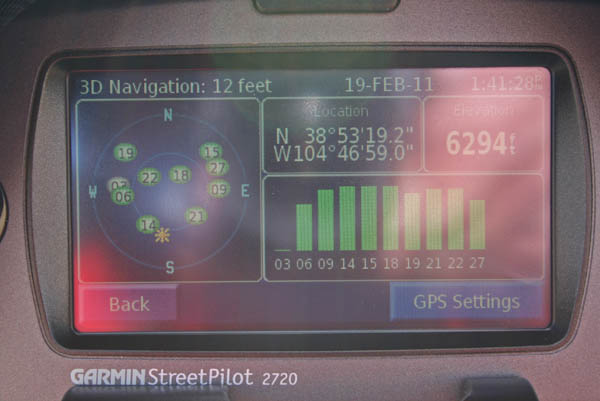
At west side of gap. 38 53 19.2N 104 46 59.0W |
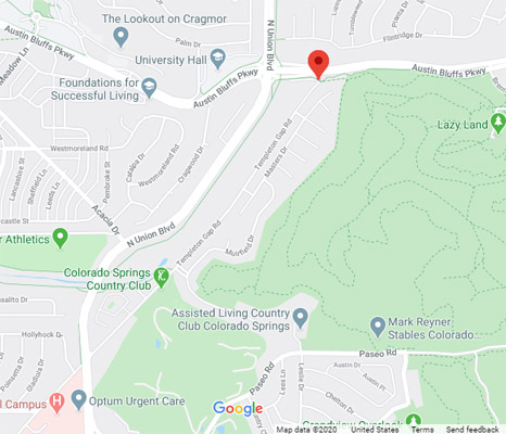
Google Maps |
At east side of gap. |
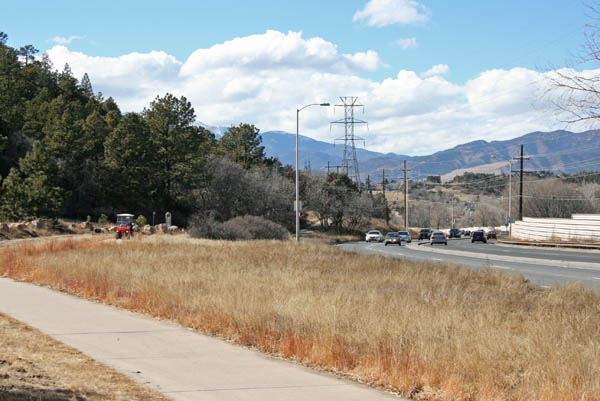
At east side of gap, looking west. |
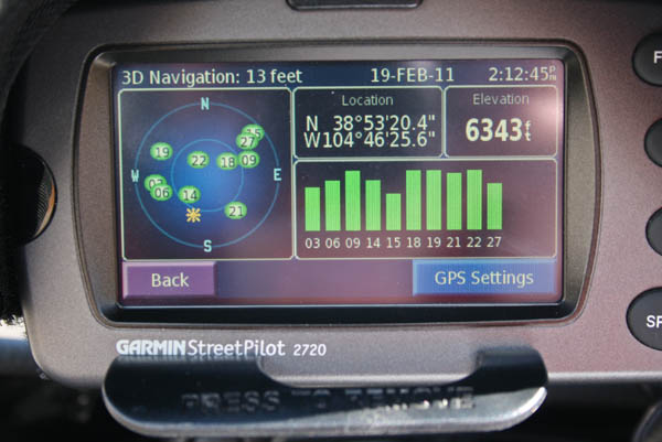
At east side of gap. 38 53 20.4N 104 46 25.6W |
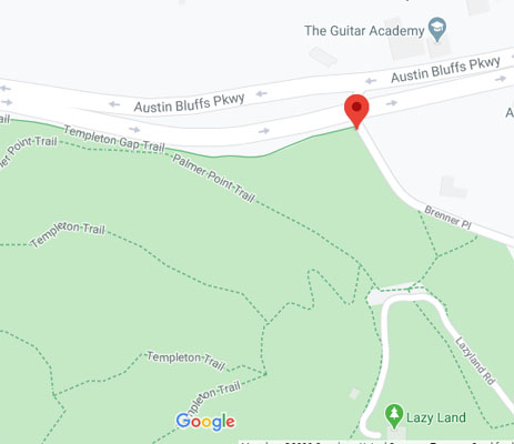
Google Maps |
Google Maps |
Google Maps |
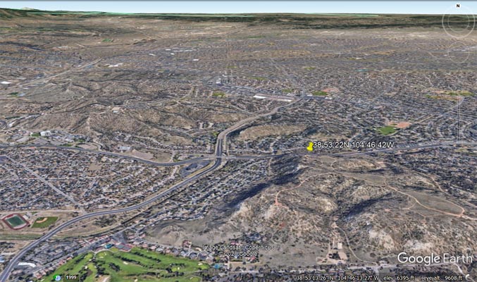
Google Earth |
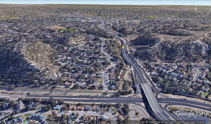
Google Earth, looking east. |
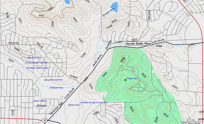
Garmin MapSource |
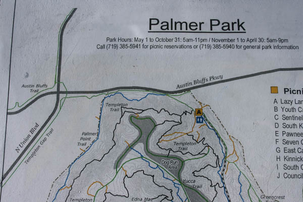
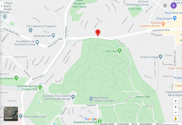
Palmer Park map |

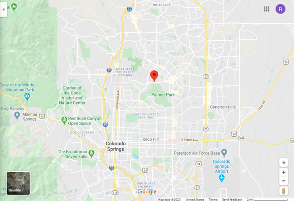
Colorado Springs map |
| Feature Name | ID | Class | County | State | Latitude | Longitude | Ele(ft) | Map | BGN Date | Entry Date |
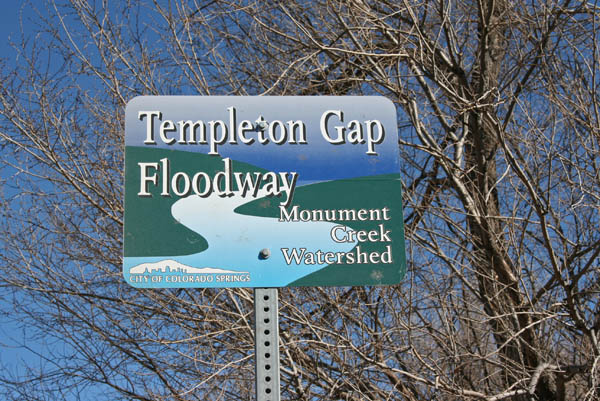
| Templeton Gap Floodway | 193356 | Canal | El Paso | CO | 385304N | 1044817W | 6217 | Pikeview | - | 13-OCT-1978 |