
The Gap - Iron Mine Gap
|
The Gap - Iron Mine Gap |
The Gap - Moffat County - Colorado - 7,634 feet
other name: Iron Mine Gap
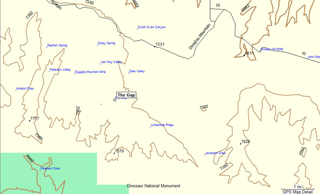
Grass Draw to north. Yampa River to south.
West of Maybell on CO-318 and various county roads.
dirt - dual sport
photos by Karst Postma, 5/20/2012
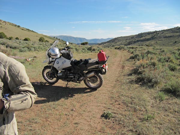
On the way to the summit. |
At the summit. |
At the summit, looking north. |
At the summit, looking south. |
At the summit. |
At the summit. |
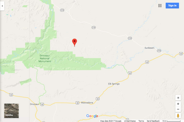
Google Maps |
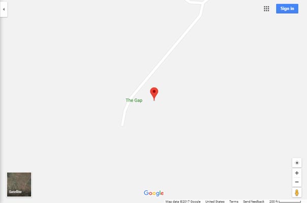
Google Maps |

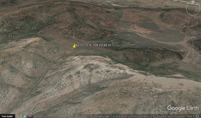
Google Earth |
Google Earth |
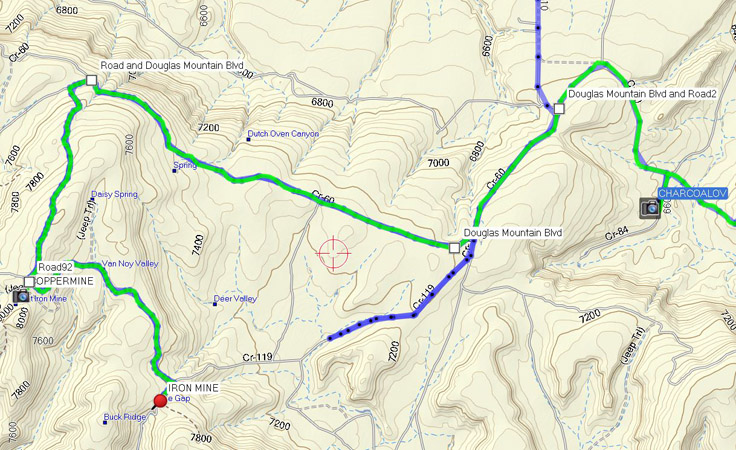
Garmin Mapsource |
Garmin Mapsource |
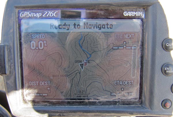
Contour Map |
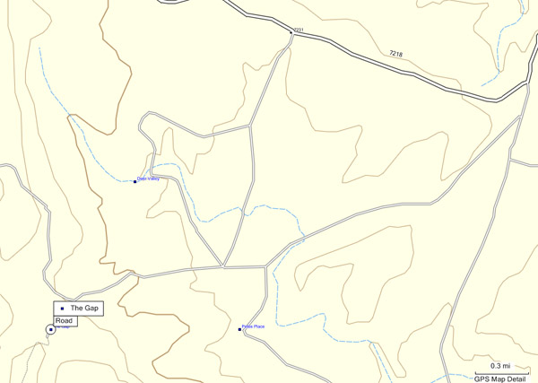
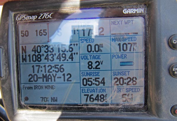
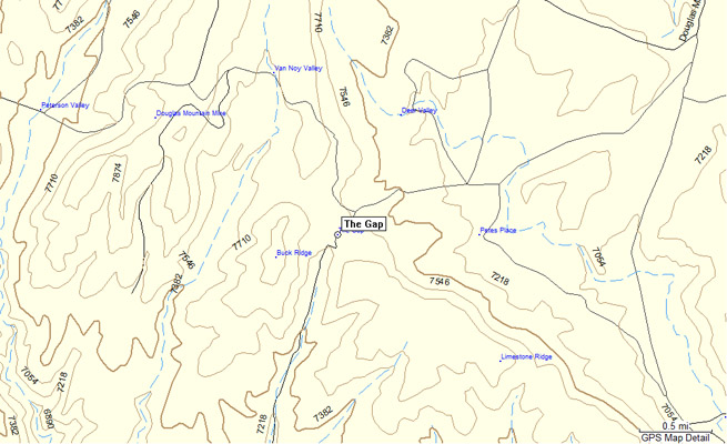
GPS Map |
Notes from Karst: From Maybell, Road 318 North, Road 12 West, Road 10 South, Road 60 South for 1.5 miles.
Do not go straight on Road 119, it is private, gated and locked, instead go right on Road 116 West (may
also be referenced as Road 60 or Douglas Mountain Blvd) for 3.6 miles. Then take the first well travelled
road south again. Very quickly you get to a split in the road, straight thru is a two track, instead take
the turn left with a large sign referring to Douglas Mountain. Ride this road out for 4 miles until you get
at the end of the previously referenced closed Road 119. Turn right for Ľ mile and you are there at what
is clearly a pass.
There are several holes in the ground visible, left over from iron ore mining form the late 1800’s and
early 1900’s.
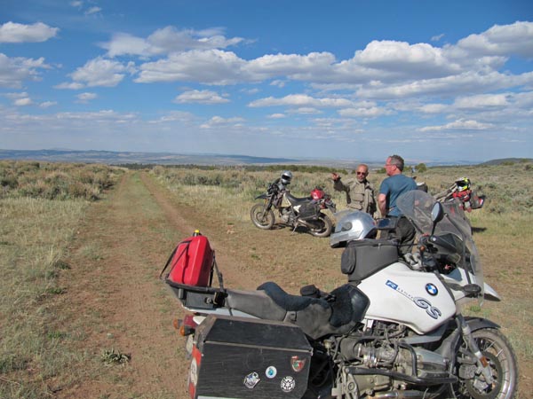
The last 6 miles of this road definitely need a dual sport bike and some intermediate skills. Parts are
steep and rocky and a little bit of easy sand.
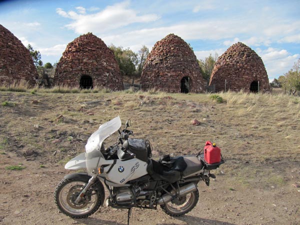
On the way back visit the charcoal kilns at 40 34 38.8N 108 39 25.4W .
Also visit Zenobia Fire Outlook at the west end of Road 60 if you get a chance.
| Feature Name | ID | Class | County | State | Latitude | Longitude | Ele(ft) | Map | BGN Date | Entry Date |
| The Gap | 170628 | Gap | Moffat | CO | 403315N | 1084349W | 7634 | Greystone | - | 13-OCT-1978 |