
The Gate
|
The Gate |
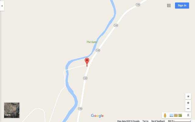
The Gate - Gunnison County - Colorado - 8,046 feet
Lake Fork of the Gunnison River flows north through The Gate.
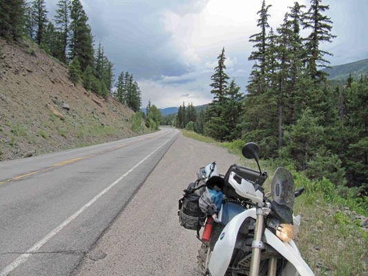
On CO-149 between Powderhorn and Lake City
paved - road bike
#162 (gap) - photos by Randy Bishop, 07/20/2017
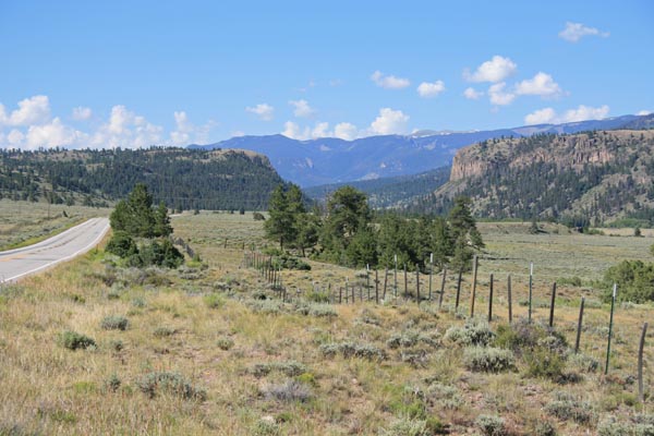
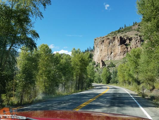
Looking south toward the gap. Shows the distinctive profile of the gap. |

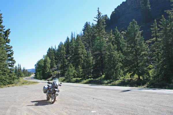
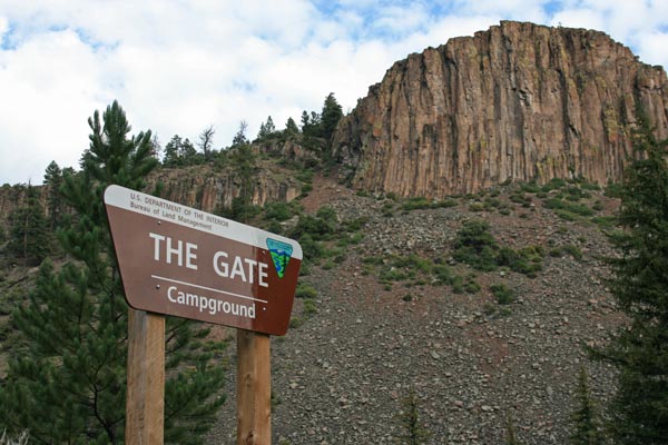
In the gap. Sign shows the name 'The Gate'. |
At the gap, looking south. |
In the gap, looking north. Somewhat shows the distinctive profile of the gap. |
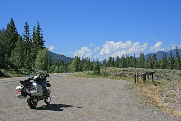
In the gap. Coordinates of safe parking spot are only 1/10 mile from the USGS coordinates. |

Google Maps |
Google Maps |

Google Earth, looking north. |
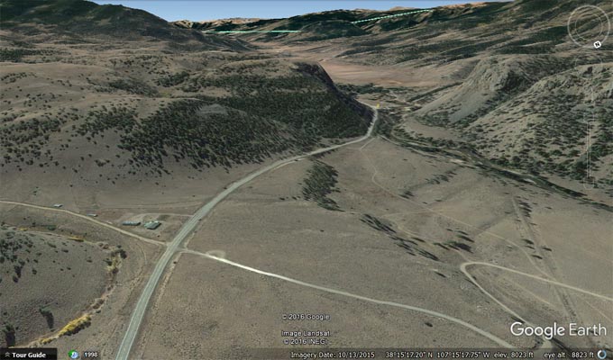
Google Earth, looking south. |
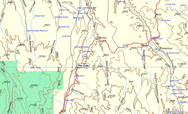
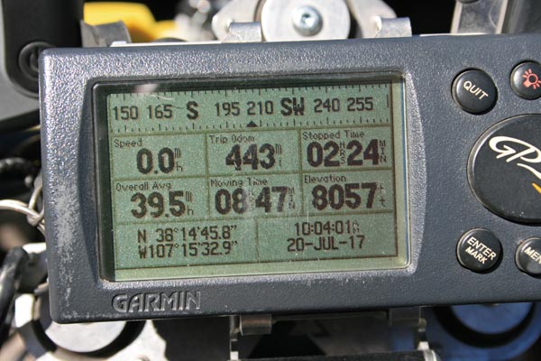
Garmin Mapsource |
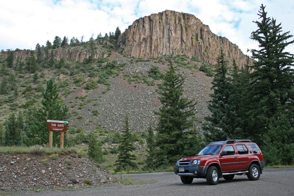
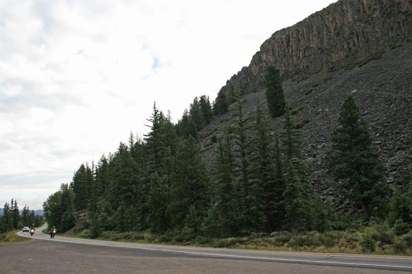
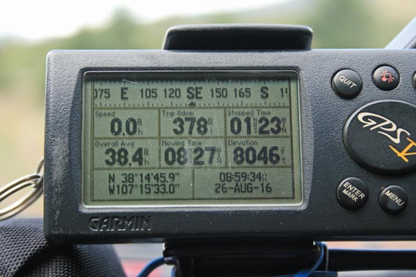
photos by Randy Bishop, 08/26/2016
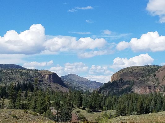
Looking north toward the gap. Shows the distinctive profile of the gap. |
Looking north toward the gap. |
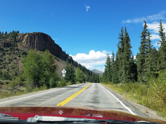
Looking north toward the gap. Shows the distinctive profile of the gap. |
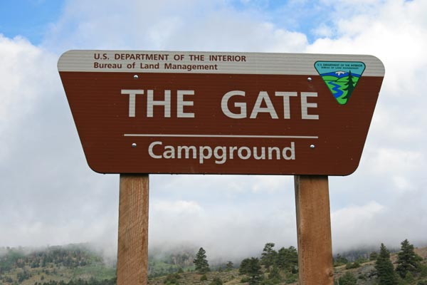
In the gap. Sign shows the name 'The Gate'. |
In the gap, looking northwest. Shows the distinctive profile of the gap. |
In the gap, looking northwest. Shows the distinctive profile of the gap. |
In the gap, looking north. Shows the distinctive profile of the gap. |
In the gap. Coordinates of safe parking spot are only 1/10 mile from the USGS coordinates. |
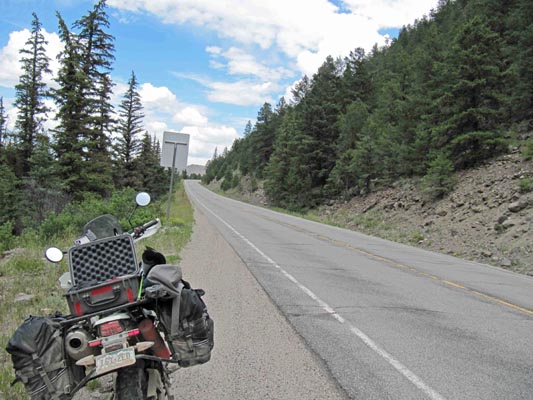
photos by Karst Postma, 07/27/2013
In the gap, looking south. |
In the gap, looking north. |
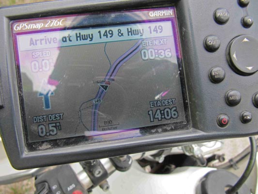
In the gap. Display shows the finish waypoint of the gap. |
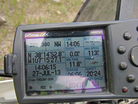
In the gap. Coordinates of safe parking spot are only 161 feet from the USGS coordinates |
| Feature Name | ID | Class | County | State | Latitude | Longitude | Ele(ft) | Map | BGN Date | Entry Date |
| The Gate | 188492 | Gap | Gunnison | CO | 381453N | 1071531W | 8018 | Alpine Plateau | - | 13-OCT-1978 |