
Tincup Pass
|
Tincup Pass |
Tincup Pass - Chaffee / Gunnison Counties - Colorado - 12,172 feet
East Willow Creek to north. North Fork of Chalk Creek to south.
Between St. Elmo and Tincup.
off-road - dirt bike or dual sport
photos by John Meyer, 7/20/2018
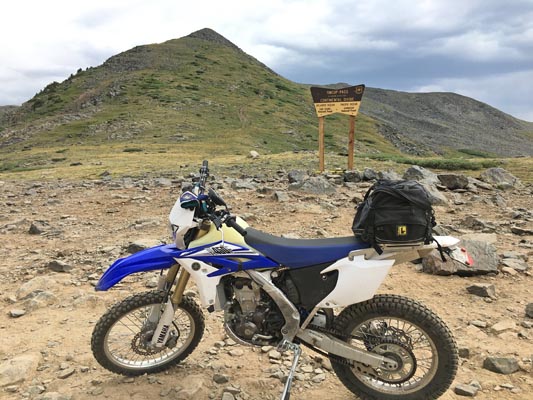
At the summit. |
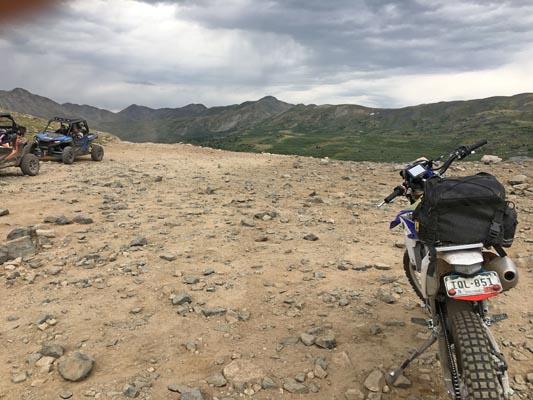
At the summit. |
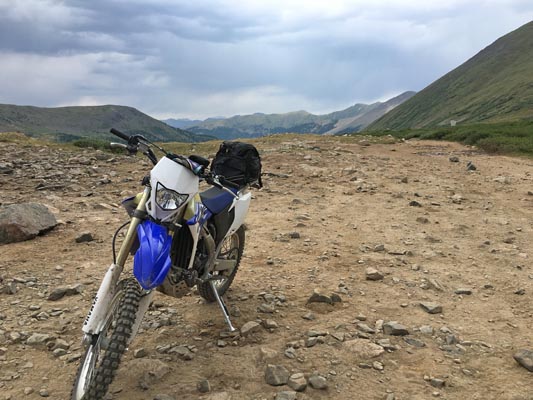
At the summit. |
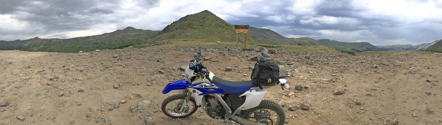
At the summit. |
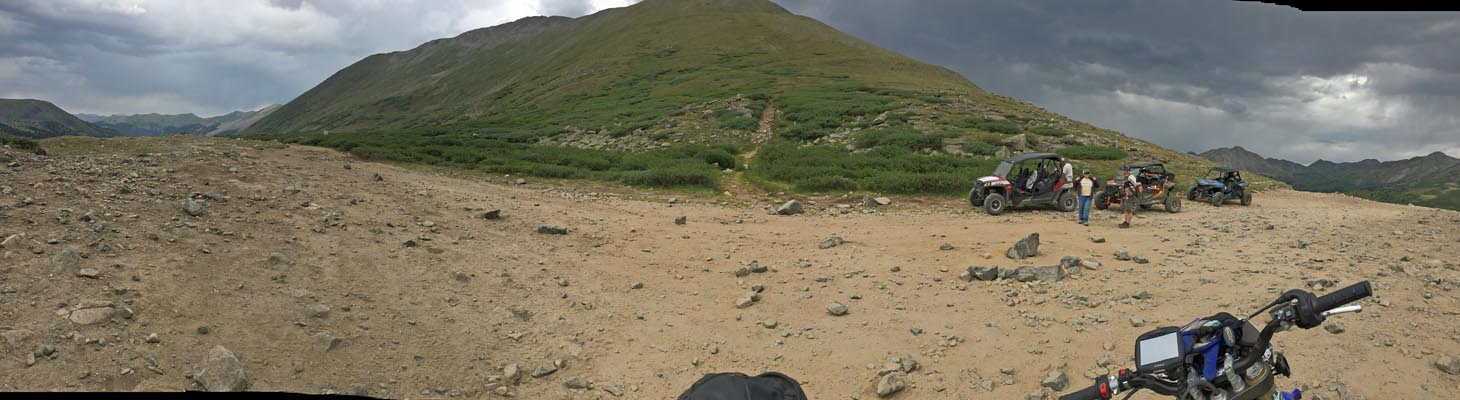
At the summit. |
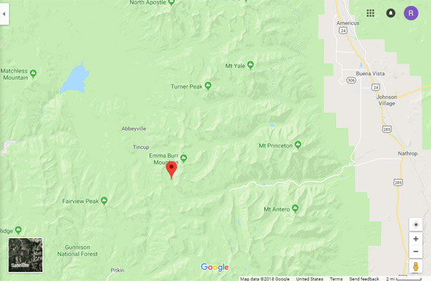
Google Maps |
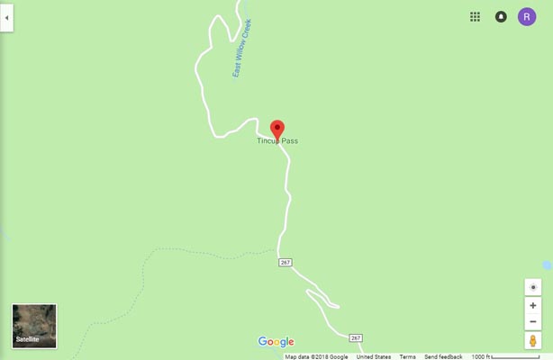
Google Maps |
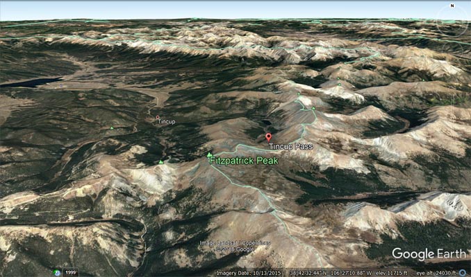
Google Earth |
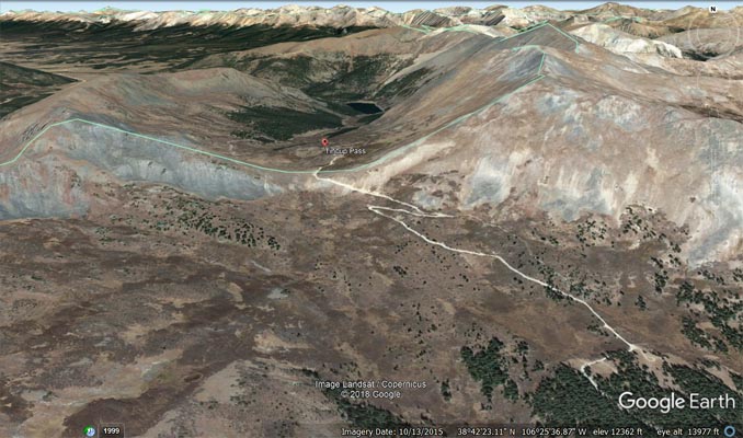
Google Earth |
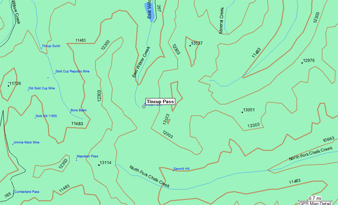
Garmin MapSource |
photo by Roamin Carloski
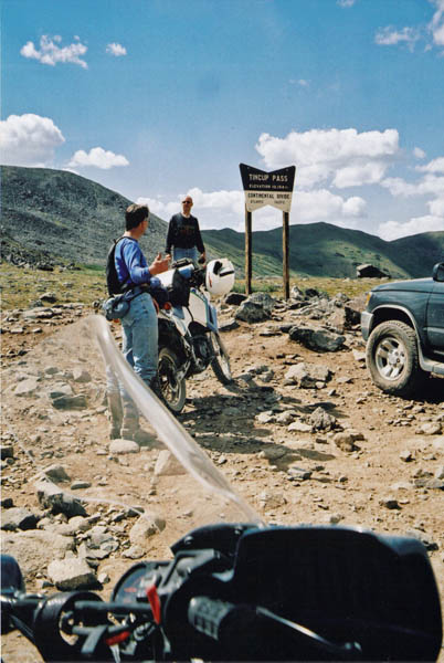
At the summit. |
photo by Wade, 8/15/2004

At the summit. |
| Feature Name | ID | Class | County | State | Latitude | Longitude | Ele(ft) | Map | BGN Date | Entry Date |
| Tincup Pass | 189295 | Gap | Gunnison | CO | 384255N | 1062604W | 11952 | Cumberland Pass | - | 13-OCT-1978 |