
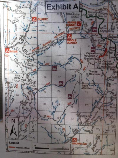
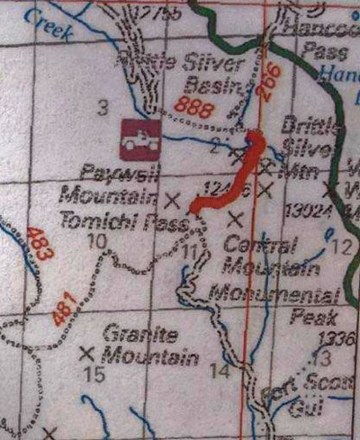
Tomichi Pass
|
Tomichi Pass |
Tomichi Pass - Gunnison County - Colorado - 11,962 feet
Quartz Creek to north. Tomichi Creek to south.
East of Pitkin on FR-888.
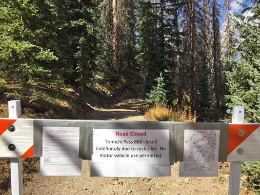
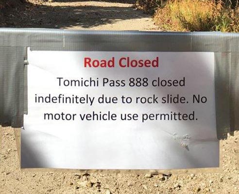
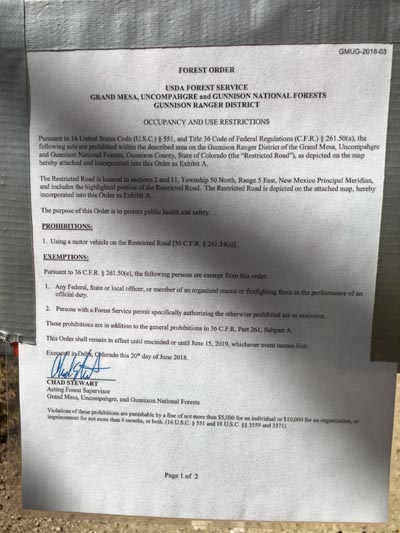
Note, as of 9/18/2018:
Must use FR-888 approach from the south.
FR-888 approach from the north is closed indefinitely due to rock slide.
off-road - dirt bike or dual sport
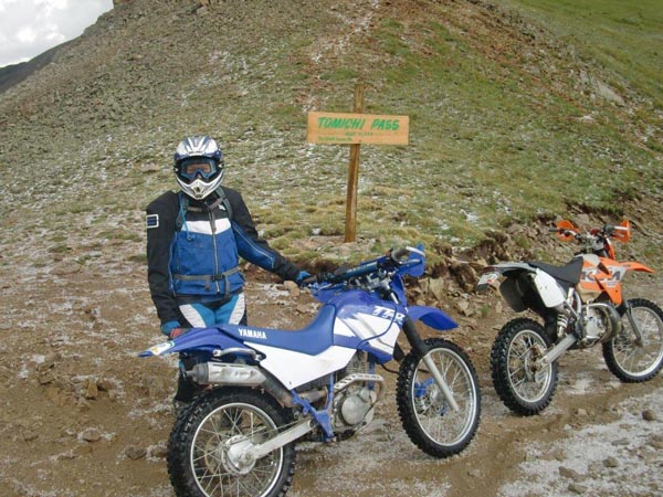
photos by John Meyer, 9/18/2018
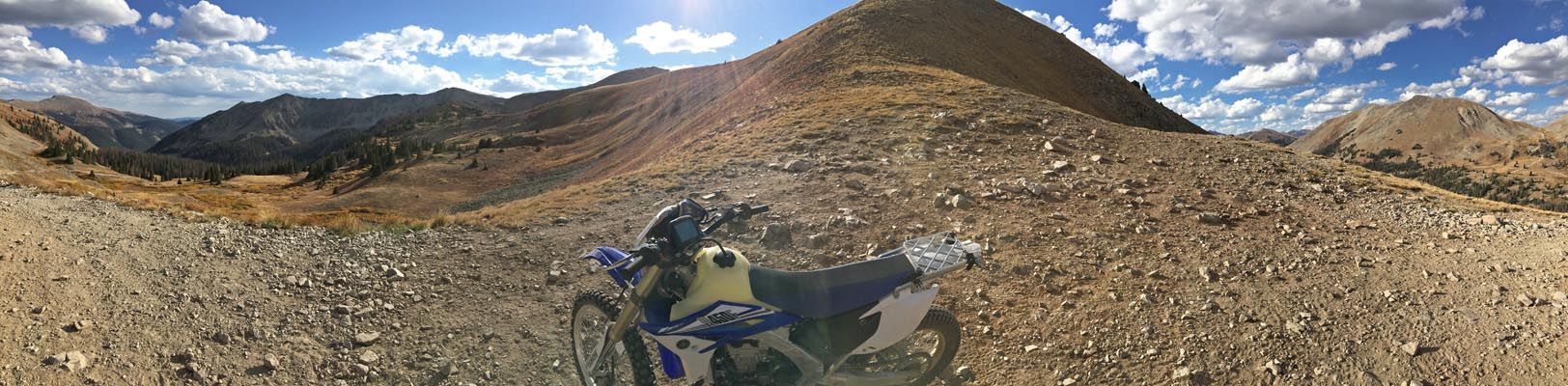
At the summit, looking south. |
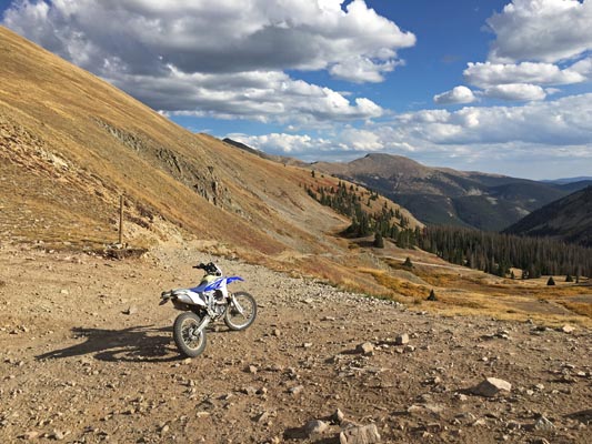
At the summit, looking south. |
At the summit, looking south. |
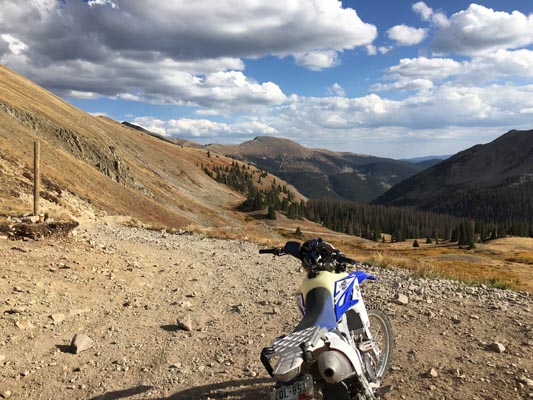
At the summit, looking east. |
At the summit, looking west. |
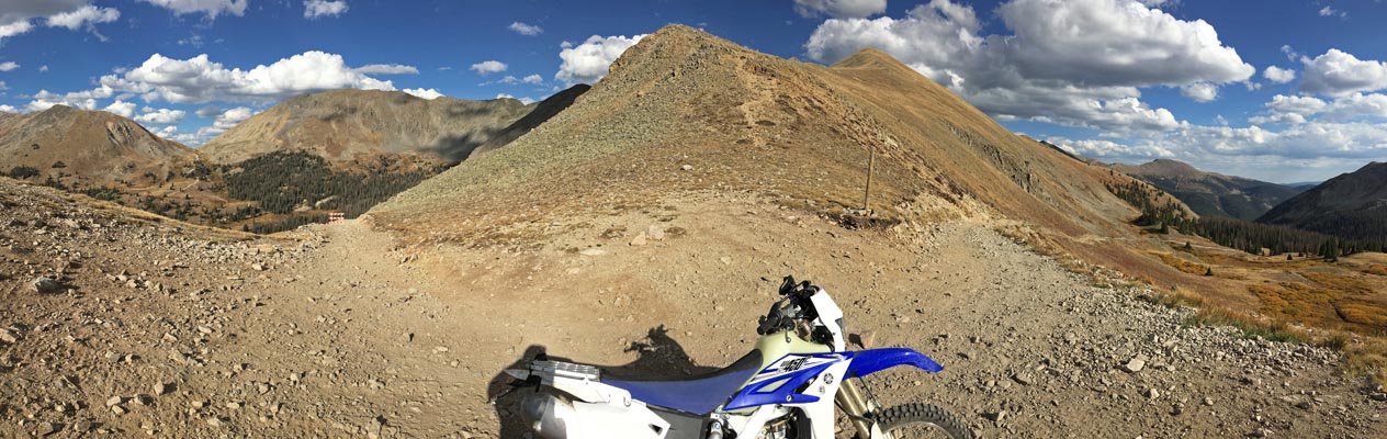
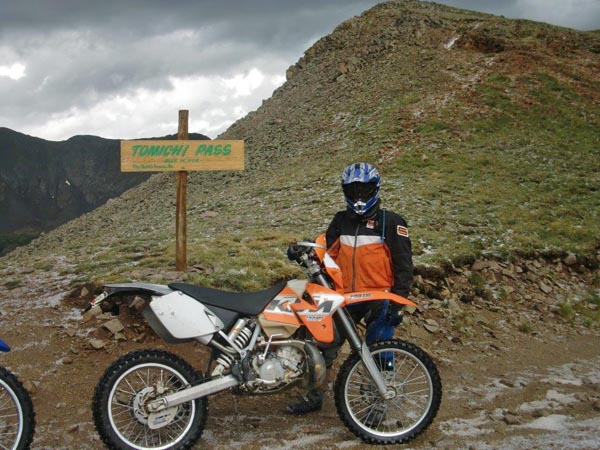
At the summit. |
At the summit. |
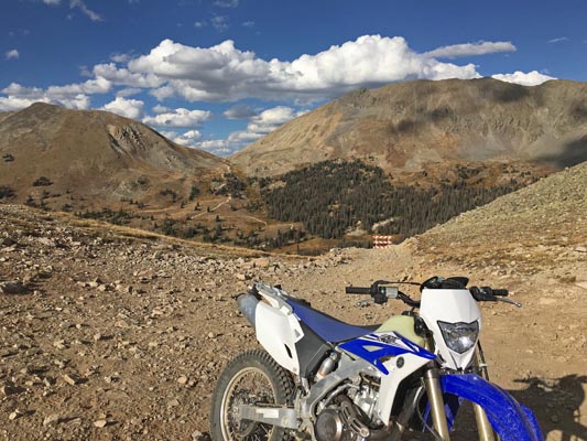
At the summit, looking north toward closed road. |
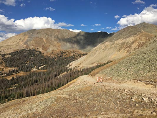
At the summit, looking north toward closed road. |
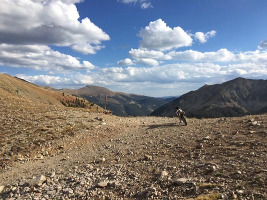
FR-888, approach from the north, looking south. |
FR-888, approach from the north, looking south. |
FR-888, approach from the north, looking south. |
FR-888, approach from the north, looking south. |
FR-888, approach from the north, looking south. |
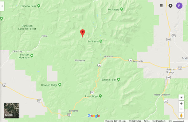
Google Maps |
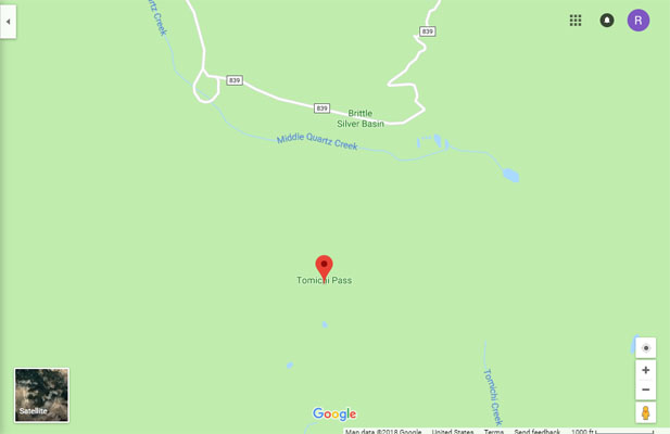
Google Maps |
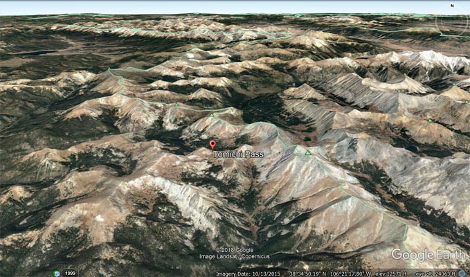
Google Earth |
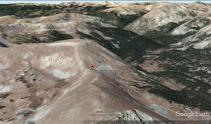
Google Earth, looking west. |
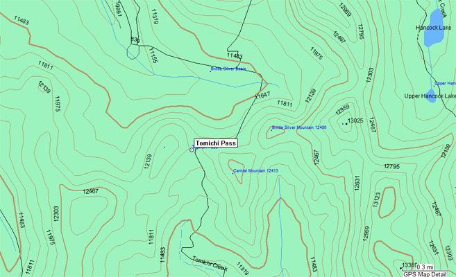
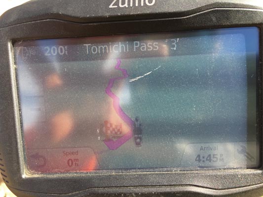
Garmin MapSource |
photos by Chris Wilder and Brandi N.
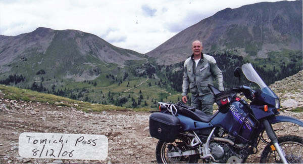
At the summit. |
At the summit. |
photo by Roamin Carloski
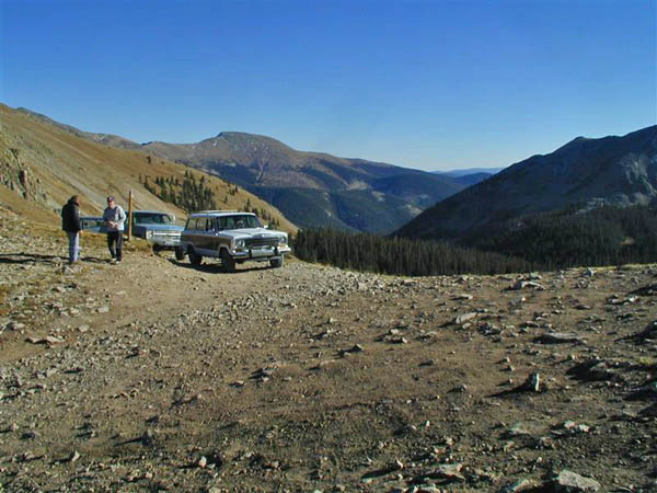
At the summit. Hancock Pass in background. |
photo by John Burrall
At the summit. |
| Feature Name | ID | Class | County | State | Latitude | Longitude | Ele(ft) | Map | BGN Date | Entry Date |
| Tomichi Pass | 189346 | Gap | Gunnison | CO | 383613N | 1062300W | 11962 | Whitepine | - | 13-OCT-1978 |