
Trout Creek Pass
|
Trout Creek Pass |
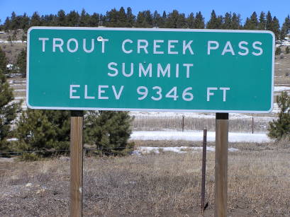
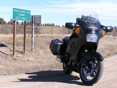
Trout Creek Pass - Chaffee/Park Counties - Colorado - 9,346 feet
(other names - Bath, Hilltop)
Salt Creek to north. Trout Creek to south.
US-24/US-285 east of Buena Vista
pavement - road bike
photos by Randy Bishop, 9/16/2017

At the summit. |
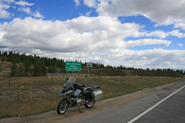
At the summit. |
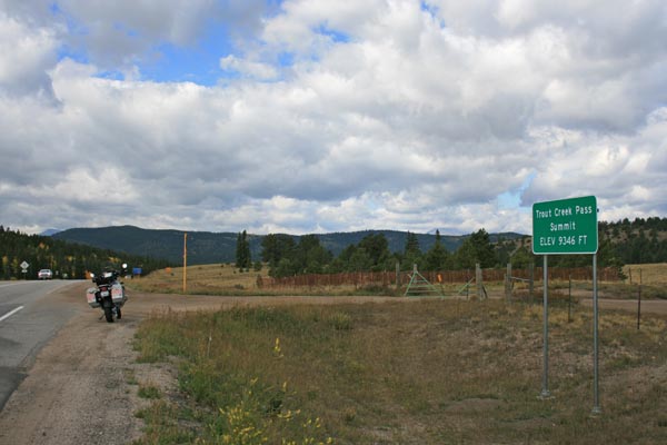
At the summit, looking northeast. |
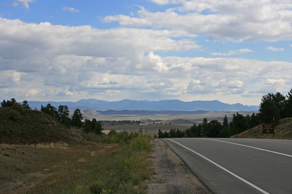
At the summit, looking southwest. |

At the summit. |
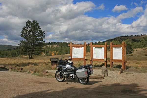
At the summit. |
At the summit. |
At the summit. |
At the summit. |
At the summit. |
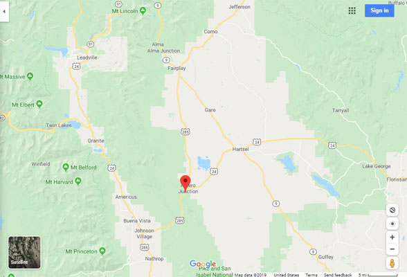
Google Maps |
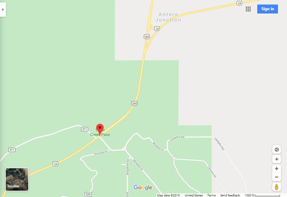
Google Maps |
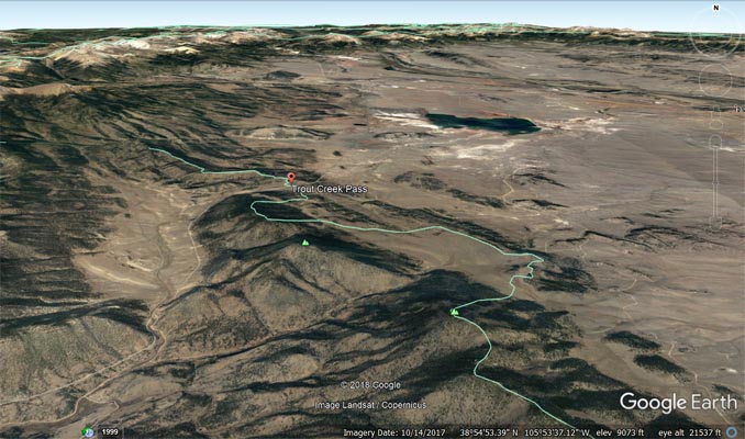
Google Earth |

Google Earth |
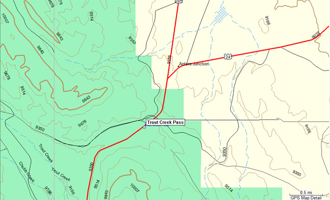
Garmin MapSource |
#4 - photos by Randy Bishop, 3/12/2005
At the summit. |
At the summit. |
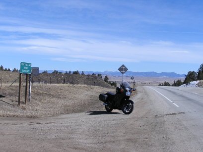
At the summit, looking northeast. |
| Feature Name | ID | Class | County | State | Latitude | Longitude | Ele(ft) | Map | BGN Date | Entry Date |
| Trout Creek Pass | 191087 | Gap | Chaffee | CO | 385436N | 1055830W | 9498 | Antero Reservoir | 01-JAN-1906 | 13-OCT-1978 |