
Twelvemile Pass
|
Twelvemile Pass |
Twelvemile Pass - Fremont County - Colorado - 6,380 feet
Twelvemile Hole Creek to west. Bumbach Gulch to east.
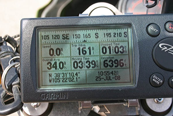
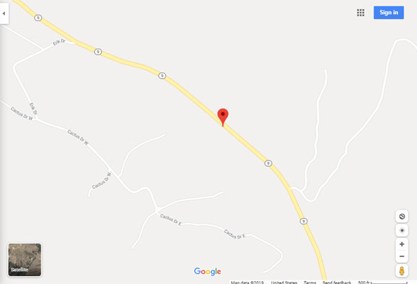
On CO-9 about 1 1/2 miles north of US-50.
paved - road bike
#117 - photos by Randy Bishop, 7/25/2008

At the summit, looking north. |
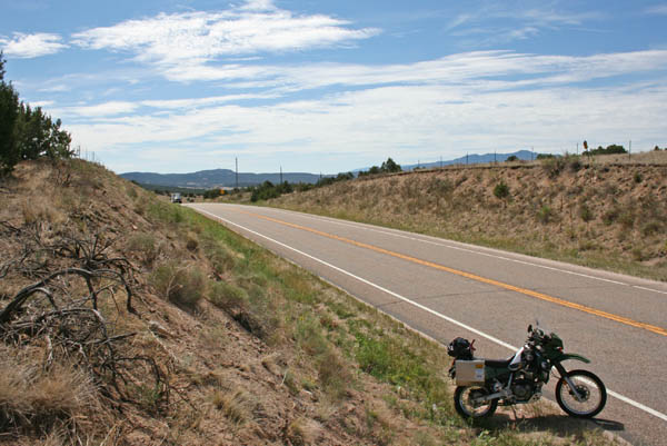
At the summit, looking south. |
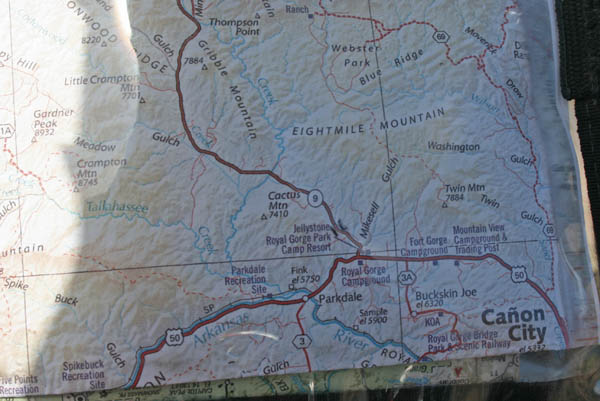
The map. |
At the summit. |
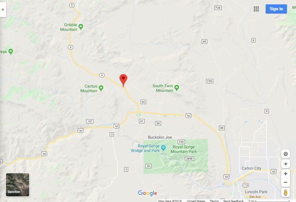
Google Maps |
Google Maps |
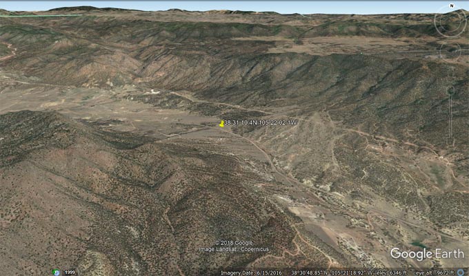
Google Earth |
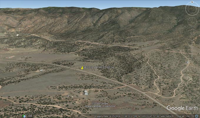
Google Earth |
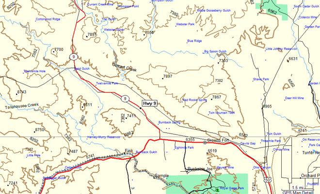
Garmin MapSource |
| Feature Name | ID | Class | County | State | Latitude | Longitude | Ele(ft) | Map | BGN Date | Entry Date |
| Twelvemile Hole | 196459 | Basin | Fremont | CO | 383235N | 1052807W | 7533 | Gribble Mountain | 01-JAN-1982 | 01-NOV-1989 |
| Twelvemile Park | 191573 | Lake | Fremont | CO | 383200N | 1052424W | 6191 | Gribble Mountain | - | 13-OCT-1978 |
| Bumback Gulch | 191572 | Valley | Fremont | CO | 382912N | 1052223W | 5725 | Royal Gorge | 01-JAN-1982 | 13-OCT-1978 |
| Bumback Spring | 191581 | Spring | Fremont | CO | 383031N | 1052107W | 6230 | Rice Mountain | - | 13-OCT-1978 |