
Twentymile Divide
|
Twentymile Divide |
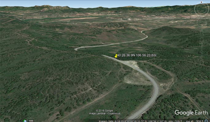
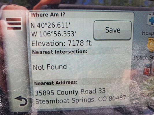
Twentymile Divide - Routt County - Colorado - 7,219 feet
Cow Creek to east. Trout Creek to west.
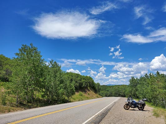
On CR-33 west of Steamboat Springs.
paved - road bike
photos by Randy Bishop, 9/15/2020
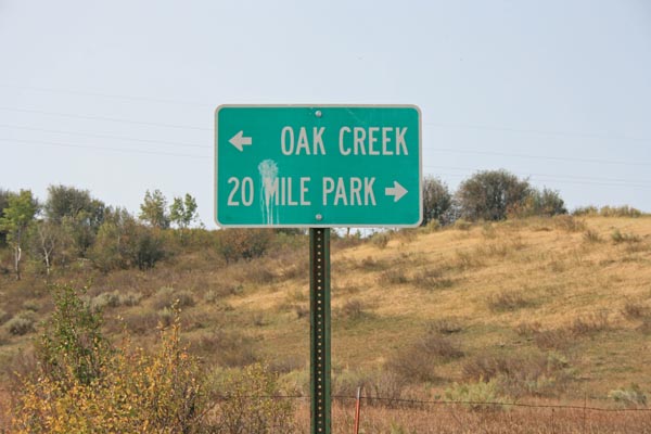
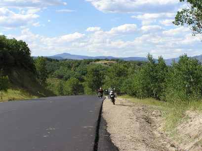
1.3 miles southwest of summit. |
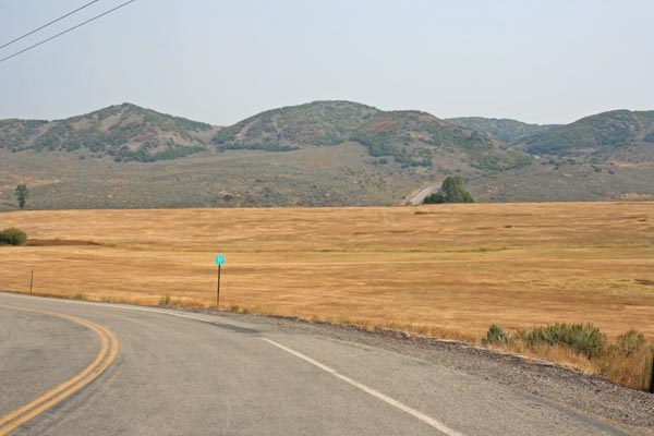
1.3 miles SW of summit, looking NE toward summit. |
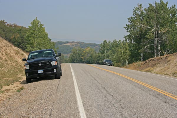
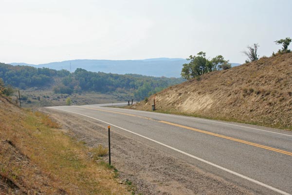
At the summit, looking north, on a wildfire smokey day. |
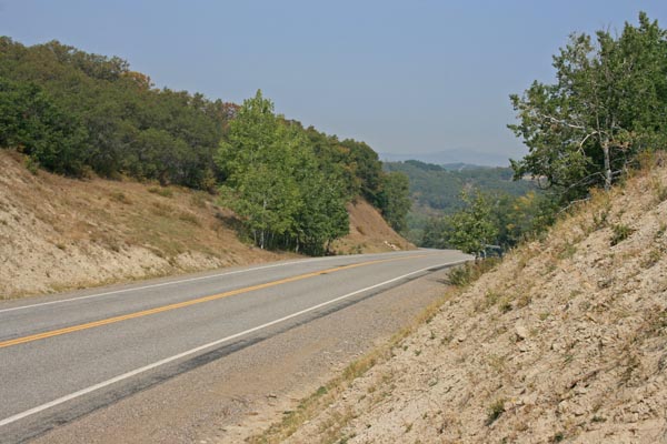
At the summit, looking north. |
At the summit, looking south. |
At the summit. |
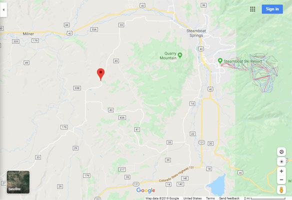
Google Maps |
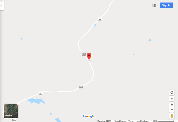
Google Maps |
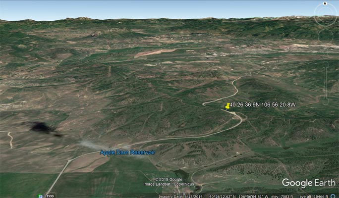
Google Earth |
Google Earth |
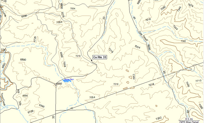
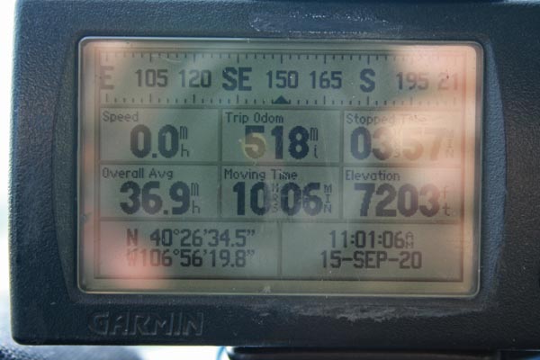
Garmin MapSource |
photos by Dave Vining, 7/4/2020
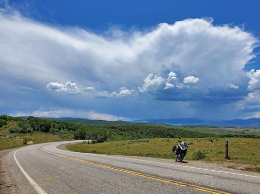
At the summit, looking south on a beautiful day. |
At the summit, looking north. |
At the summit. |
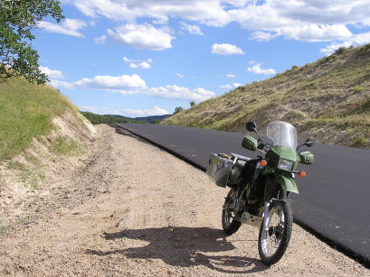
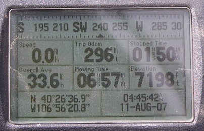
#107 - photos by Randy Bishop, 8/11/2007
At the summit, looking north. |
At the summit, looking south. |
At the summit. |
| Feature Name | ID | Class | County | State | Latitude | Longitude | Ele(ft) | Map | BGN Date | Entry Date |
| Twentymile Park | 201994 | Flat | Routt | CO | 402400N | 1070302W | 6732 | Milner | - | 01-OCT-1978 |