
Unaweep Divide
|
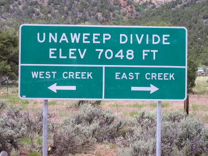
Unaweep Divide |
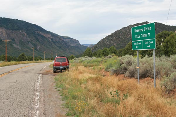
Unaweep Divide - Mesa County - Colorado - 7,048 feet
West Creek to west. East Creek to east.
On CO-141 east of Gateway
pavement - road bike
photos by Randy Bishop, 08/28/2016
At the summit, looking west. |

At the summit, looking east. |
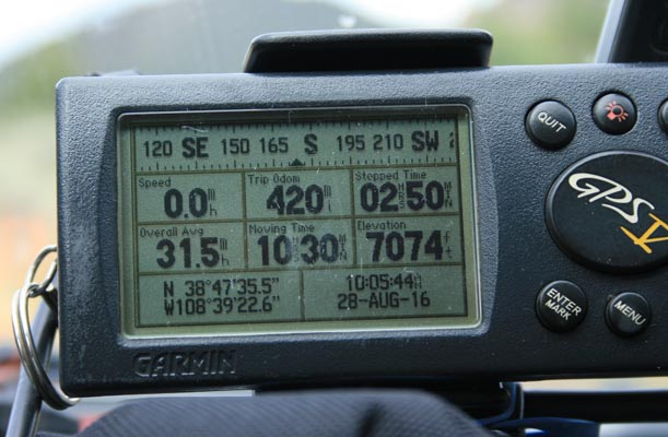
At the summit. |
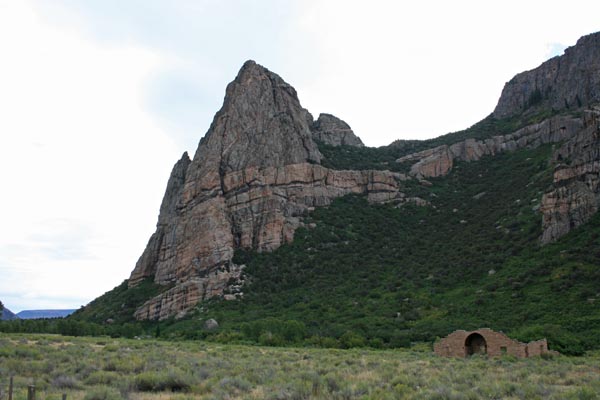
About 5.5 miles west of summit. |

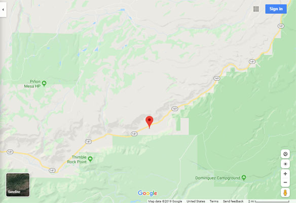
Looking west from Driggs Mansion and Thimble Rock Point. |
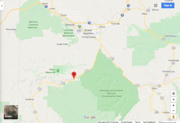
Google Maps |
Google Maps |
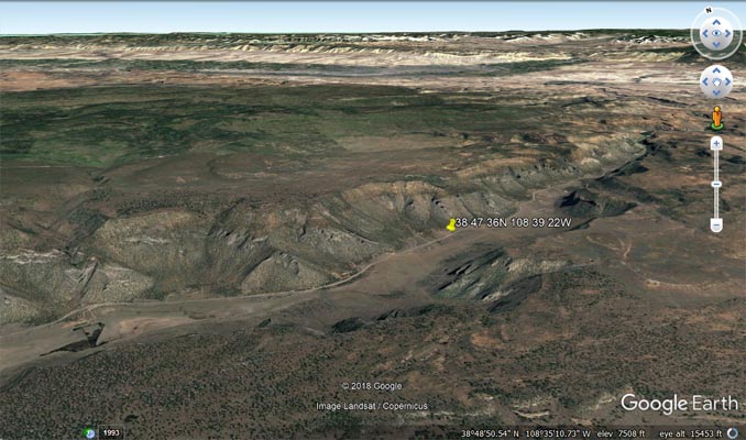
Google Earth |
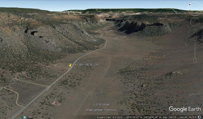
Google Earth |
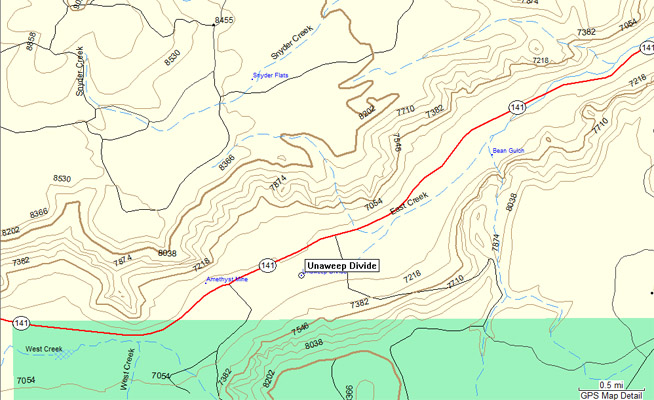
Garmin MapSource |
#37 - photos by Randy Bishop, 06/10/2006 (on the long way to Moab)
At the summit. |

At the summit. |

At the summit, looking east. |
| Feature Name | ID | Class | County | State | Latitude | Longitude | Ele(ft) | Map | BGN Date | Entry Date |
| Unaweep Divide | 185320 | Ridge | Mesa | CO | 384726N | 1083918W | 7008 | Snyder Flats | - | 13-OCT-1978 |