
Ute Pass
|
Ute Pass |
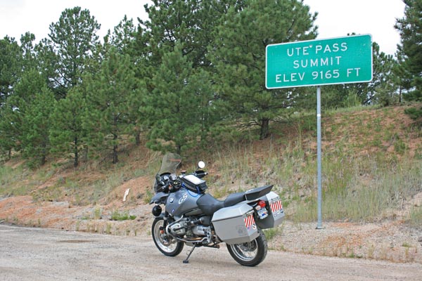
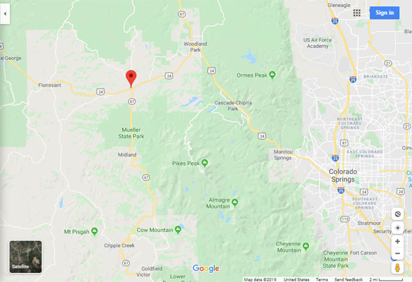
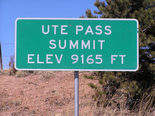
Ute Pass - Teller County - Colorado - 9,165 feet
other names - Divide, Hayden Divide, Twin Creek, Yute
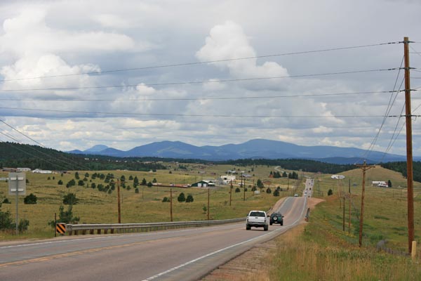
Twin Creek to west. Trout Creek to east.
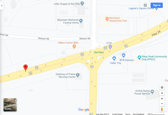
In Divide CO on north side of US-24 1/2 block west of traffic light.
pavement - road bike
photos by Randy Bishop, 8/7/2016
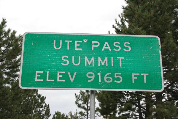
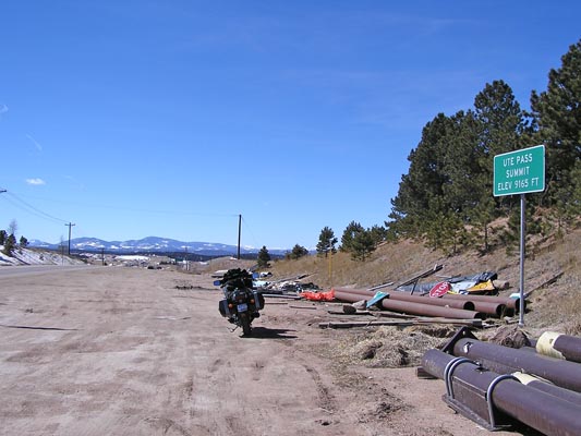
At the summit. |
At the summit. |

At the summit, looking east. |
At the summit, looking west. |

At the summit. |
Google Maps |
Google Maps |
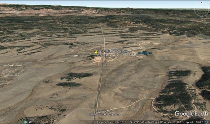
Google Earth |
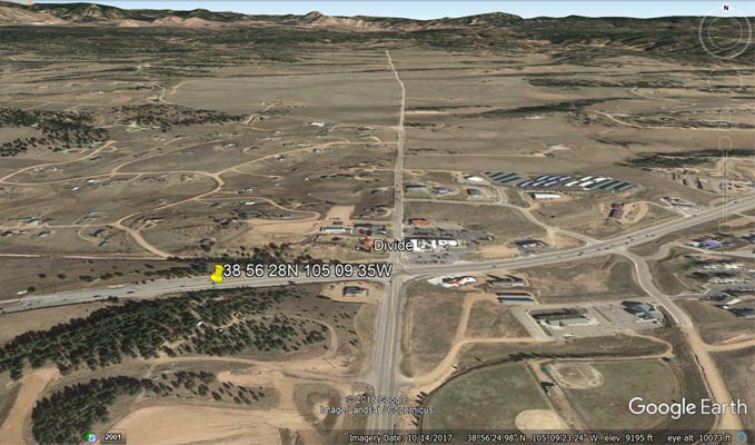
Google Earth |
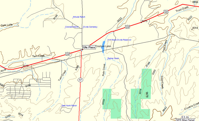
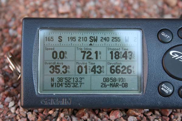
Garmin MapSource |
03/26/2008
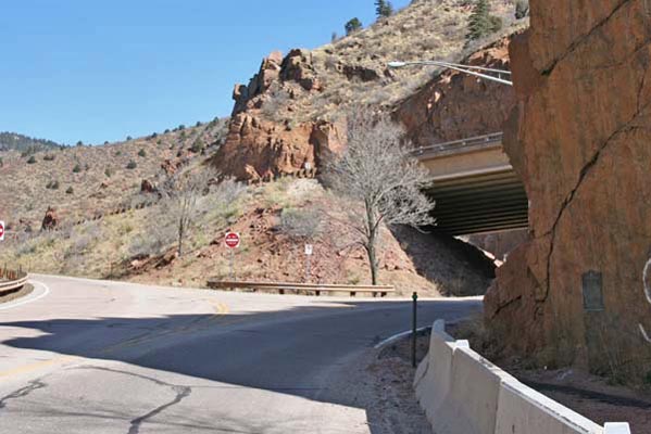
At the north edge of Manitou Springs. |
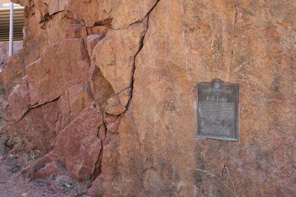
At the north edge of Manitou Springs. |
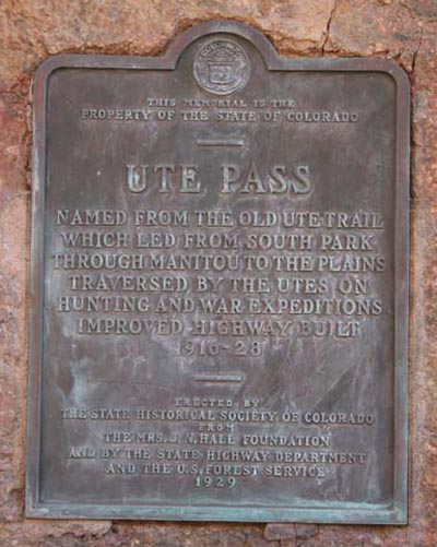
Vintage 1929 bronze marker. |
At the north edge of Manitou Springs. |
#7 - photos by Randy Bishop, 03/12/2005
At the summit. |

At the summit. |
At the summit, looking west. |
The 1929-vintage
History Colorado (State Historical Society of Colorado) marker reads:
This memorial is the property of the State of Colorado. Ute Pass. Named from the Old Ute Trail which led
from South Park through Manitou to the plains. Traversed by the Utes on hunting and war expeditions.
Improved highway built 1916-28. Erected by the State Historical Society of Colorado from the
Mrs. J. N. Hall Foundation and by the State Highway Department and the U.S. Forest Service. 1929.
| Feature Name | ID | Class | County | State | Latitude | Longitude | Ele(ft) | Map | BGN Date | Entry Date |
| Ute Pass | 196453 | Gap | Teller | CO | 385630N | 1050927W | 9186 | Divide | 01-JAN-1982 | 01-NOV-1989 |