
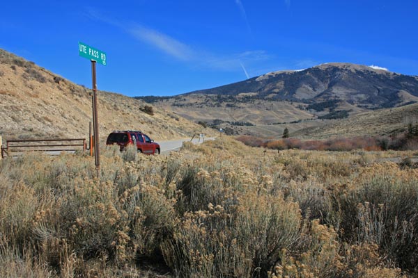
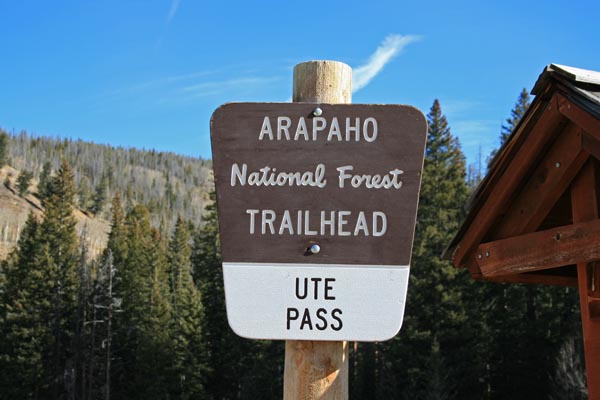
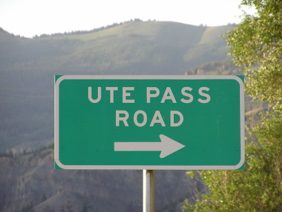
Ute Pass
|
Ute Pass |
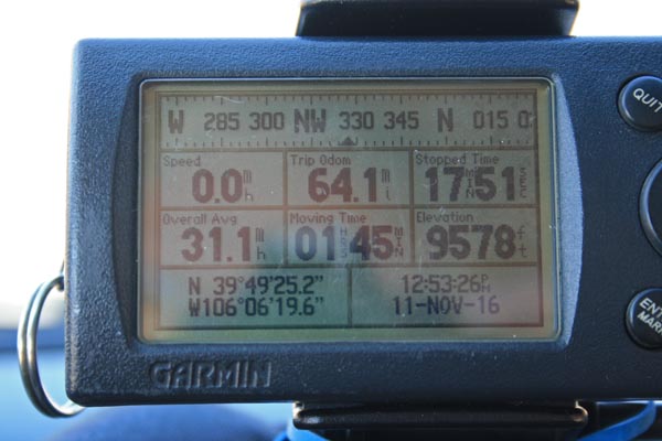
Ute Pass - Grand/Summit Counties - Colorado - 9,568 feet
Pass Creek to west. Williams Fork to east.
CR-3 northeast of Silverthorne, south of Parshall
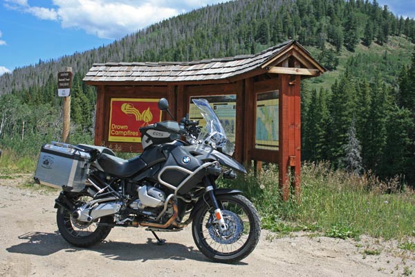
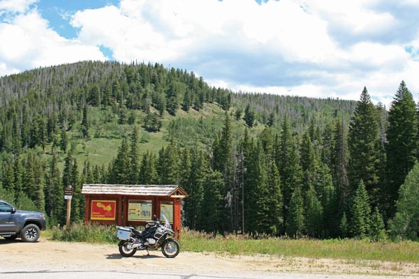
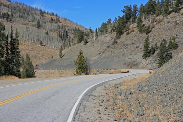
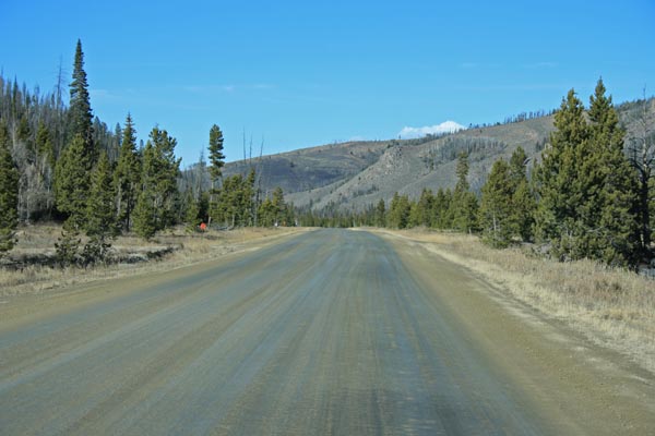
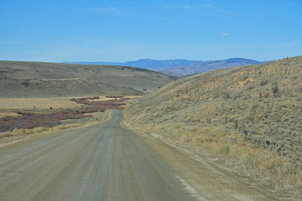
east side - gravel - dual sport
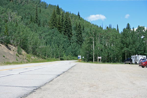
west side - pavement - road bike
photos by Randy Bishop, 08/03/2019
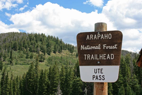
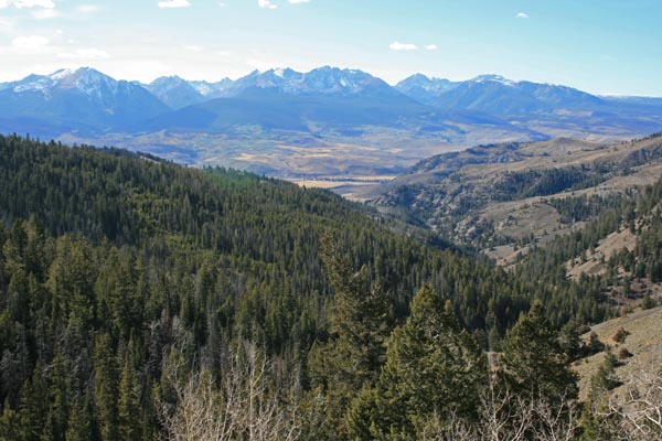
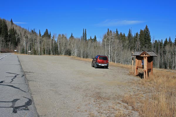
At the summit. |
At the summit. |
At the summit. |
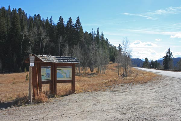
At the summit, looking north. |
At the summit, looking south. |
At the summit. |
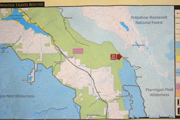
At the summit. |
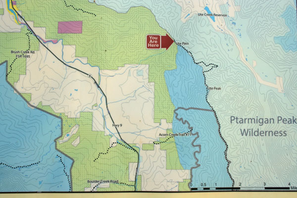
Google Maps |
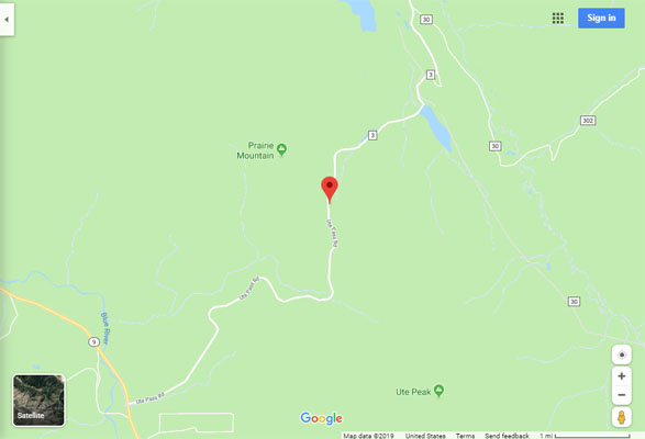
Google Maps |
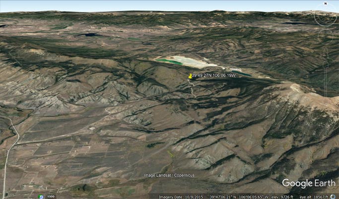
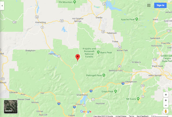
Google Earth |
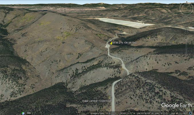
Google Earth |
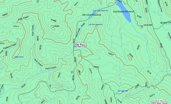
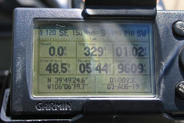
Garmin MapSource |
photos by Randy Bishop, 11/11/2016 (photos in order from Silverthorn to Parshall)
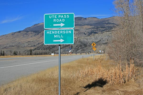
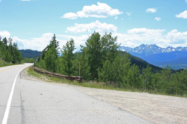
Along CO-9 north of Silverthorne. |
West of the summit, looking east. |
Near of the summit, looking west. |
Near the summit. |
At the summit. |
At the summit. |

At the summit. |
At the summit. |
At the summit. |
At the summit. |

At the summit, looking east. |

East of the summit, looking north. |
East of the summit, looking north. |
East of the summit, looking north. |
#18 - photos by Randy Bishop, 06/18/2005
Along CO-9 north of Silverthorne. |
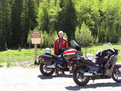
At the summit. |
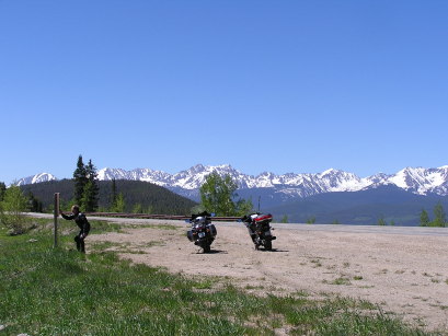
At the summit, looking west. |
| Feature Name | ID | Class | County | State | Latitude | Longitude | Ele(ft) | Map | BGN Date | Entry Date |
| Ute Pass | 175685 | Gap | Summit | CO | 394927N | 1060619W | 9570 | Ute Peak | - | 13-OCT-1978 |