
Vail Pass
|
Vail Pass |
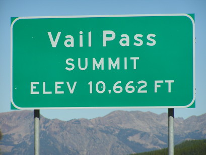
Vail Pass - Eagle/Summit Counties - Colorado - 10,662 feet
other names - Black Gore, Low Divide, Pottery
Black Gore Creek to west, West Tenmile Creek to east.
I-70 between Copper Mountain and Vail
pavement - road bike
photos by Randy Bishop, 07/19/2017
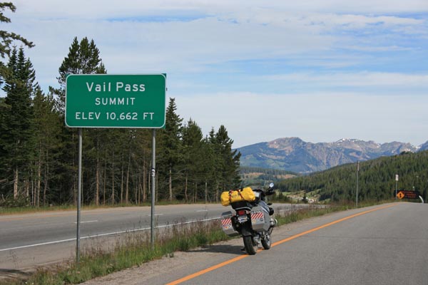
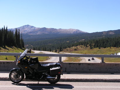
Westbound I-70, about 0.9 miles north of overpass. |
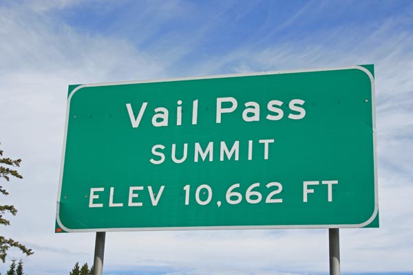
Westbound I-70 summit, looking north. |

Westbound I-70 summit, looking south. |
Westbound I-70 summit. |
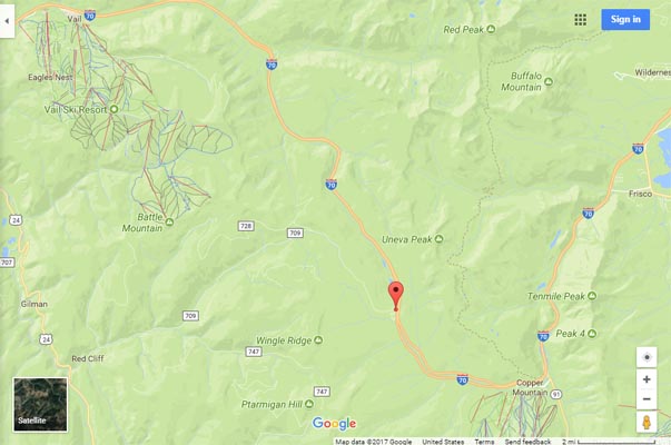
Google Maps |

Google Maps |
Google Earth |
Google Earth, showing directions to westbound CDOT sign. |
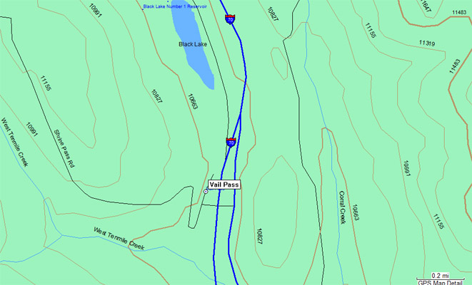
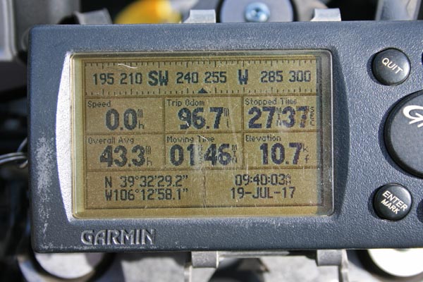
Garmin MapSource |
#31 - photos by Randy Bishop, 09/08/2005
Westbound I-70, at the summit. |
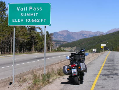
Westbound I-70, at the summit, looking north. |
At the overpass, looking south. |
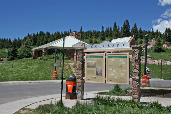
"Vail Pass Country" historical marker at the rest area. |
Interesting information.
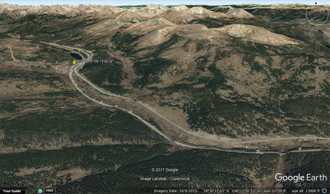
The USGS database specifies the location at 39 31 50N 106 13 02W which is 322 feet north of Shrine Pass Road. The Colorado Recreation Atlas appears to show the same.
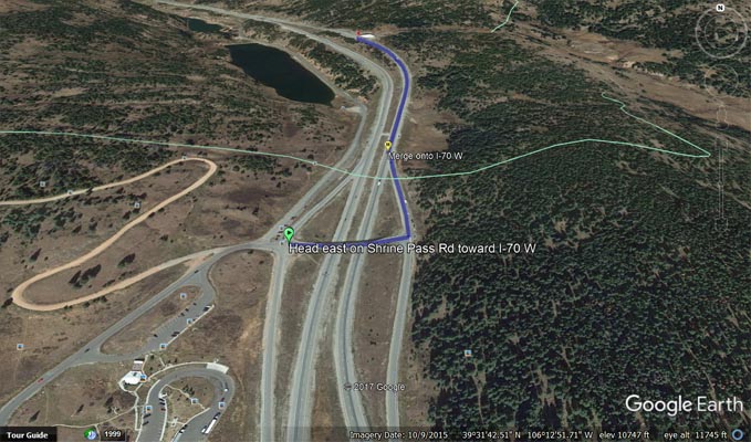
Google Maps and Google Earth show 'Vail Pass, Summit County, CO' at 39 31 45.7N 106 13 03.5W which is about 45 feet south of Shrine Pass Road.
CDOT has placed Vail Pass Summit signs on westbound I-70 at 39 32 29.3N 106 12 58.4W and eastbound I-70 at 39 32 30.8N 106 13 03.0W.
| Feature Name | ID | Class | County | State | Latitude | Longitude | Ele(ft) | Map | BGN Date | Entry Date |
| Vail Pass | 176167 | Gap | Summit | CO | 393150N | 1061302W | 10617 | Vail Pass | 01-JAN-1950 | 13-OCT-1978 |