
Victor Pass
|
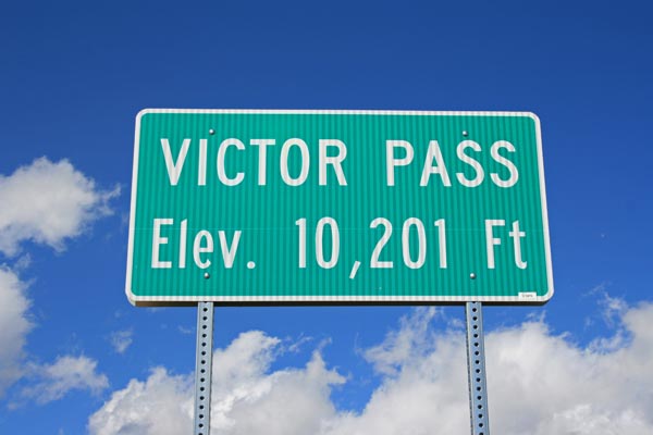
Victor Pass |
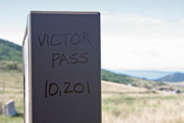
Victor Pass - Teller County - Colorado - 10,201 feet
Grassy Creek to north. Wilson Creek to south.
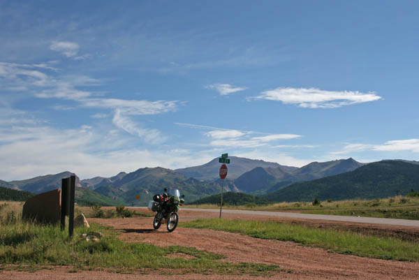
CR-81 north of Victor
paved - road bike
photos by Randy Bishop, 9/16/2017
At the summit. |

At the summit, looking north. |

At the summit, looking south. |

At the summit. |
At the summit. |
At the summit. |
At the summit. |

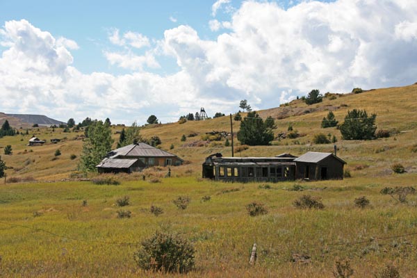
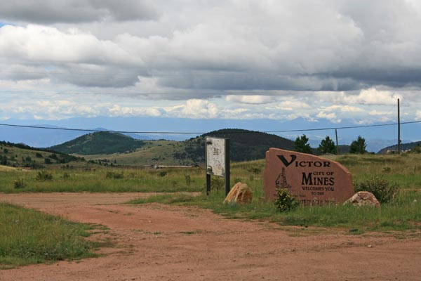
At the summit, looking south toward Goldfield and Victor. |
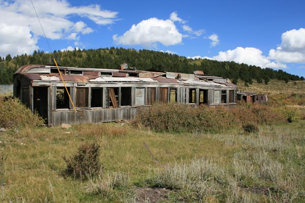
At the summit. It has weathered a lot since my first photo in 1975. |
At the summit. |
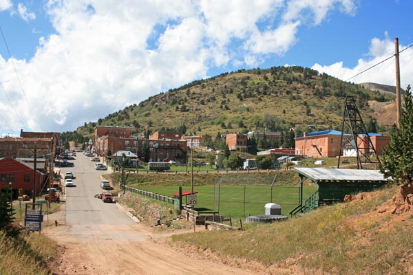
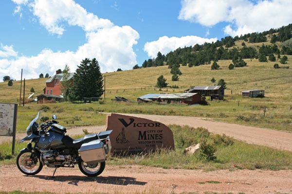
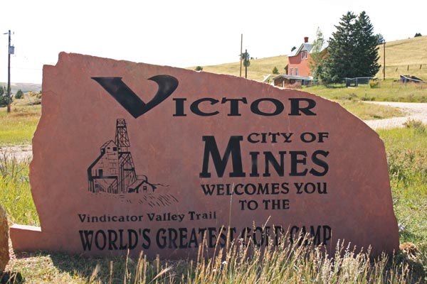
Looking west in Victor. |
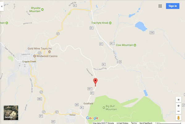
Google Maps |
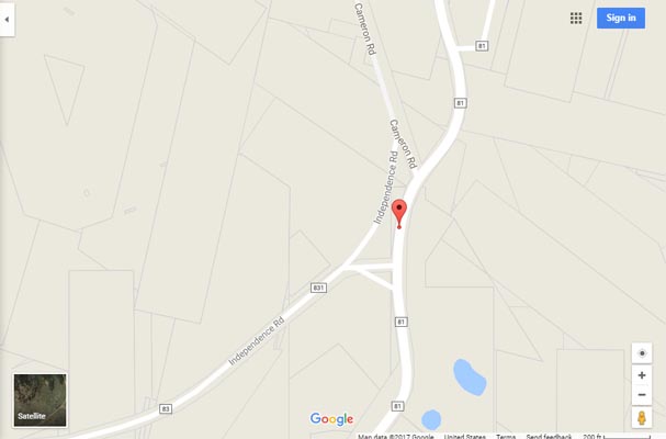
Google Maps |
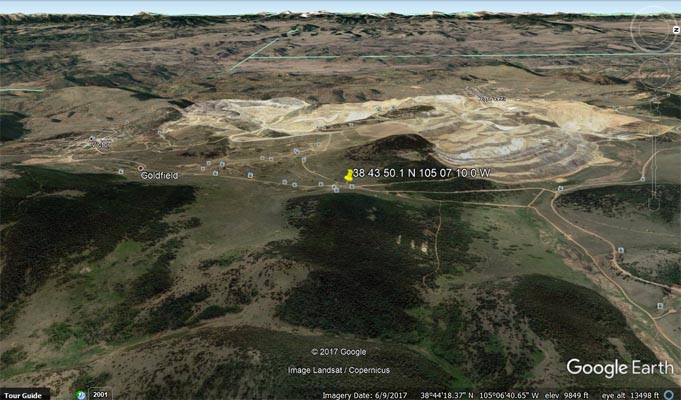
Google Earth, looking west. |

Google Earth, looking west. |
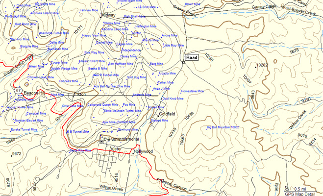
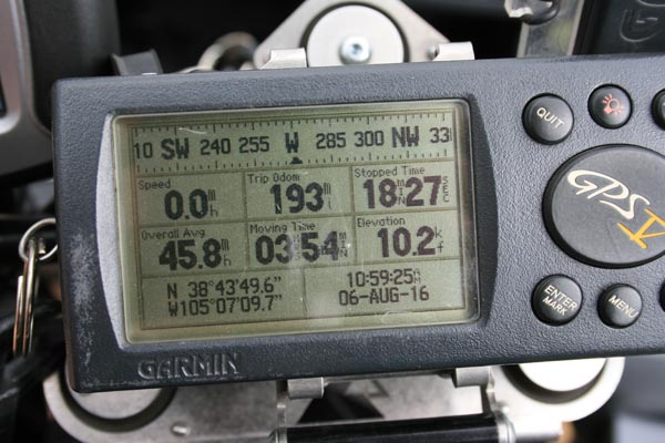
Garmin MapSource |
photos by Randy Bishop, 8/6/2016
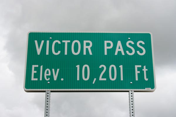
New sign at the summit. |
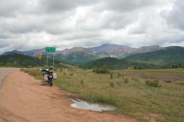
At the summit, looking north. |
At the summit, looking west. |
At the summit. |
#115 - photos by Randy Bishop, 7/25/2008

At the summit. |
At the summit. |
At the summit. |
At the summit, looking north. |

At the summit, looking south. |
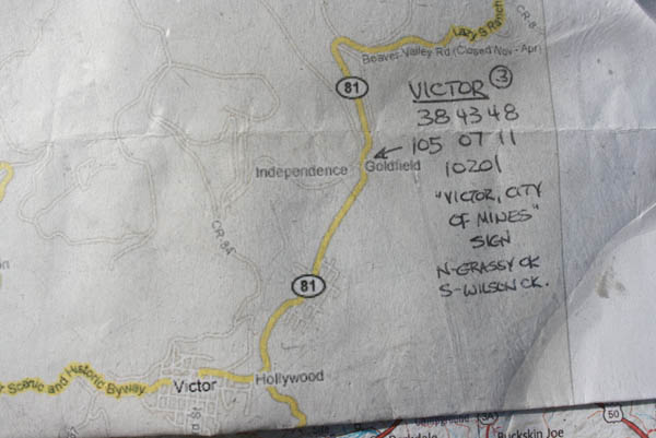
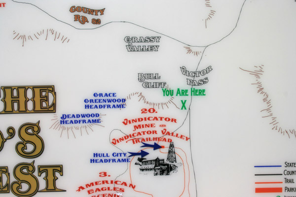
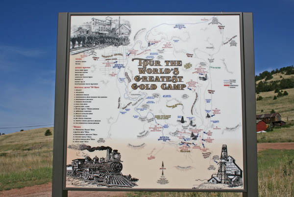
The map. |

At the summit. |
| Feature Name | ID | Class | County | State | Latitude | Longitude | Ele(ft) | Map | BGN Date | Entry Date |
| Victor | 204771 | Populated Place | Teller | CO | 384236N | 1050824W | 9708 | Cripple Creek South | - | 13-OCT-1978 |
| Victor Mine | 1724934 | Mine | Teller | CO | 384403N | 1050729W | 10577 | Big Bull Mountain | - | 06-MAR-1997 |
| East Victor Mine | 1724609 | Mine | Teller | CO | 384418N | 1050753W | 10518 | Cripple Creek South | - | 06-MAR-1997 |