
Sherman Pass
|
Sherman Pass |
Sherman Pass - Ferry County - Washington - 5,575 feet
North Fork O'Brian Creek to west. Pass Creek to east.
On WA-20 between Republic and Kettle Falls, WA.
paved - road bike
photos by Randy Bishop, 8/15/2017
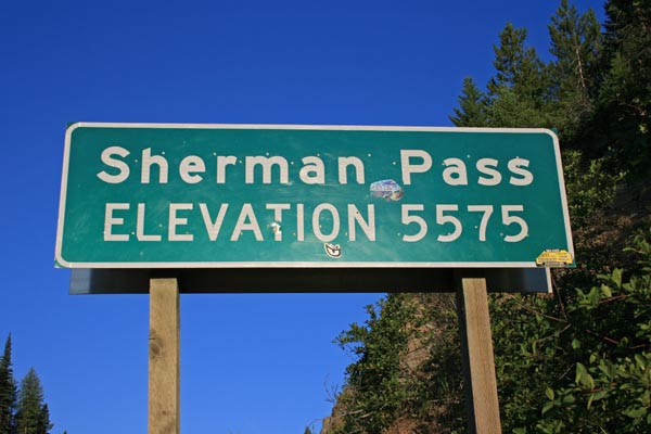
At the summit. |

At the summit, looking west. |
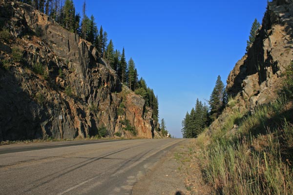
At the summit, looking west. |
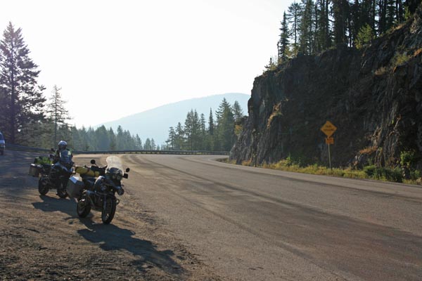
At the summit, looking east. |

At the summit. |
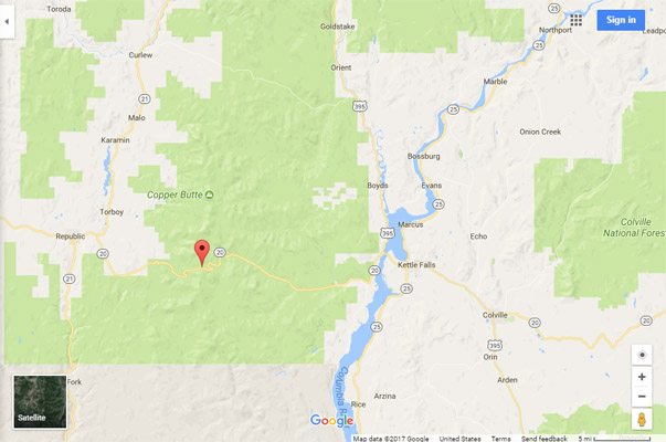
Google Maps |
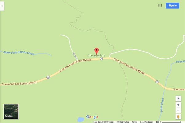
Google Maps |
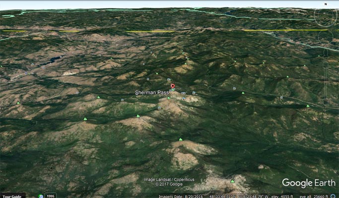
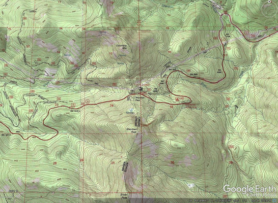
Google Earth, looking north. |
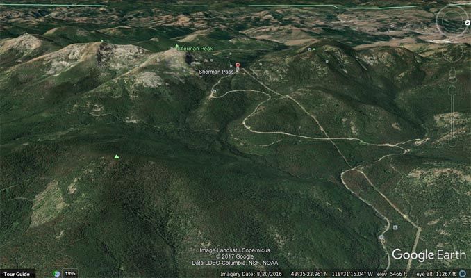
Google Earth, looking west up WA-20. |
Garmin Mapsource |
photos by Scott Westfall, 7/31/2021
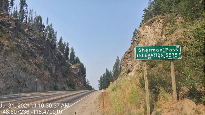
At the summit. |
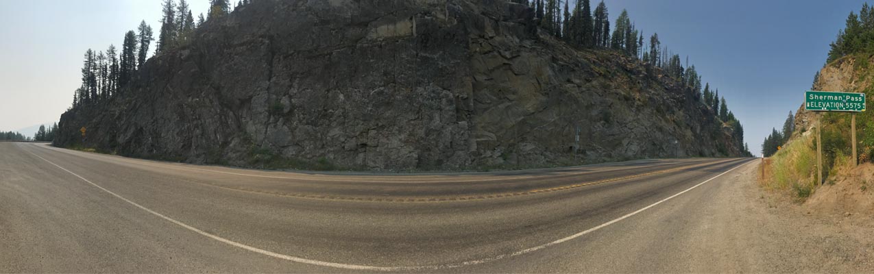
At the summit. |
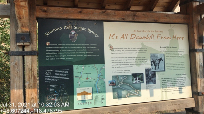
At the summit. |
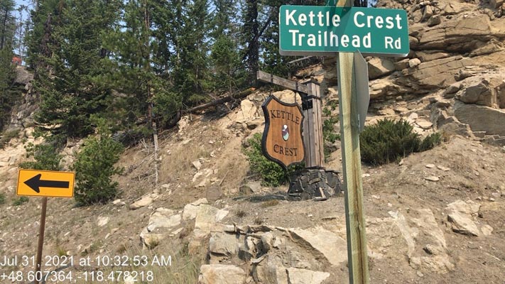
At the summit. |
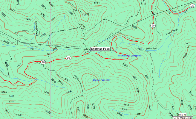
Topographic Map |
| Feature Name | ID | Class | County | State | Latitude | Longitude | Ele(ft) | Map | BGN Date | Entry Date |
| Sherman Pass | 1525674 | Gap | Ferry | WA | 483627N | 1182846W | 5541 | Sherman Peak | 01-JAN-1985 | 31-DEC-1992 |