
Wauconda Pass
|
Wauconda Pass |
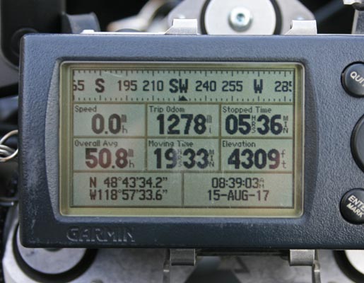
Wauconda Pass - Okanogan County - Washington - 4,310 feet
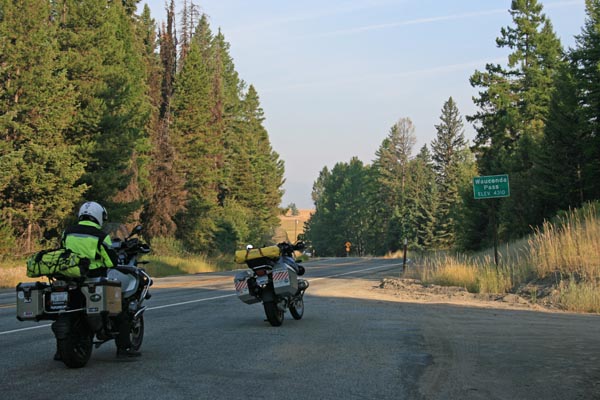
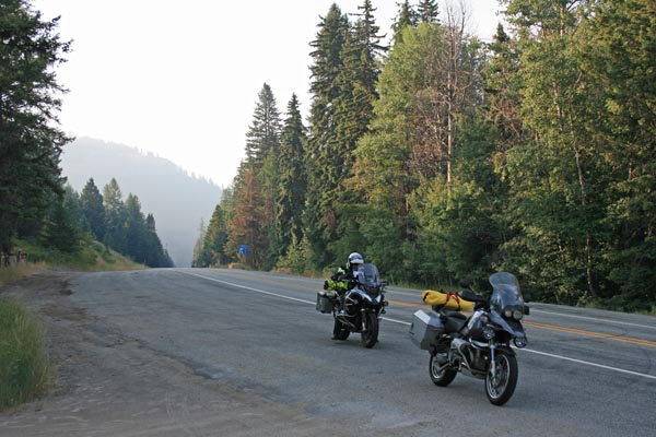
On WA-20 between Republic and Kettle Falls, WA.
paved - road bike
photos by Randy Bishop, 8/15/2017
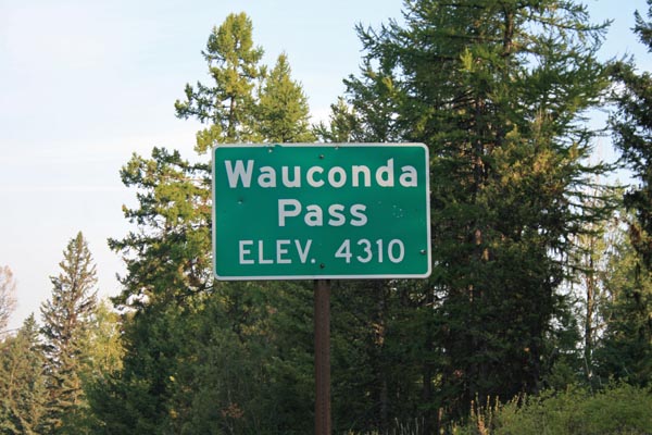
At the summit. |
At the summit, looking west. |
At the summit, looking east. |

https://rever.co display |
At the summit. |
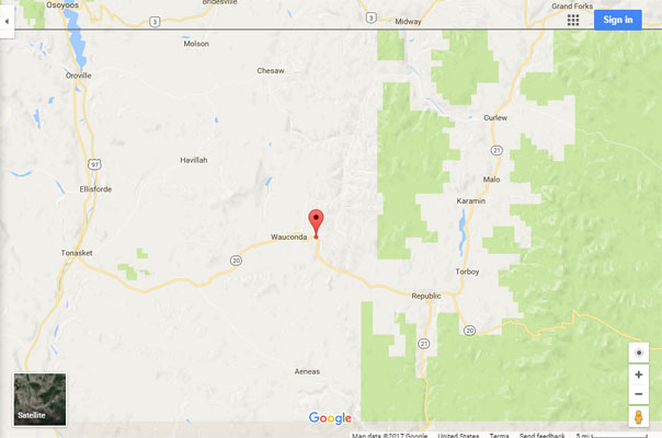
Google Maps |
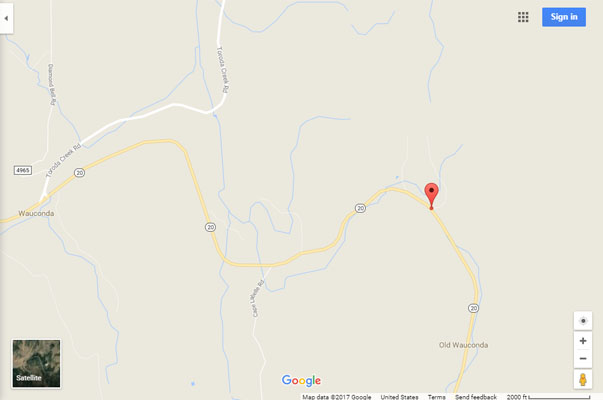
Google Maps |

Google Earth, looking north. |

Google Earth, looking west up WA-20. |
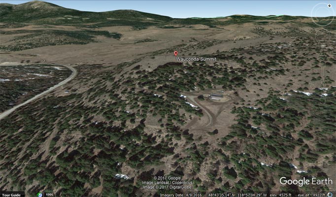
Google Earth, nearby Wauconda Summit. |
Garmin Mapsource |
photos by Scott Westfall, 7/31/2021
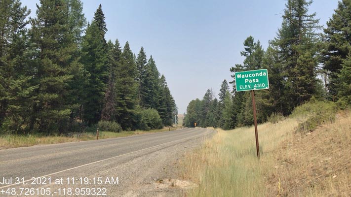
At the summit. |
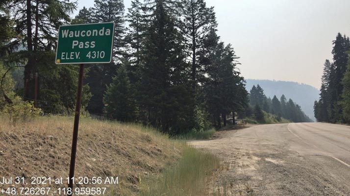
At the summit. |
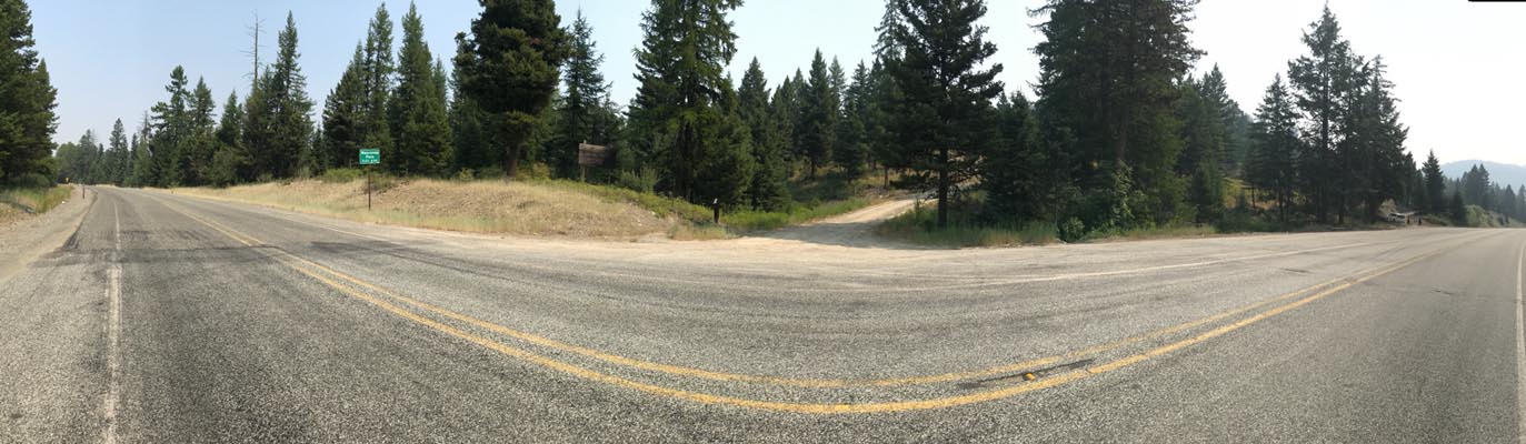
At the summit. |
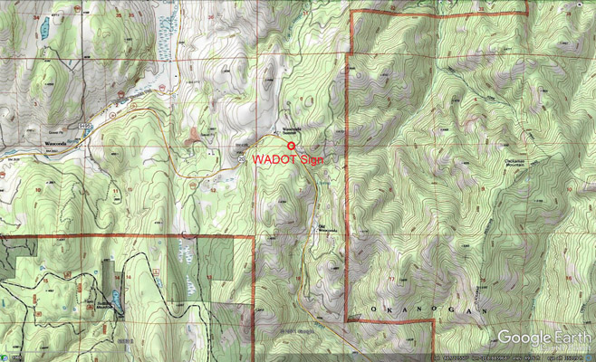
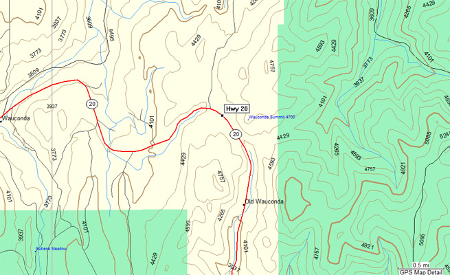
Topographic Map |
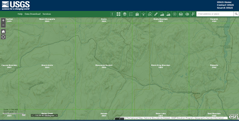
USGS Map |
| Feature Name | ID | Class | County | State | Latitude | Longitude | Ele(ft) | Map | BGN Date | Entry Date |
| Wauconda Summit | 1527857 | Summit | Okanogan | WA | 484334N | 1185713W | 4649 | Wauconda Summit | - | 10-SEP-1979 |
| Old Wauconda | 1524019 | Populated Place | Okanogan | WA | 484245N | 1185717W | 4137 | Wauconda Summit | - | 10-SEP-1979 |
| Wauconda | 1527856 | Populated Place | Okanogan | WA | 484333N | 1190049 | 3576 | Mount Annie | - | 10-SEP-1979 |