
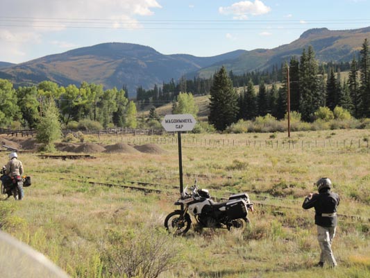
Wagon Wheel Gap
|
Wagon Wheel Gap |
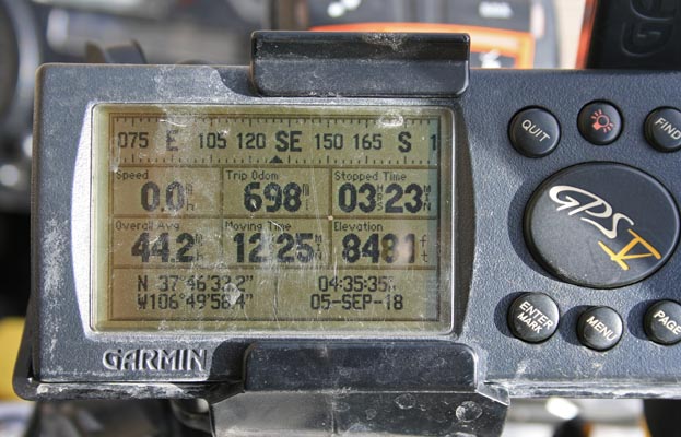
Wagon Wheel Gap - Mineral County - Colorado - 8,468 feet
Rio Grande River flows southeast through Wagon Wheel Gap.
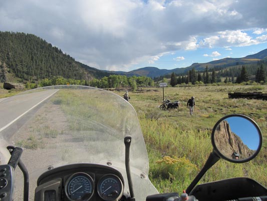
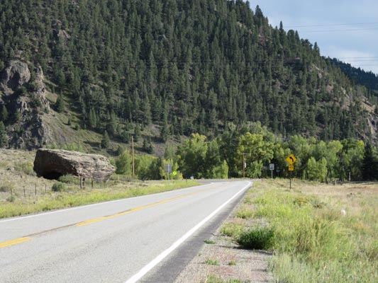
On CO-149 between Creed and South Fork
paved - road bike
#164 (gap) - photos by Randy Bishop, 9/5/2018

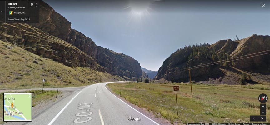
At the north end of the gap, looking south. |
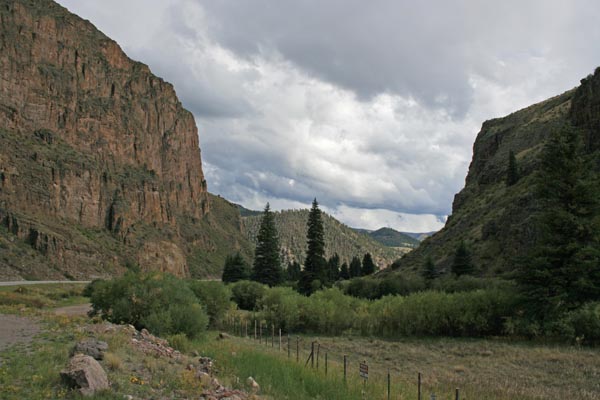
At the north end of the gap, looking south. |

At the north end of the gap, looking north. |
At the north end of the gap. |
At the north end of the gap. |
At the north end of the gap. |
Google Maps, looking southeast toward the gap. |
Google Maps, looking northwest in the gap. |
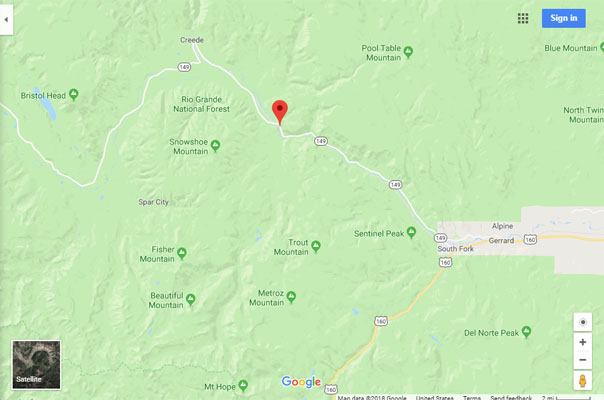
Google Maps |
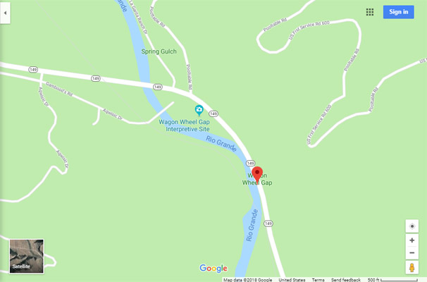
Google Maps |
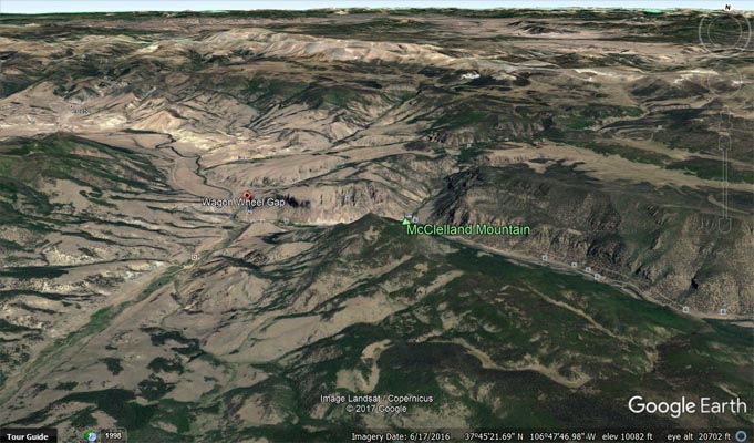
Google Earth, looking north. |
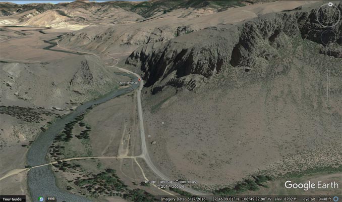
Google Earth, looking south. |
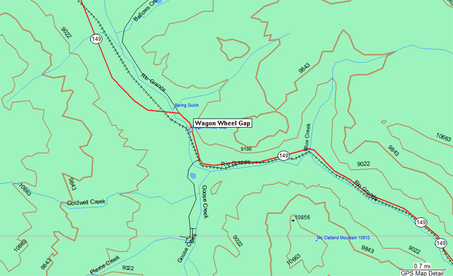
Garmin Mapsource |
photos by Karst Postma, 9/17/2012

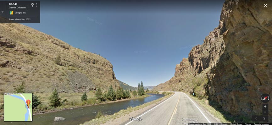
0.3 mi south of gap. |
0.3 mi south of gap, looking southeast. |
0.3 mi south of gap, looking southeast. |
0.3 mi south of gap, looking southeast. |

0.3 mi south of gap. |
| Feature Name | ID | Class | County | State | Latitude | Longitude | Ele(ft) | Map | BGN Date | Entry Date |
| Wagon Wheel Gap | 190432 | Gap | Mineral | CO | 374625N | 1064952W | 8468 | Wagon Wheel Gap | - | 13-OCT-1978 |