
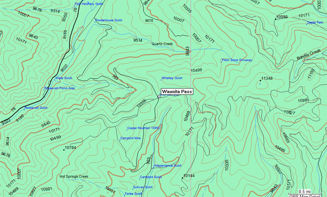
Waunita Pass
|
Waunita Pass |
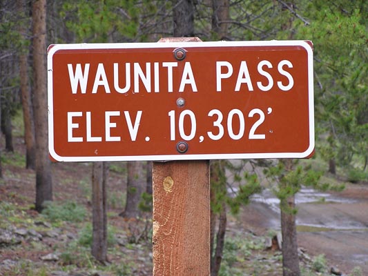
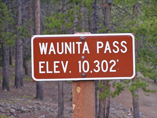
Waunita Pass - Gunnison County - Colorado - 10,302 feet
Quartz Creek to north. Hot Springs Creek to south.
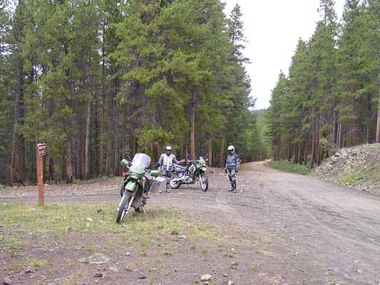
FR-763 south of Pitkin
gravel - dual sport
photos by Randy Bishop, 7/7/2007
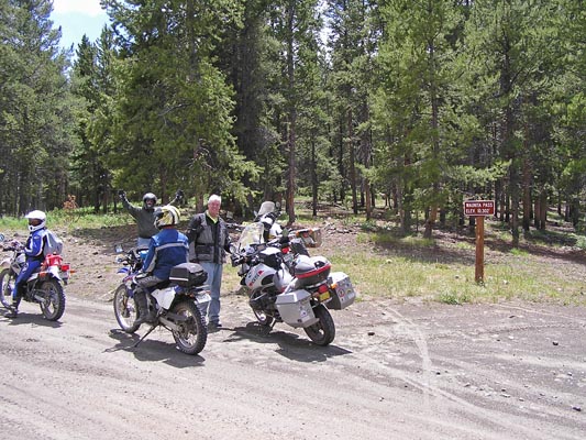
At the summit. |
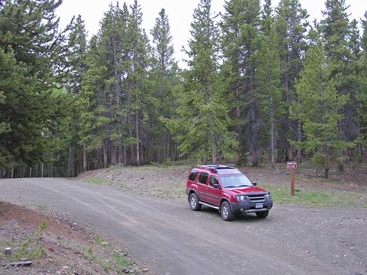
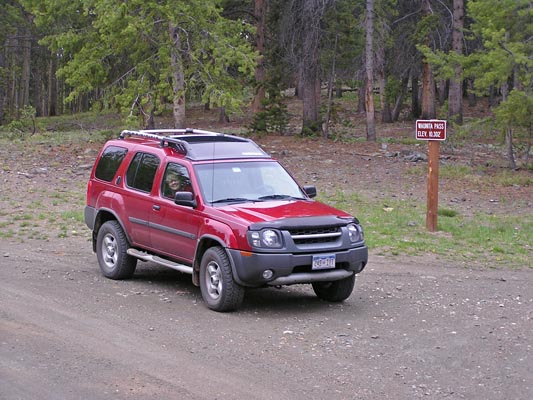
At the summit. |
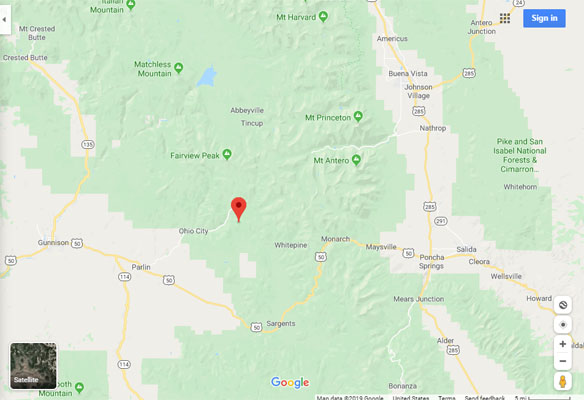
Google Maps |

Google Maps |
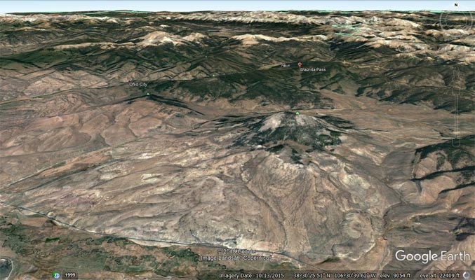
Google Earth |
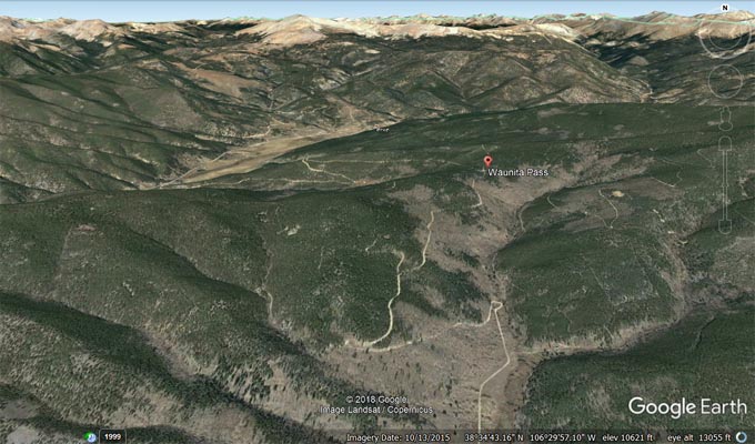
Google Earth |
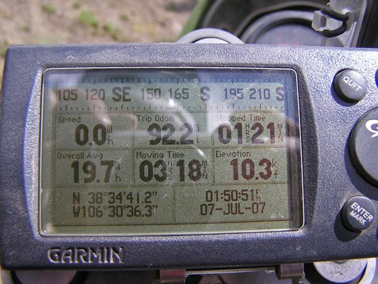
Garmin MapSource |
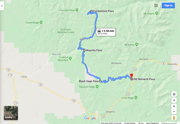
Google Maps, Cumberland to Old Monarch |
#68 - photos by Randy Bishop, 8/12/2006
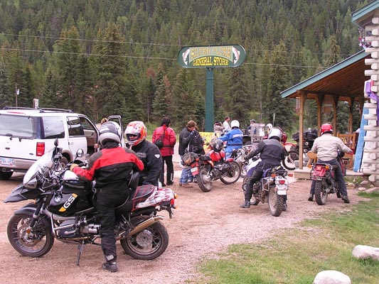
Dr. Gregory Frazier and the Big Dog Adventure Ride in Pitkin. |
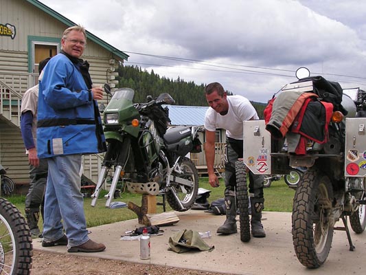
BMWMCC Dirty Dozen rider fixing a flat in Pitkin. Two 12V air compressor fills on the way, nice flat concrete surface, plenty of tools, no mosquitos, no rain... |
At the summit. |
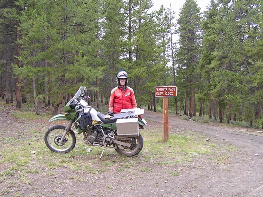
At the summit. |
At the summit. |
photos by Randy Bishop, 6/11/2005
At the summit. |
At the summit. |
At the summit. |
| Feature Name | ID | Class | County | State | Latitude | Longitude | Ele(ft) | Map | BGN Date | Entry Date |
| Waunita Pass | 189076 | Gap | Gunnison | CO | 383442N | 1063034W | 10266 | Pitkin | - | 13-OCT-1978 |