
Weston Pass
|
Weston Pass |
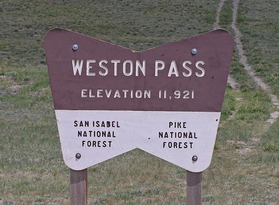
Weston Pass - Lake / Park Counties - Colorado - 11,921 feet
Big Union Creek to west. South Fork of the South Platte River to east.
CR-7 and CR-22 southwest of Fairplay
east side - gravel - road bike or dual sport
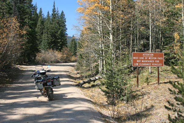
west side - rough gravel, water crossing - dual sport
photos by Randy Bishop, 10/5/2020
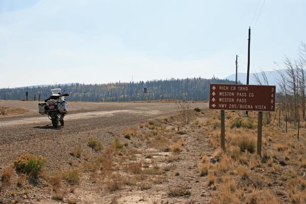
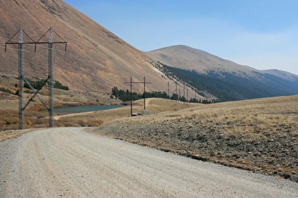
About 7 miles from US-285, and 8 miles from the summit. |
Heading northwest toward the summit. |

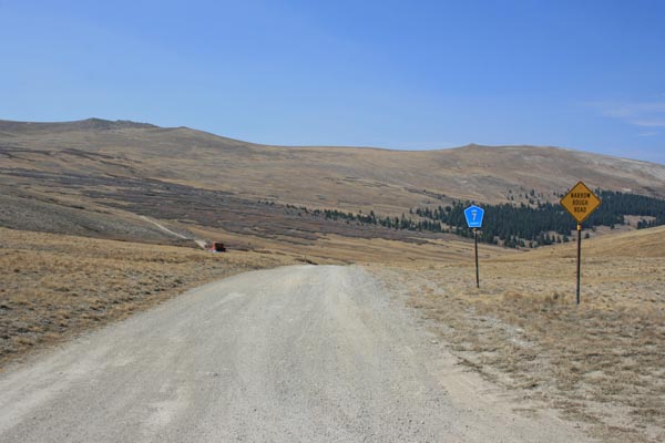
About 5 miles southeast of the summit. |
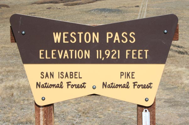
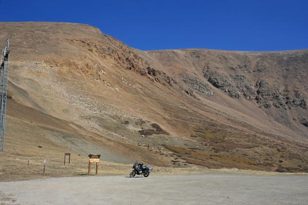
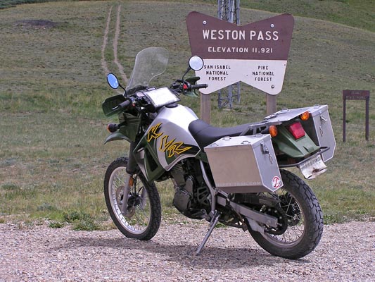
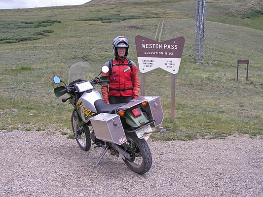
At the summit. |
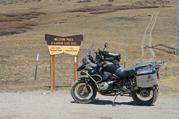
At the summit. |
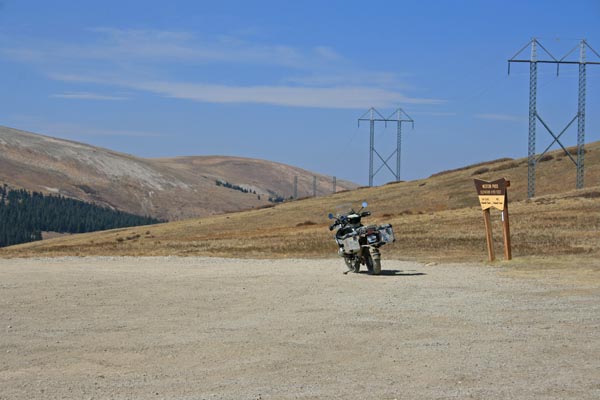
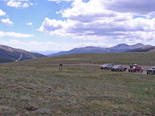
At the summit, looking north. |
At the summit, looking northwest. |
At the summit, looking northwest. |
At the summit, looking southeast. |
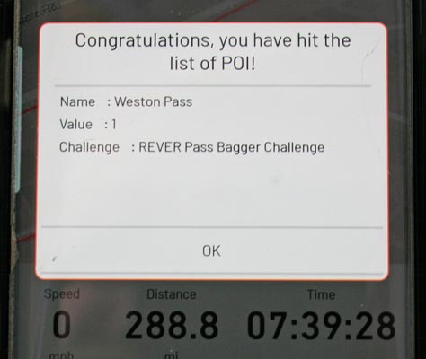
At the summit, rever.co display. |
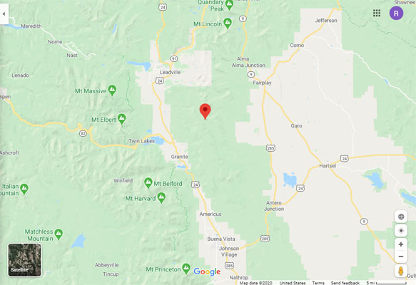
Google Maps |
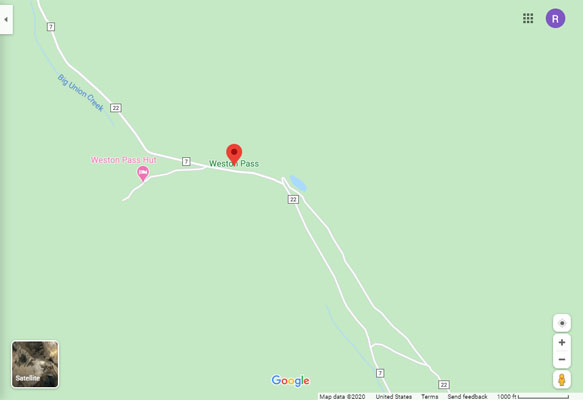
Google Maps |
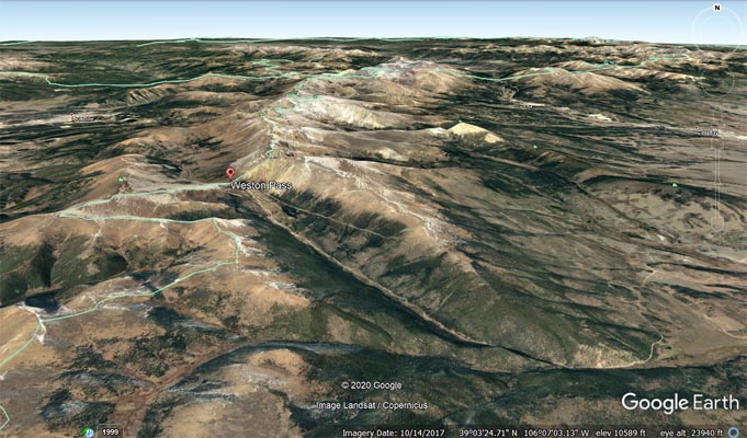
Google Earth |
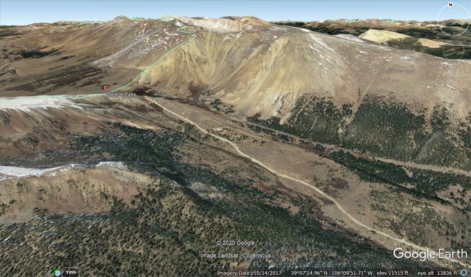
Google Earth, looking north. |
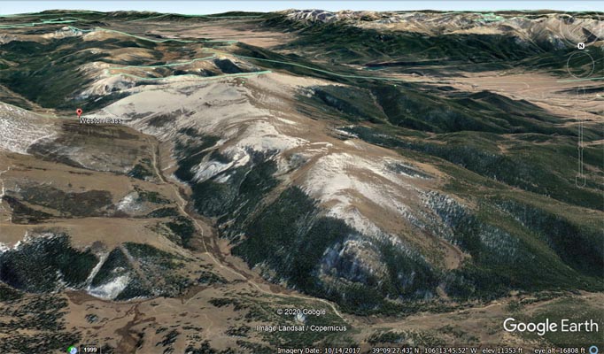
Google Earth, looking south. |
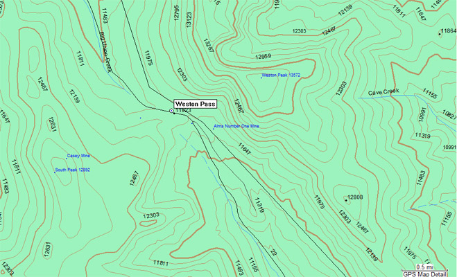
Garmin Mapsource |
#27 - photos by Randy Bishop, 08/06/2005
At the summit. |
At the summit. |
At the summit. |
At the summit, looking south. |
| Feature Name | ID | Class | County | State | Latitude | Longitude | Ele(ft) | Map | BGN Date | Entry Date |
| Weston Pass | 180216 | Gap | Lake | CO | 390753N | 1061056W | 11929 | Mount Sherman | - | 13-OCT-1978 |