
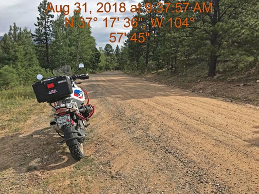
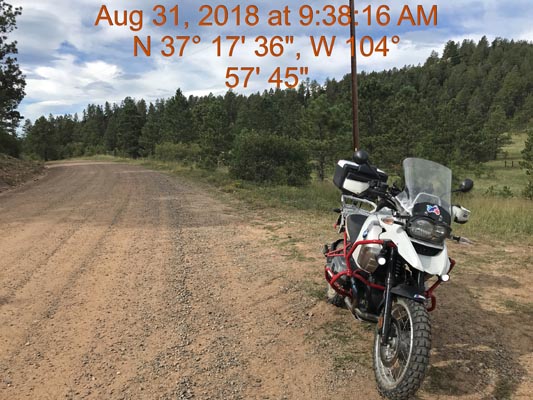
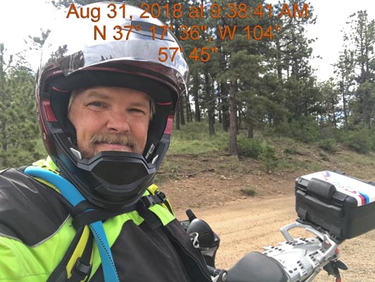
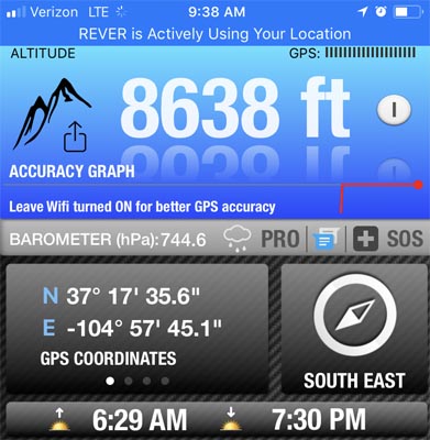
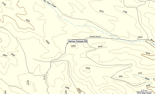
Wet Canyon Pass
|
Wet Canyon Pass |
Wet Canyon Pass - Las Animas County - Colorado - 8,651 feet
Jarosa Canyon to north. Wet Canyon to south.
South of Cordova Pass on CR-42.0 (Jarosa Canyon Road).
unpaved - dual sport
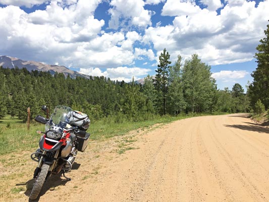
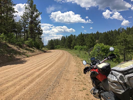
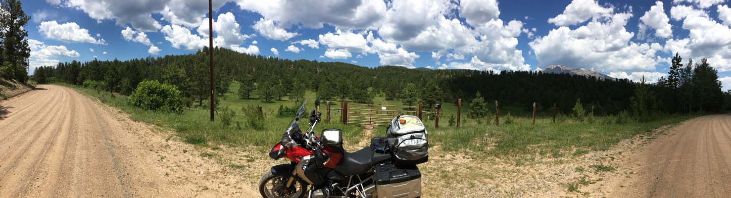
photos by Scott Westfall, 8/31/2018
At the summit. |

At the summit. |
At the summit. |
At the summit. |
At the summit. |
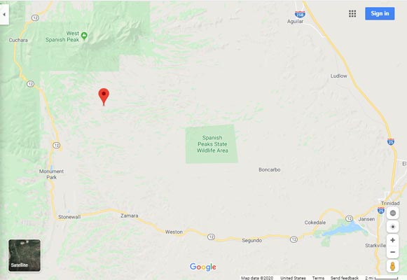
Google Maps |
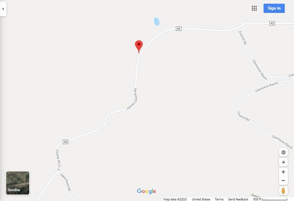
Google Maps |
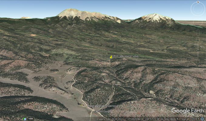
Google Earth |
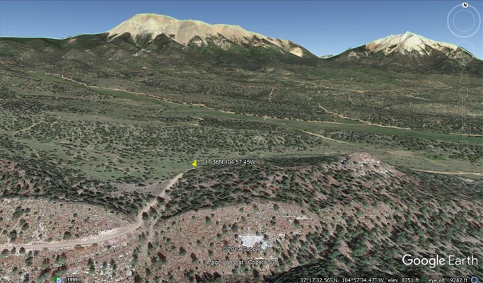
Google Earth |
Garmin Mapsource |
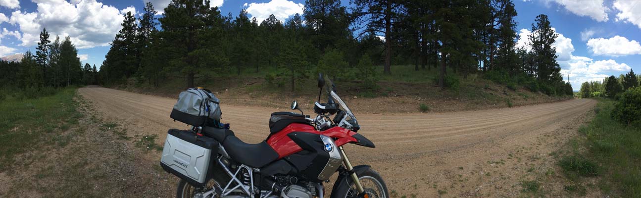
photos by John Meyer, 7/4/2017
At the summit. |
At the summit. |
At the summit. |
At the summit. |
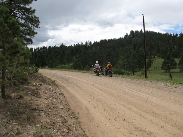
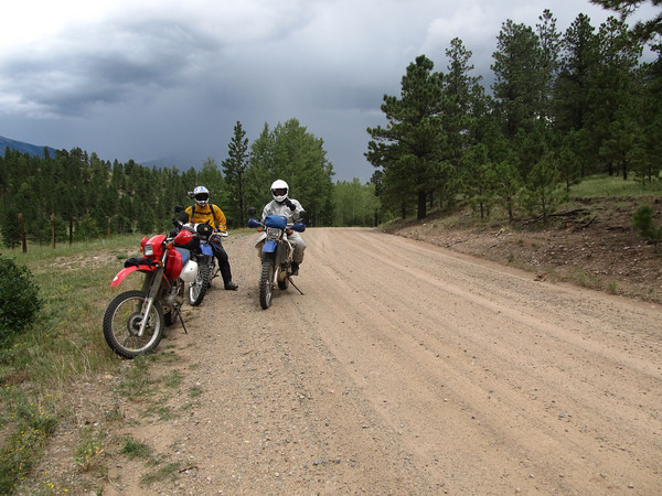
photos by Curtis Kohl, 8/2011
At the summit. |
At the summit. |
| Feature Name | ID | Class | County | State | Latitude | Longitude | Ele(ft) | Map | BGN Date | Entry Date |
| Wet Canyon | 194512 | Valley | Las Animas | CO | 370754N | 1045050W | 6844 | Weston | - | 13-OCT-1978 |
| Stonewall Fire Protection District Wet Canyon Station |
2666995 | Building | Las Animas | CO | 371332N | 10453200W | 7533 | Vigil | - | 28-DEC-2011 |
| Jarosa Canyon | 196621 | Valley | Las Animas | CO | 371809N | 1044712W | 7080 | Gulnare | 01-JAN-1897 | 01-APR-1991 |