
Windy Gap
|
Windy Gap |
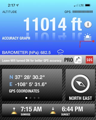
Windy Gap - Montezuma County - Colorado - 10,995 feet
Bear Creek to north. Crystal Creek to south.
northeast of Mancos
accessible on FR-561 and FR-565
dirt - dirt bike or dual sport
photos by John Meyer, 10/14/2020
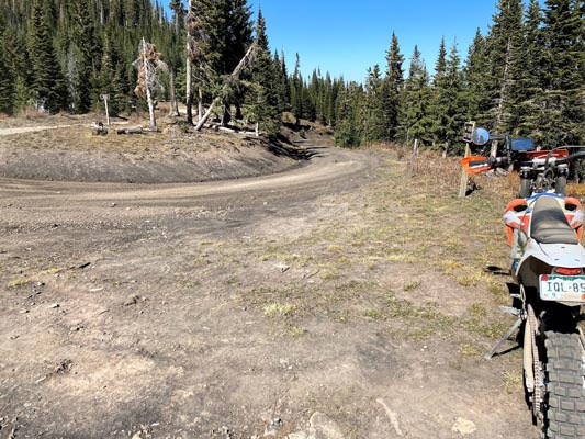
At the summit, looking NNW. |
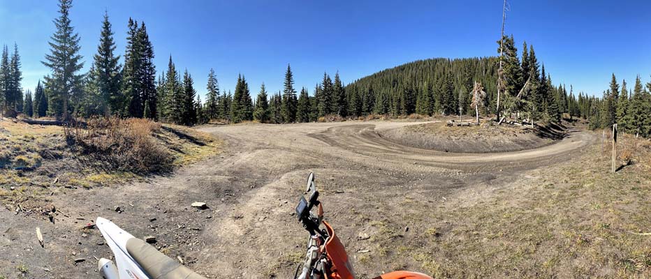
At the summit, looking north. |
At the summit, looking NNE. |
At the summit, looking NE. |
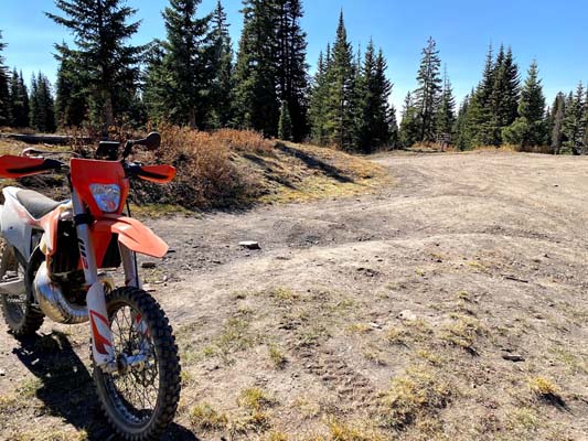
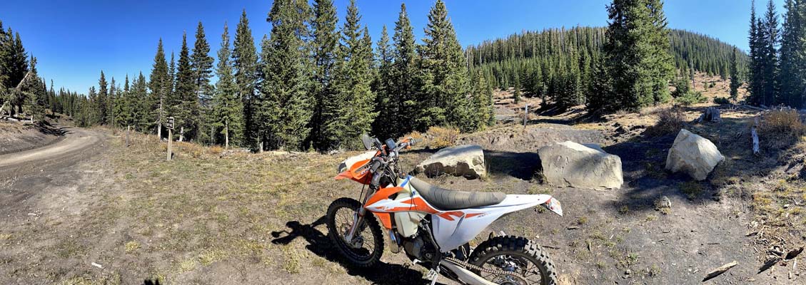
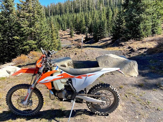
At the summit, looking south. |
At the summit. |
At the summit. |
At the summit. |
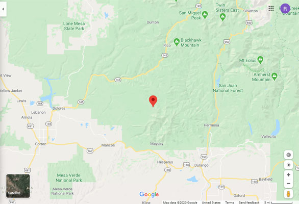
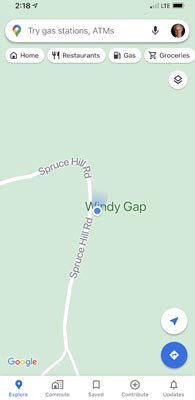
Google Maps |
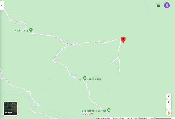
Google Maps |
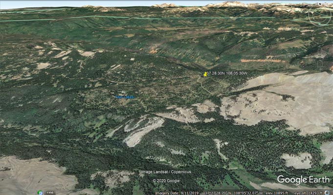
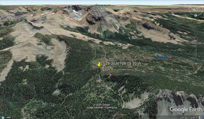
Google Earth, looking north. |
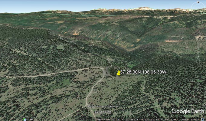
Google Earth, looking north. |
Google Earth, looking south. |
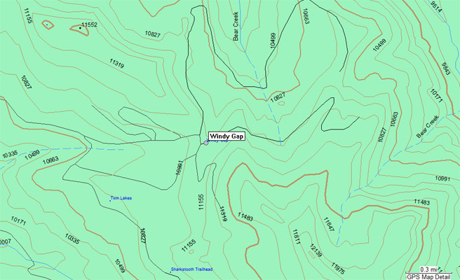
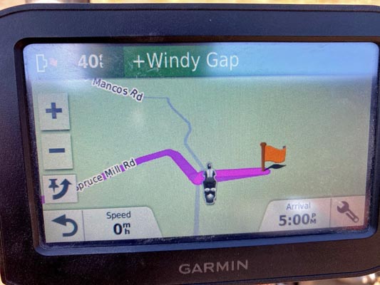
Garmin MapSource |
Notes from John: I accessed the gap from Mancos going north on 184 a short way before turning right onto road 42,
then continued past Mancos State Park where the road became 561 and continued northeast until 350 where I made
a right turn and followed east to the gap. There were beautiful aspen groves in this area and the only negatives
were the conditions were dry and the road was dusty.
photo by John Burrall
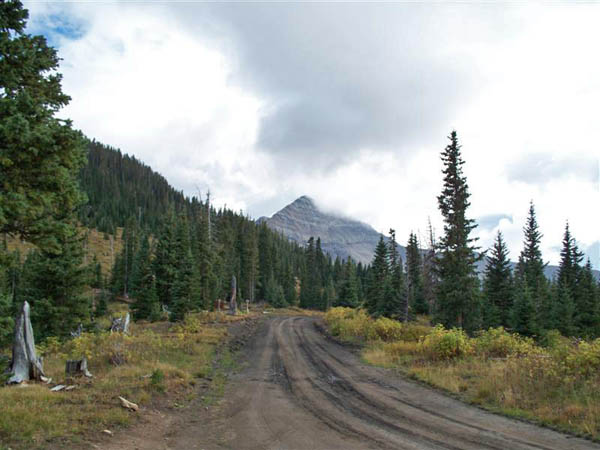
At the summit, looking south toward Hesperus Mountain. |
| Feature Name | ID | Class | County | State | Latitude | Longitude | Ele(ft) | Map | BGN Date | Entry Date |
| Windy Gap | 178928 | Gap | Montezuma | CO | 372830N | 1080530W | 11004 | La Plata | - | 13-OCT-1978 |