
Windy Point Pass
|
Windy Point Pass |
Windy Point Pass - Montrose County - Colorado - 9,450 feet
Campbell Creek to west. North Fork of Tabeguache Creek to east.
FR-600 north of Nucla on the Uncompahgre Plateau, just southeast of Windy Point.
gravel - dual sport
#40 - photos by Randy Bishop, 06/12/2006
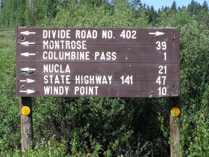
10 miles east of the summit. |
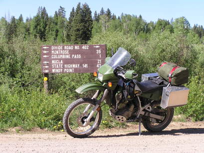
10 miles east of the summit. |
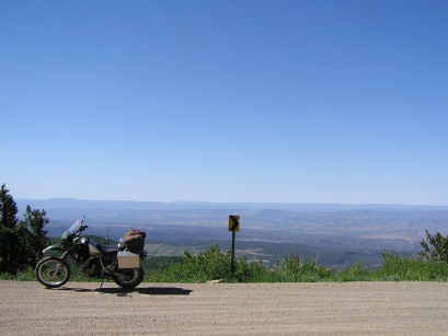
At the summit, looking south. |
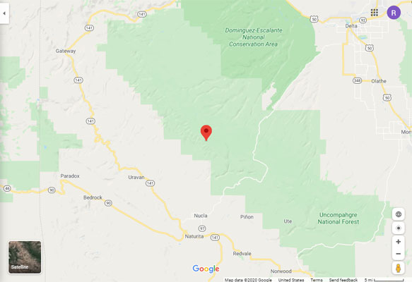
Google Maps |
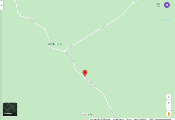
Google Maps |
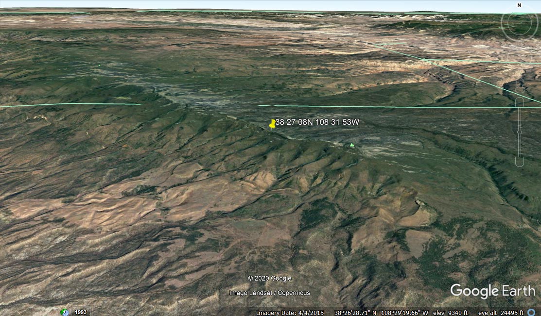
Google Earth |
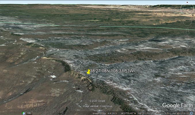
Google Earth |
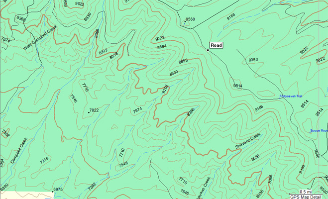
Garmin MapSource |
| Feature Name | ID | Class | County | State | Latitude | Longitude | Ele(ft) | Map | BGN Date | Entry Date |
| Windy Point | 185757 | Cliff | Montrose | CO | 382729N | 1083218W | 9564 | Windy Point | - | 13-OCT-1978 |
| Campbell Creek | 185755 | Stream | Montrose | CO | 382136 | 1083949 | 5318 | Uravan | - | 13-OCT-1978 |
| Tabeguache Creek | 185780 | Stream | Montrose | CO | 382126 | 1084242 | 5010 | Uravan | - | 13-OCT-1978 |
Note, both Campbell Creek and North Fork of Tabeguache Creek begin on the southwestern escarpment of
the Uncompahgre Plateau. Campbell Creek flows on the north side of Wild Cow Mesa and Pinon Mountain and
the Tabeguache River is on the south side. They flow to the west, meet, and then flow into the San Miguel
River south of of Uravan on CO-141. Windy Point Pass is on the edge of the Uncompahgre Plateau on the
divide between the watersheds of those two rivers.