
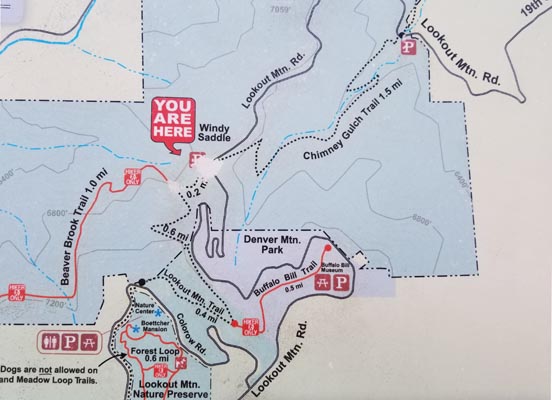
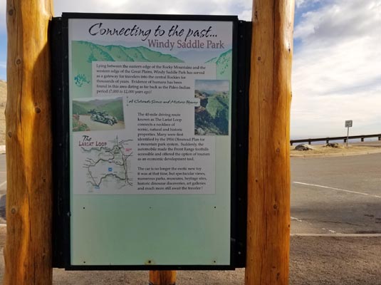
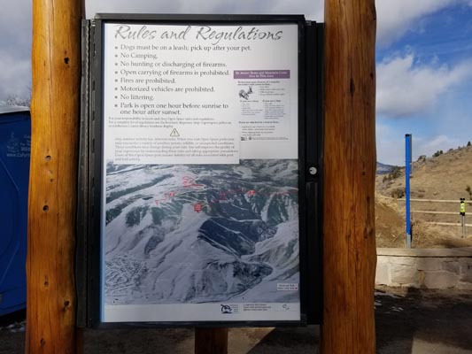
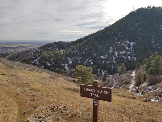
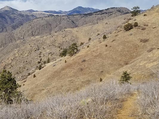
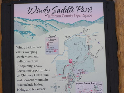
Windy Saddle
|
Windy Saddle |
Windy Saddle - Jefferson County - Colorado - 6,900 feet
Clear Creek to west. Chimney Gulch to east.
CR-68 (Lookout Mountain Road / Lariat Loop Road) west of Golden.
pavement - road bike
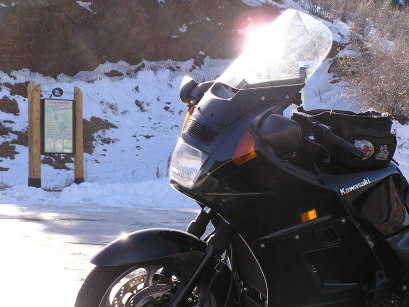
photos by Randy Bishop, 2/15/2018
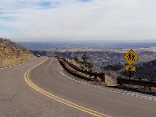
At the summit, looking down Lookout Mtn Road. |
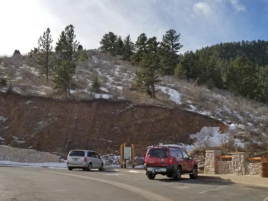
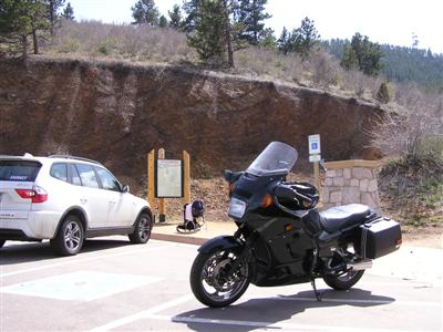
At the summit. |
At the summit. |
At the summit. |
At the summit. |

At the summit. |
At the summit. |
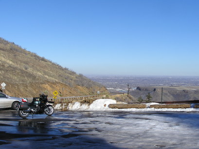
At the summit, looking east down Chimney Gulch. |
At the summit, looking west down the Clear Creek drainage. |
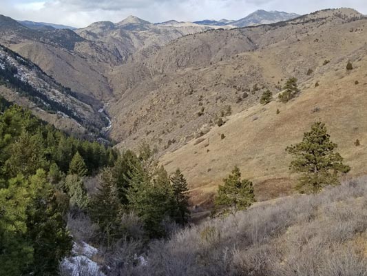
At the summit, looking west down the Clear Creek drainage. |
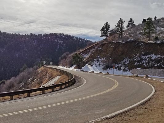
At the summit, looking up Lookout Mtn Road. |
At the summit. |
photos by Randy Bishop, 04/22/2007
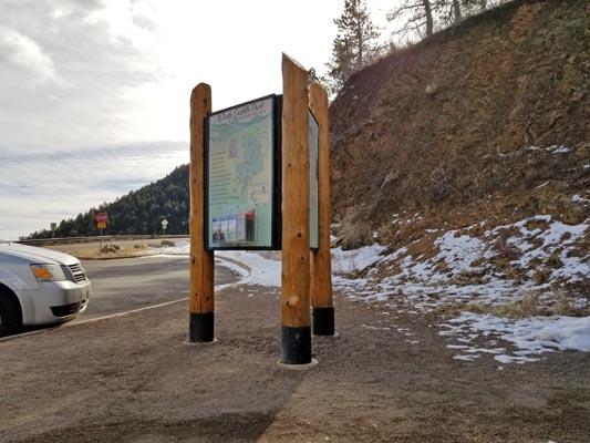
At the summit. |
At the summit. |
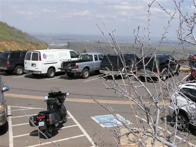
At the summit, looking east. |

At the summit. |
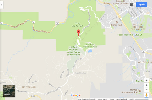
Google Maps |
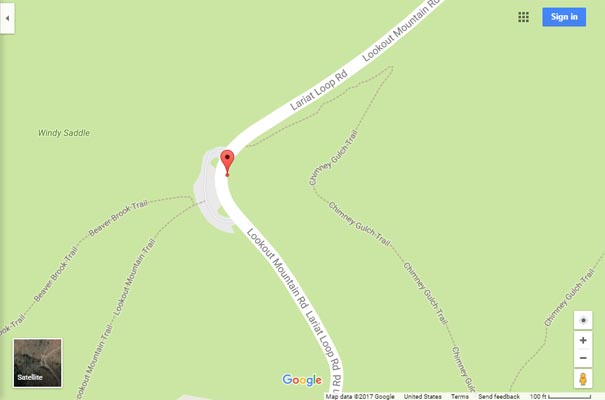
Google Maps |
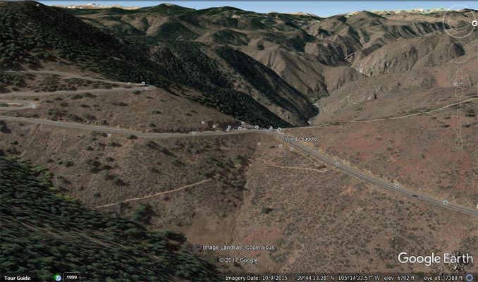
Google Earth, looking west. |
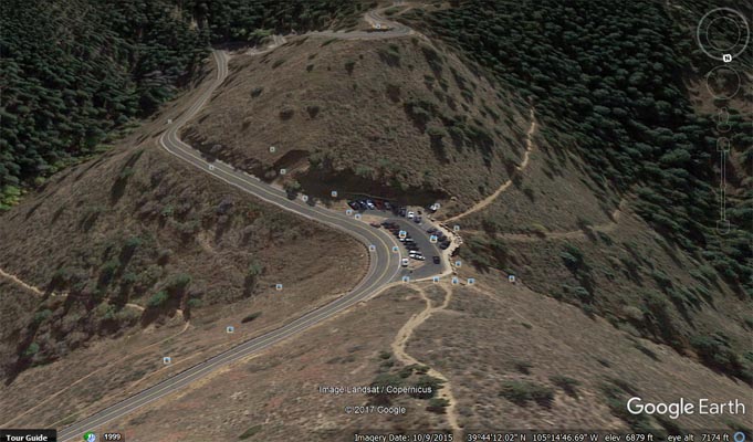
Google Earth, looking south. |
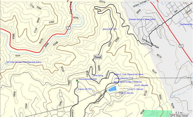
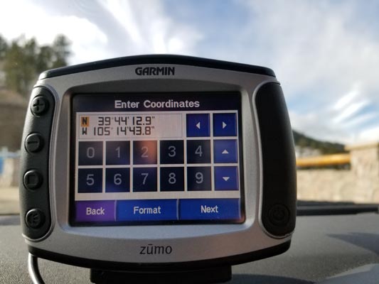
Garmin Mapsource |
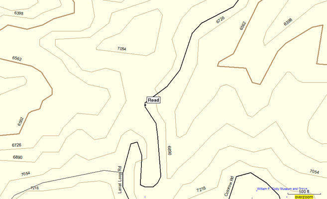
Garmin Mapsource |
#74 - photos by Randy Bishop, 12/10/2006
At the summit. |
At the summit. |
At the summit, looking east. |
| Feature Name | ID | Class | County | State | Latitude | Longitude | Ele(ft) | Map | BGN Date | Entry Date |
| Windy Saddle | 2088882 | Gap | Jefferson | CO | 394414N | 1051448W | 6772 | Morrison | - | 30-MAY-2006 |