
Wixson Divide
|
Wixson Divide |
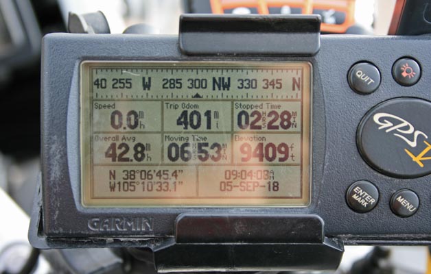
Wixson Divide - Custer County - Colorado - 9,379 feet
South Fork of Hardscrabble Creek to north. South Hardscrabble Creek to south.
CO-165 northwest of Colorado City
pavement - road bike
photos by Randy Bishop, 9/5/2018
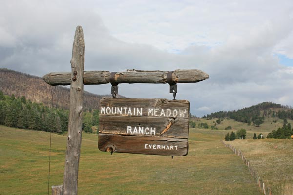
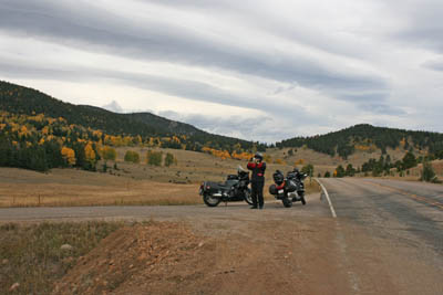
At the summit. |

At the summit looking south. |
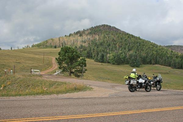
At the summit looking west. |
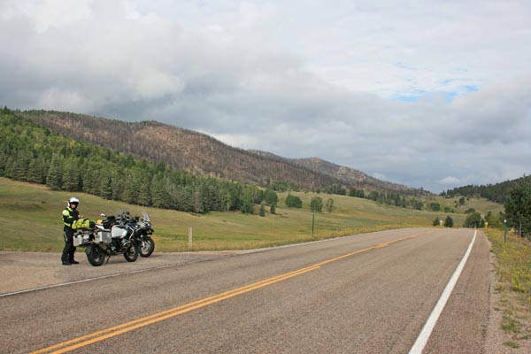
At the summit looking north. |
At the summit. |
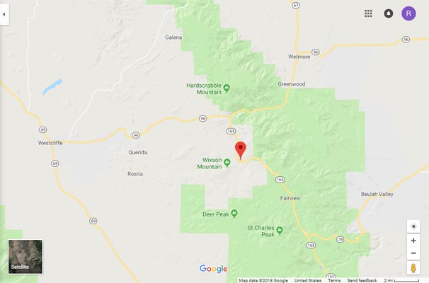
Google Maps |
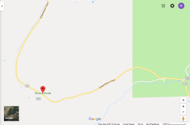
Google Maps |
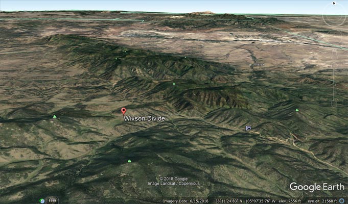
Google Earth |
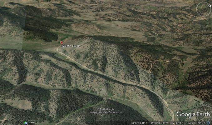
Google Earth |
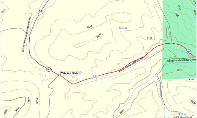
Garmin Mapsource |
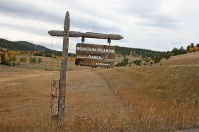
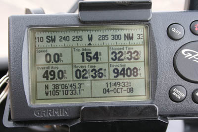
#126 - photos by Randy Bishop, 10/4/2008

At the summit looking south. |
At the summit, looking north. |
At the summit. |
At the summit. |
| Feature Name | ID | Class | County | State | Latitude | Longitude | Ele(ft) | Map | BGN Date | Entry Date |
| Wixson Divide | 192336 | Gap | Custer | CO | 380645N | 1051032W | 9393 | Deer Peak | - | 13-OCT-1978 |