
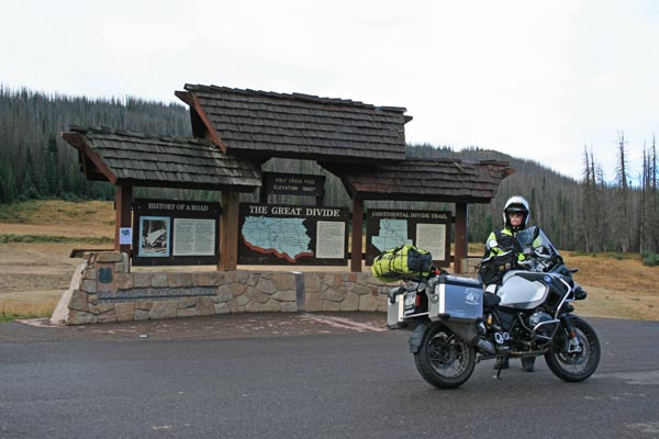
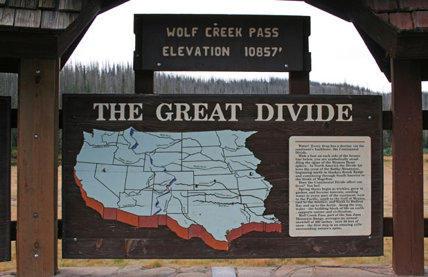
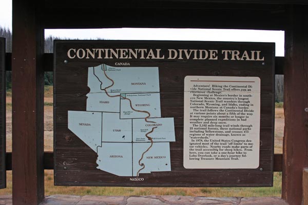
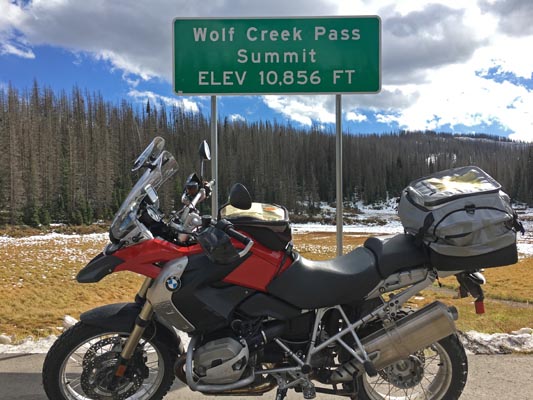
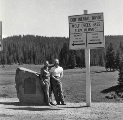
Wolf Creek Pass
|
Wolf Creek Pass |
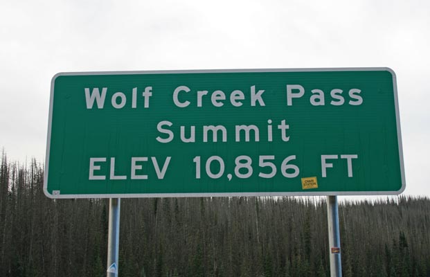
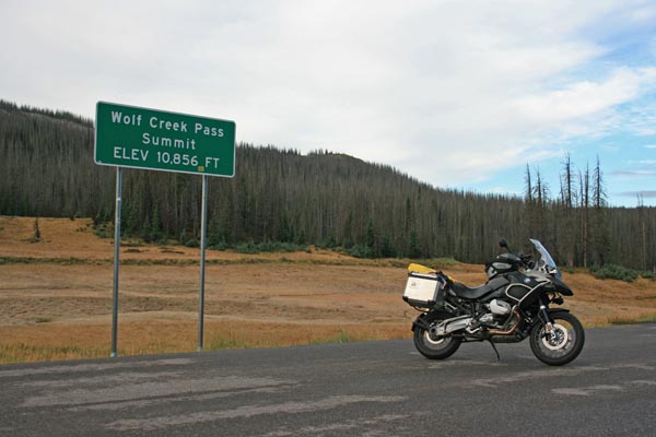
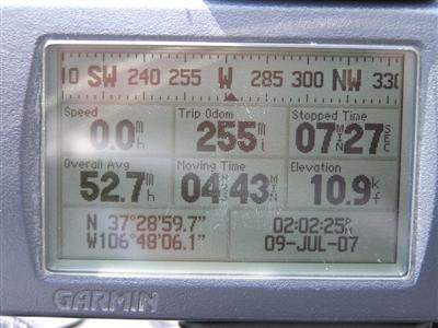
Wolf Creek Pass - Mineral County - Colorado - 10,850 feet - On the Continental Divide
Wolf Creek to west. Pass Creek to east.
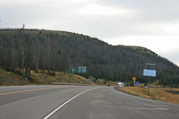
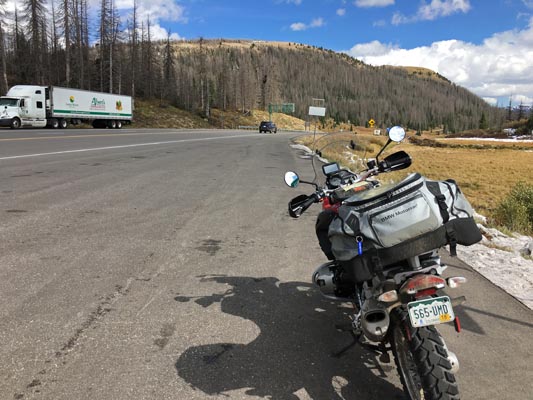
US-160 east of Pagosa Springs
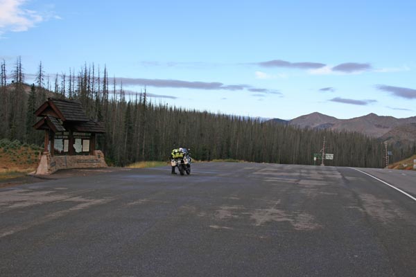
pavement - road bike
photos by Randy Bishop, 9/6/2018
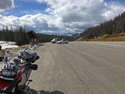
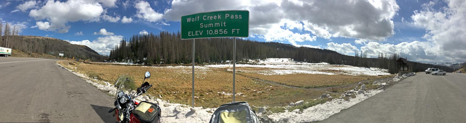
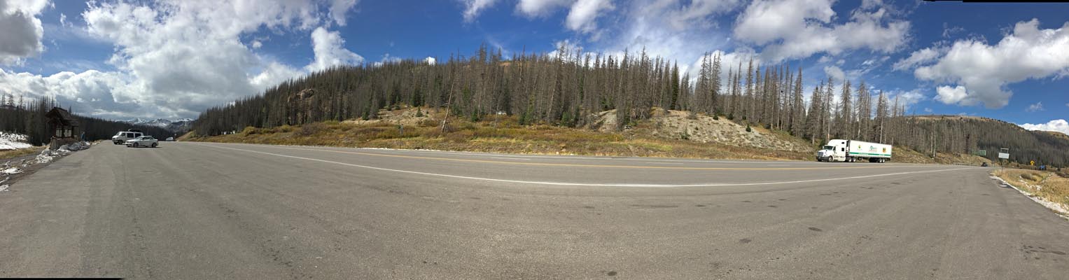
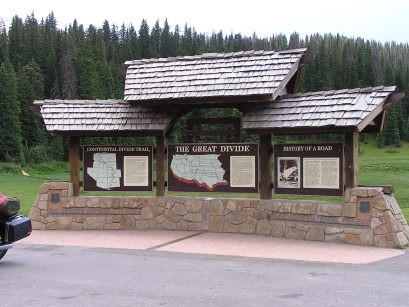
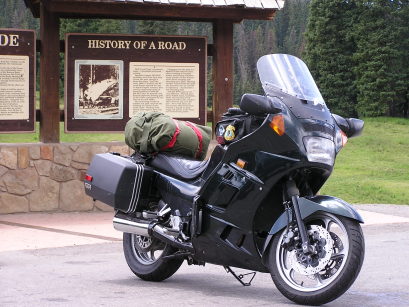
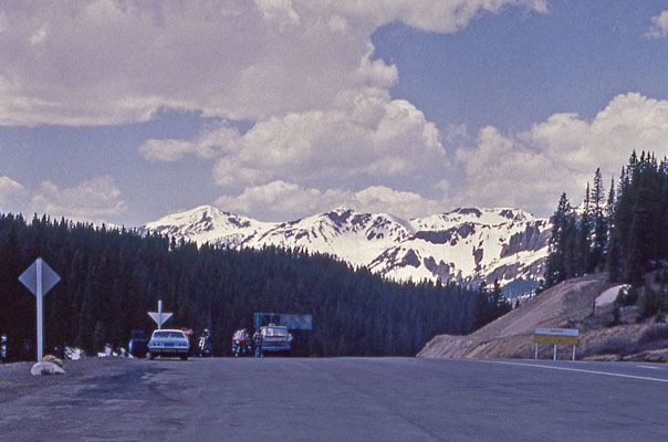
At the summit. |
At the summit. |
At the summit, looking east. |
At the summit, looking west. |
At the summit. |
At the summit. |
At the summit. |
At the summit. |
At the summit. |
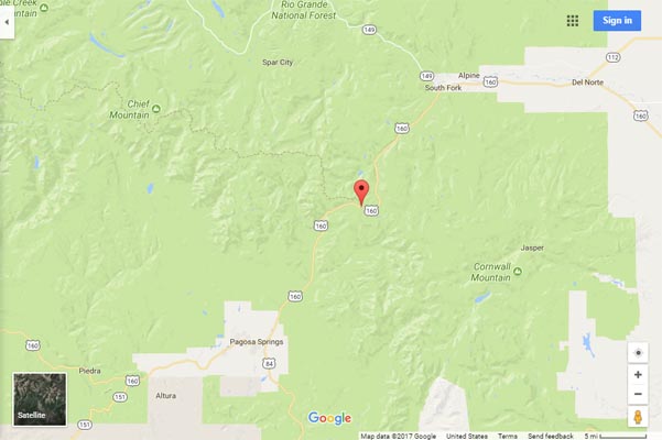
Google Maps. |

Google Maps. |
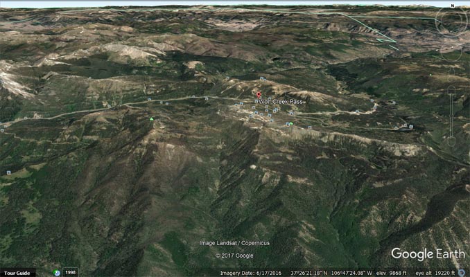
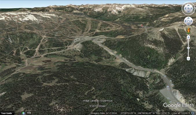
Google Earth, looking north. |
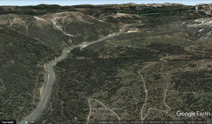
Google Earth, looking east. |
Google Earth, looking west. |
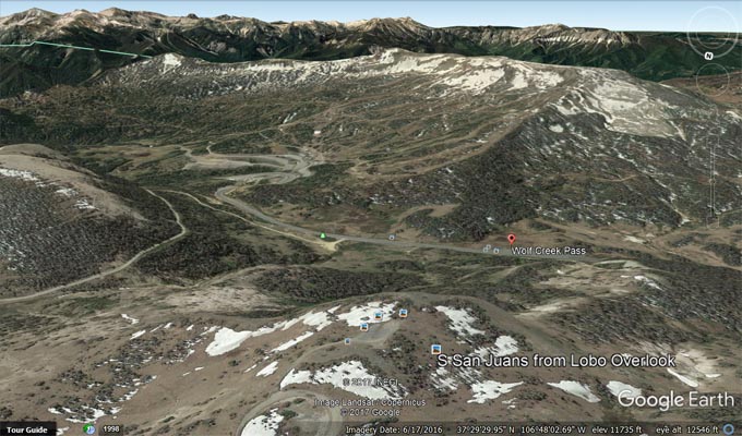
Google Earth, looking south from Lobo Overlook. |
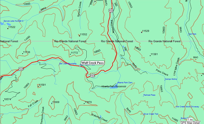
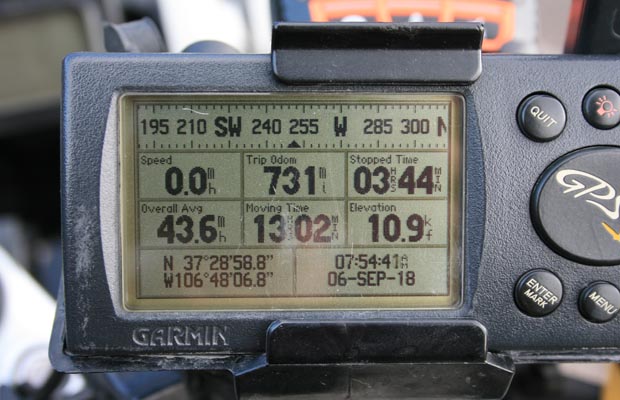
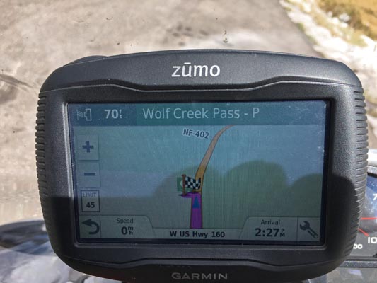
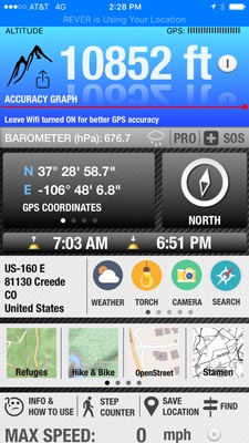
Garmin Mapsource |
photos by John Meyer, 10/01/2017
At the summit. |
At the summit, looking east. |
At the summit, looking west. |
At the summit. |
At the summit. |
At the summit, looking south. |
At the summit, looking north. |
#45 - photos by Randy Bishop, 07/15/2006
At the summit. |
At the summit. |

At the summit, looking west. |
At the summit. |
photos by Randy Bishop, 5/31/1978
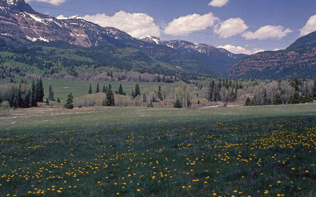
Along US-160, looking east toward summit. |
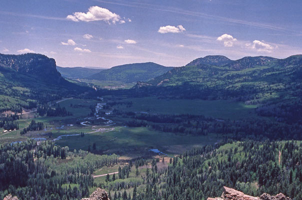
Along US-160, looking west from west side of summit. |
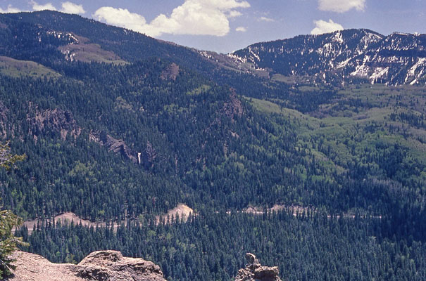
Along US-160, looking south from west side of summit. |
At the summit. |
At the summit. |
At the summit, looking west. |
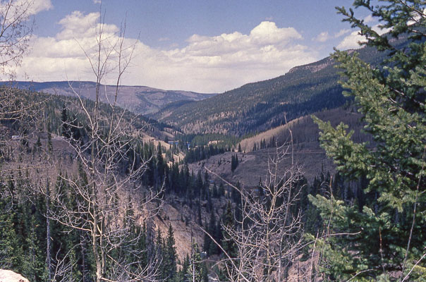
Along US-160, east of summit, looking east. |
photos taken about 1955, from coloradotopia.com
At the summit. |
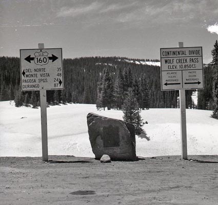
At the summit. |
At the summit. |
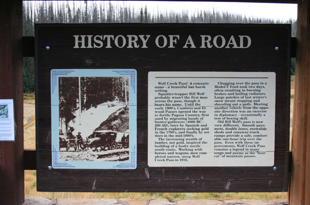
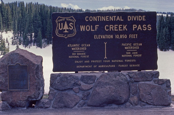
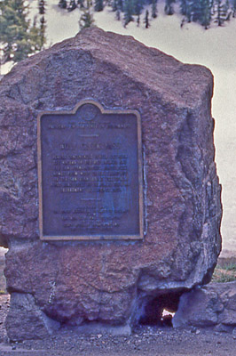
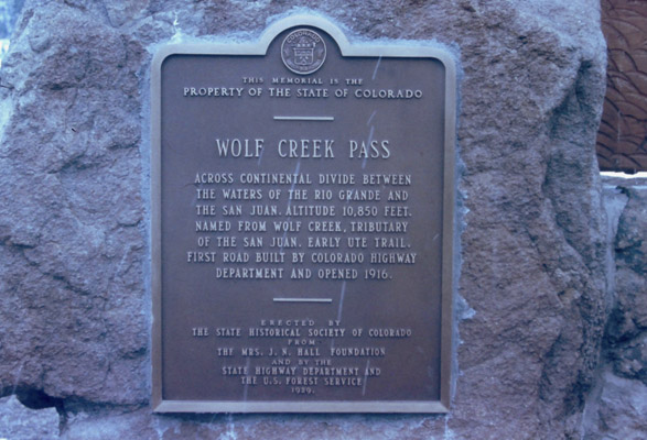
The 1929-vintage
History Colorado (State Historical Society of Colorado) marker reads:
This memorial is the property of the State of Colorado. Wolf Creek Pass. Across Continental Divide
between the waters of the Rio Grande and the San Juan. Altitude 10,850 feet. Named for Wolf Creek,
tributary of the San Juan. Early Ute trail. First road built by Colorado highway department and opened
in 1916. Erected by the State Historical Society of Colorado from the Mrs. J. N. Hall Foundation and by
the State Highway Department and the U.S. Forest Service. 1929.
From United States Board on Geographic Names:
Feature Name
ID
Class
County
State
Latitude
Longitude
Ele(ft)
Map
BGN Date
Entry Date
Wolf Creek Pass
190982
Gap
Mineral
CO
372857N
1064756W
10823
Wolf Creek Pass
-
13-OCT-1978