
Snowy Range Pass
|
Snowy Range Pass |
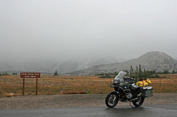
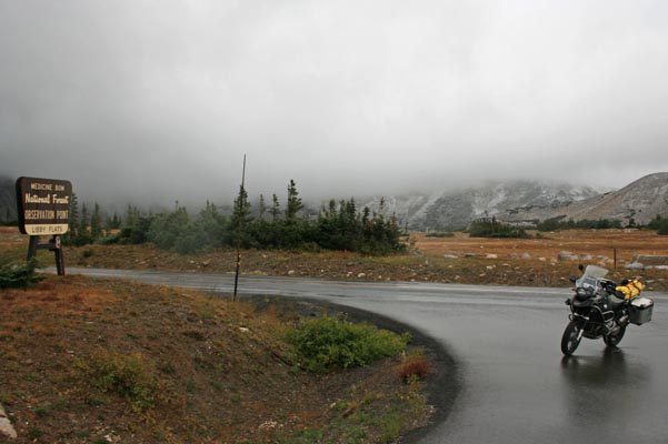
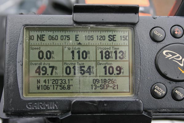
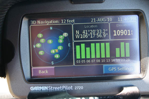
Snowy Range Pass - Albany County - Wyoming - 10,847 feet
WY-130 west of Laramie and southeast of Saratoga, Wyoming
pavement - road bike

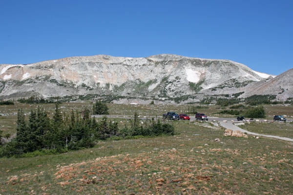
At the summit. |
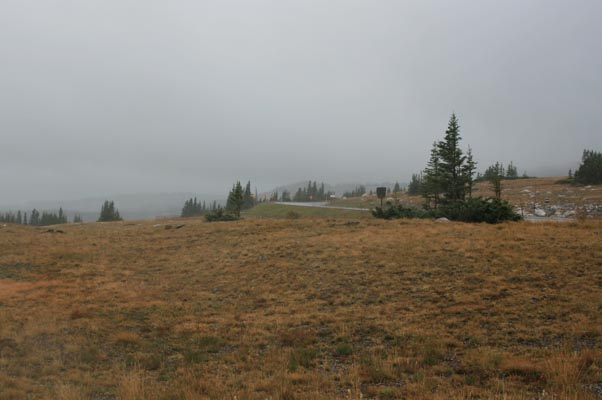
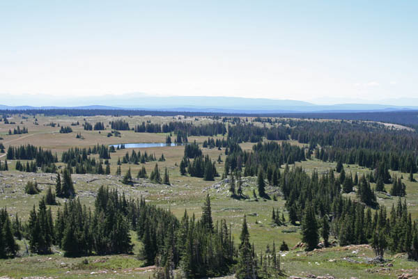
At the summit, looking north. |
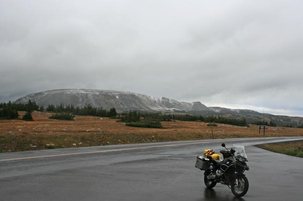
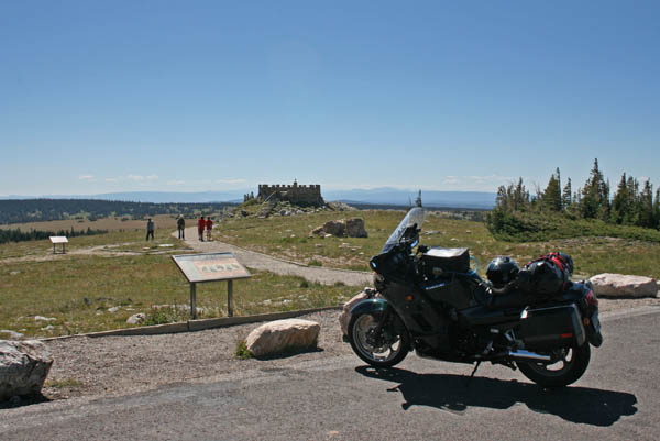
At the summit, looking west. |
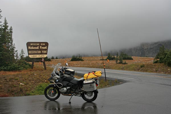
At the summit, looking west. |
At the summit, looking west. |
At the summit, looking north. |
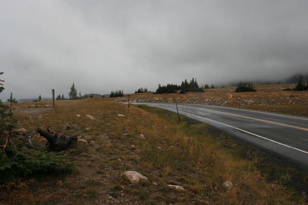
At the summit, looking east. |
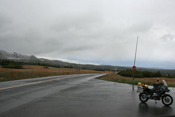
At the summit, looking east. |
At the summit. |
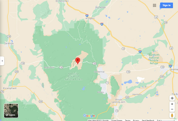
Google Maps |
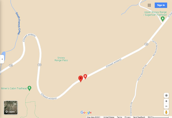
Google Maps |
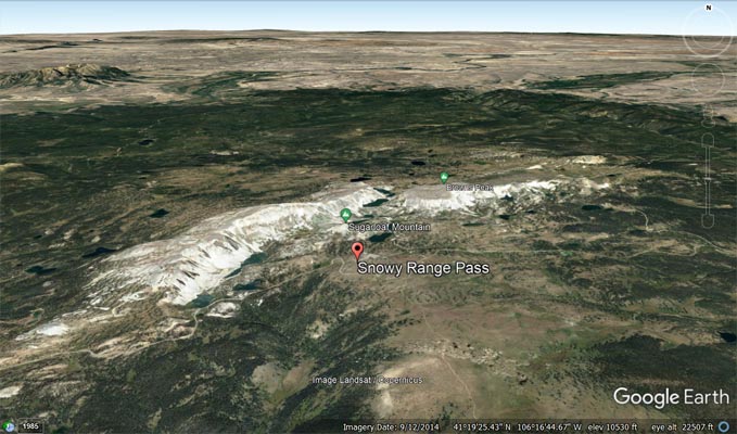
Google Earth |
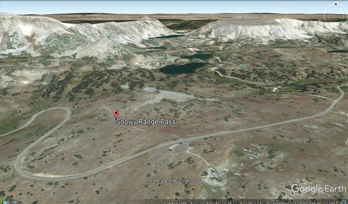
Google Earth |
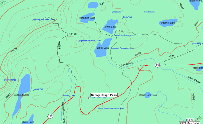
Garmin MapSource |
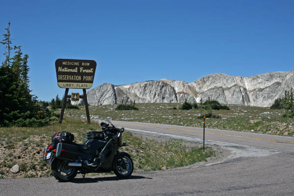
At the summit. |
At the summit. |
Looking south. |
Looking north. |
At the summit. |
| Feature Name | ID | Class | County | State | Latitude | Longitude | Ele(ft) | Map | BGN Date | Entry Date |
| Snowy Range Pass | 1594526 | Gap | Albany | WY | 412039N | 1061807W | 10876 | Medicine Bow Peak | - | 05-JUN-1979 |
| Snowy Range | 1604460 | Range | Albany | WY | 412241N | 1061624W | 11420 | Sand Lake | 05-JUN-1979 | 06-MAR-2020 |
| Libby Flats | 1590675 | Lake | Albany | WY | 411927N | 1061726W | 10649 | Medicine Bow Peak | 05-JUN-1979 | 25-DEC-2018 |
| Libby Flats Observation Shed | 16050245 | Locale | Albany | WY | 412003N | 1061758W | 10843 | Medicine Bow Peak | - | 01-OCT-1992 |