
Yellowjacket Pass
|
Yellowjacket Pass |
Yellowjacket Pass - Archuleta County - Colorado - 7,780 feet
Hayden Creek to west. Squaw Creek to east.
US-160 west of Pagosa Springs
pavement - road bike
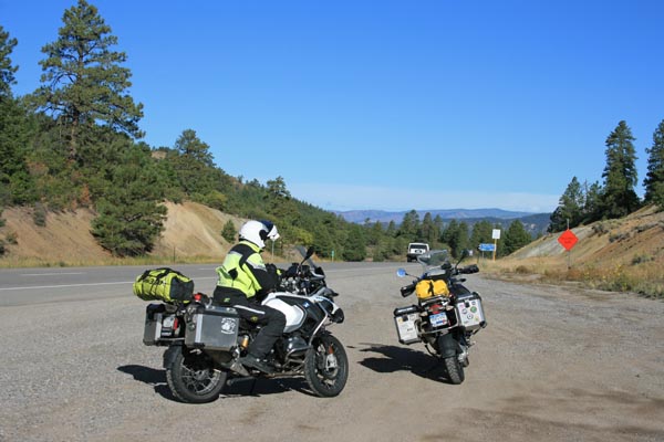
photos by Randy Bishop, 9/6/2018
At the summit, looking west. |
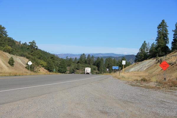
At the summit, looking west. |
At the summit, looking east. |
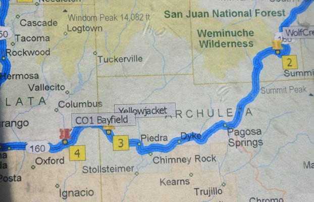
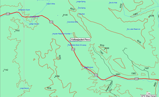
A map. |
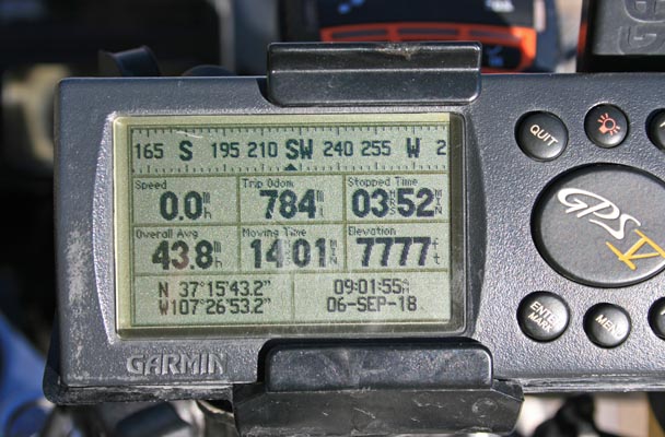
At the summit. |
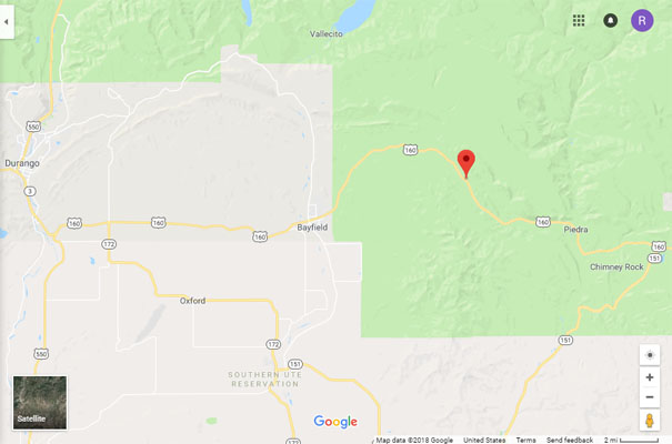
Google Maps |
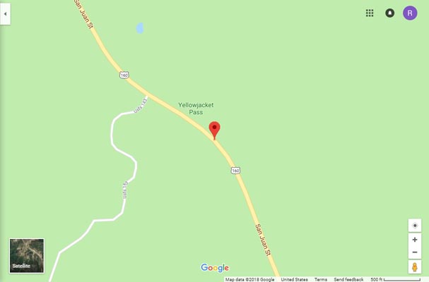
Google Maps |
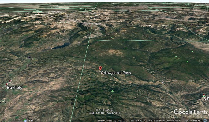
Google Earth |
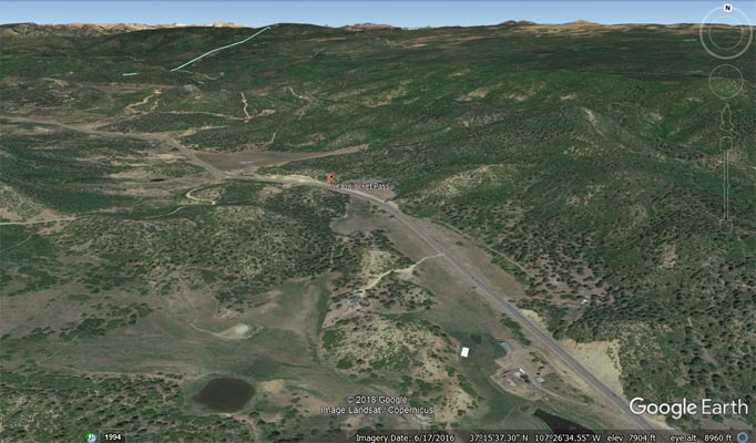
Google Earth |
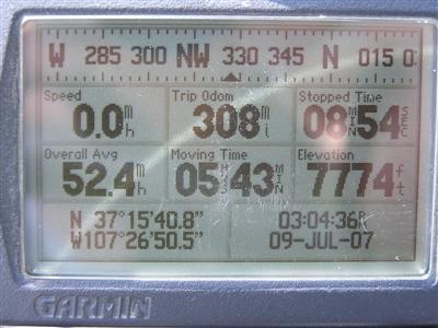
Garmin Mapsource |
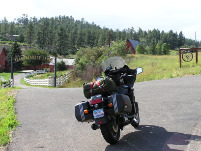
#48 - photos by Randy Bishop, 07/15/2006

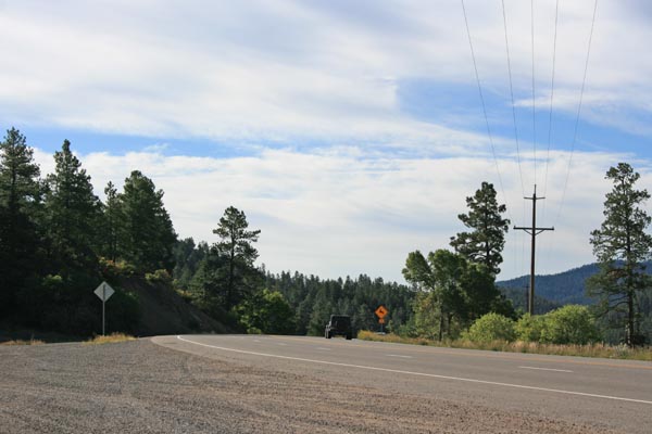
0.5 mile east of the summit. |
0.5 mile east of the summit. |

0.4 miles east of summit, looking east. |
At the summit. |
| Feature Name | ID | Class | County | State | Latitude | Longitude | Ele(ft) | Map | BGN Date | Entry Date |
| Yellowjacket Pass | 184241 | Gap | Archuleta | CO | 371545N | 1072655W | 7785 | Baldy Mountain | - | 13-OCT-1978 |