
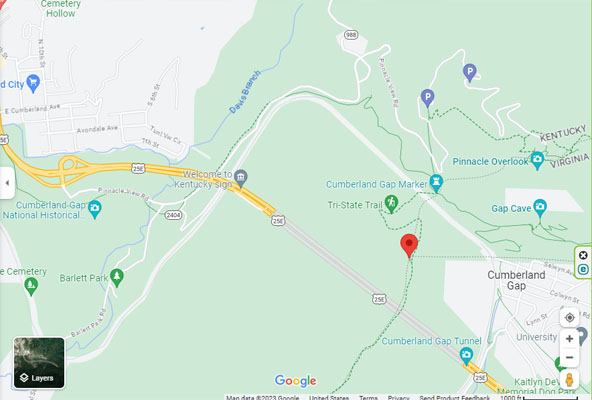
KY-TN-VA tripoint
|
KY-TN-VA tripoint |
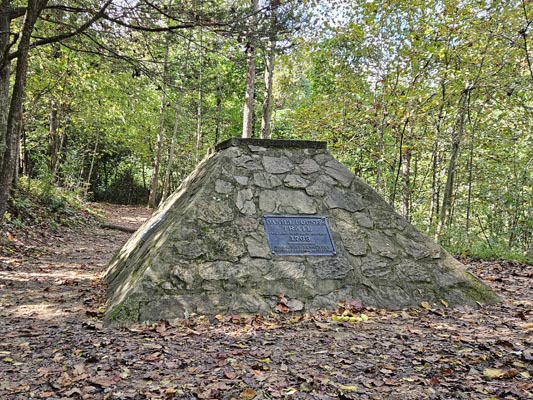
Tripoint of Kentucky, Tennessee and Virginia.
Southeast corner of Kentucky - Bell County - Kentucky - Elevation = 1,965 feet
Northern border of Tennessee - Claiborne County - Tennessee
Southwest corner of Virginia - Lee County - Virginia
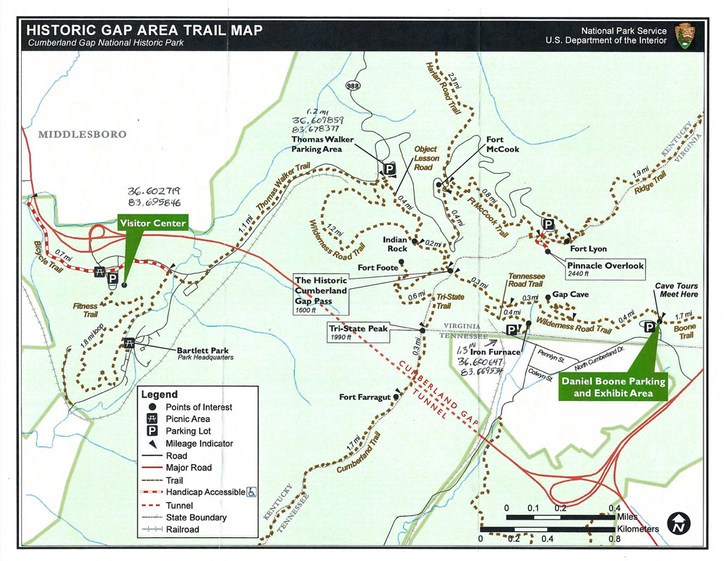
In Cumberland Gap National Historical Park near Middlesboro, Kentucky.
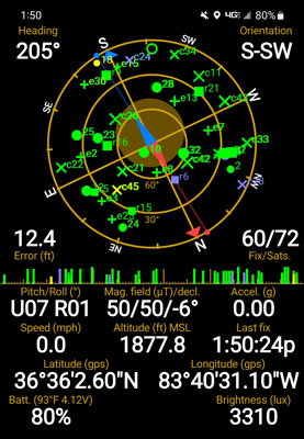
36°36'02.8"N 83°40'31.4"W == 36.600722, -83.675306
hiking trail
photos by Randy Bishop, 10/14/2023
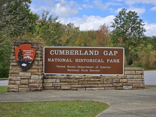
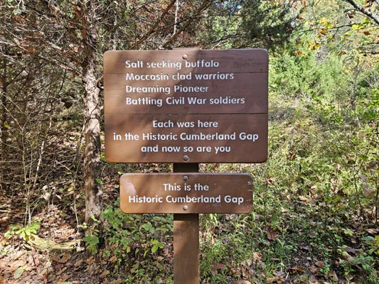
At the visitor center. |
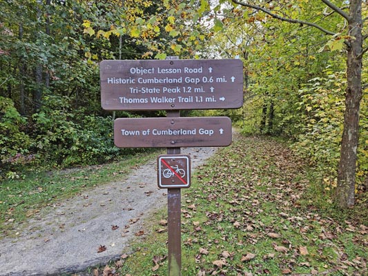
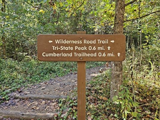
At the trailhead. |
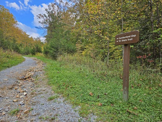
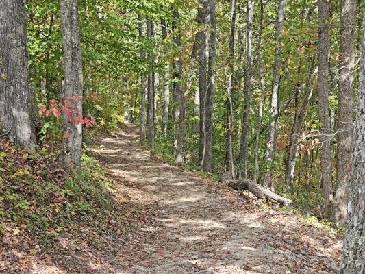
Along the trail. |
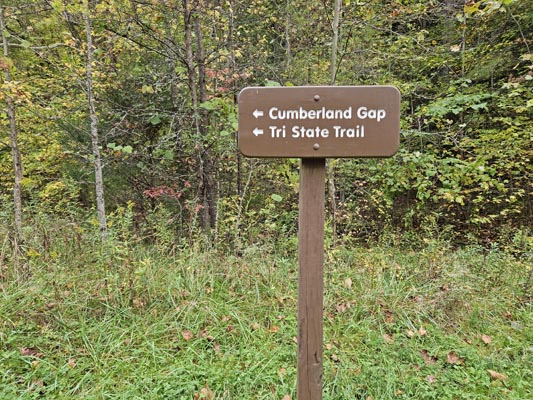
Along the trail. |
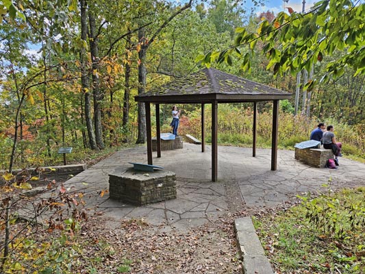
At the Cumberland Gap summit. |
At the Cumberland Gap summit. |
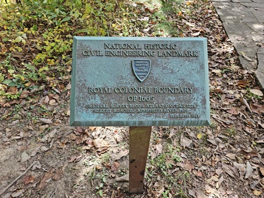
Daniel Boone's Trail, 1769 |
Along the trail. |
At the tripoint. |
At the tripoint. |
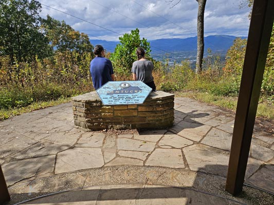
At the tripoint. |
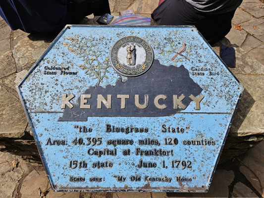
At the tripoint. |
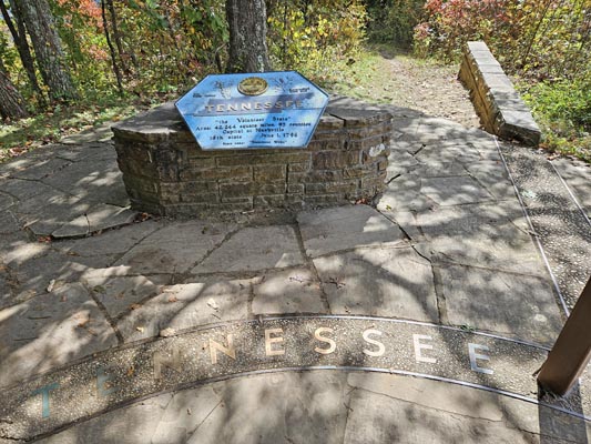
At the tripoint. |
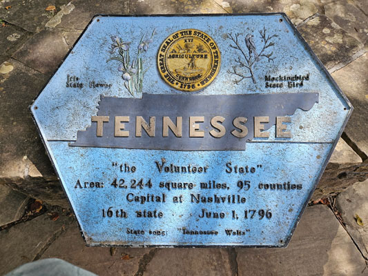
At the tripoint. |
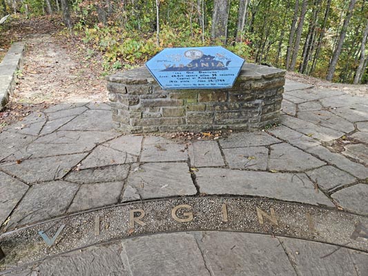
At the tripoint. |
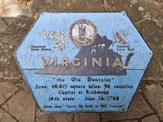
At the tripoint. |

At the tripoint. |
At the tripoint. |
National Parks |
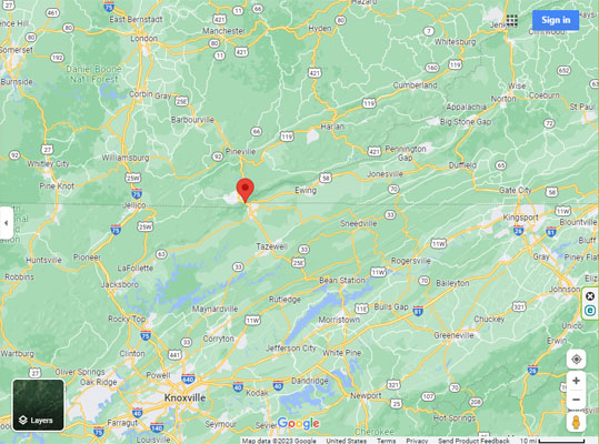
Google Maps |
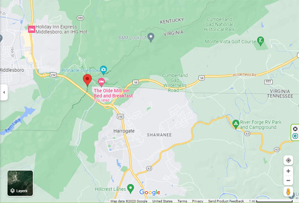
Google Maps |
Google Maps |
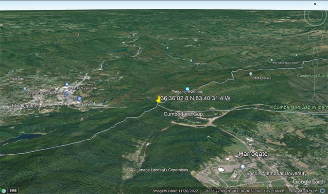
Google Earth |
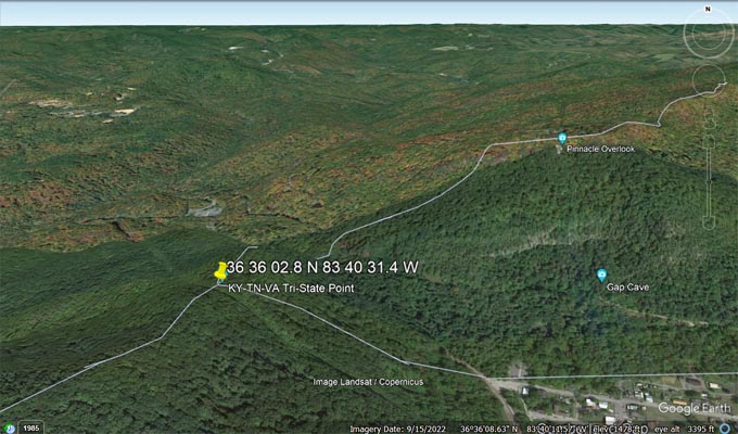
Google Earth |
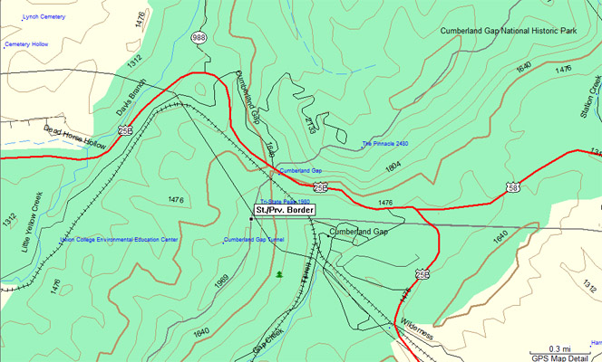
Garmin MapSource |
| Feature Name | ID | Class | County | State | Latitude | Longitude | Ele(ft) | Map | BGN Date | Entry Date |
| Tri-State Peak | 505490 | Summit | Bell | KY | 363605N | 08340314W | 1985 | Middlesboro South | 200-SEP-1979- | 27-JUN-2018 |
| Cumberland Gap | 490475 | Gap | Bell | KY | 363614N | 0834023W | 1631 | Middlesboro South | - | 20-SEP-1979 |