
Geronimo Pass
|
Geronimo Pass |
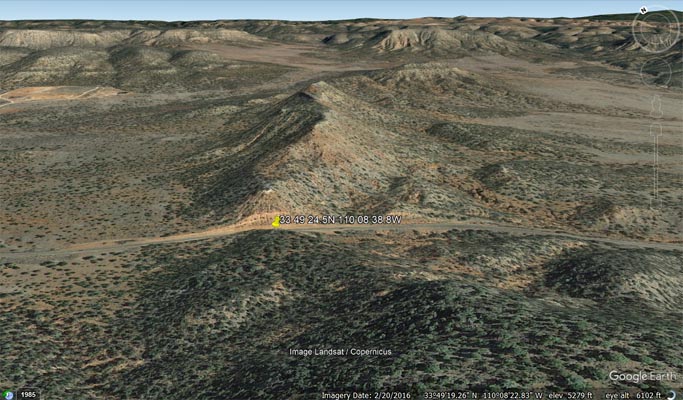
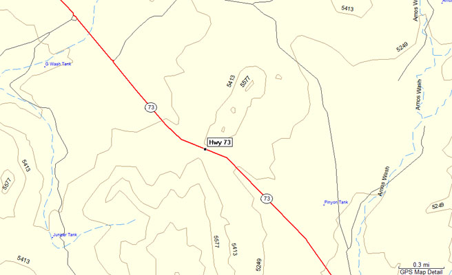
Geronimo Pass - Navajo County - Arizona - 5,342 feet
On AZ-77 15.5 miles south of US-60. About 7.5 miles northwest of Fort Apache.
pavement - road bike
photo by Carl Thomte, 2015
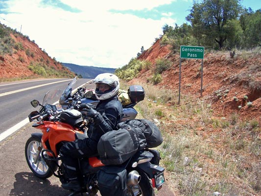
Cathy at the summit, looking southeast. |
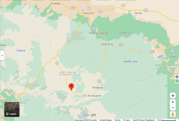
Google Maps |
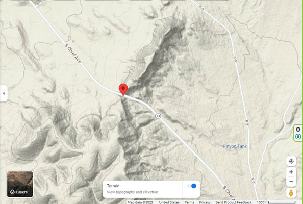
Google Maps |
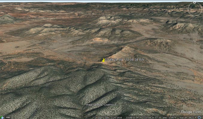
Google Earth |
Google Earth |
Garmin Mapsource |