
Sitgreaves Pass
|
Sitgreaves Pass |
Sitgreaves Pass - Mojave County - Arizona - 3,550 feet
On AZ-66 (old US-66) between Kingman and Oatman, Arizona.
paved - road bike
photos by Randy Bishop, 5/16/2025

South of Kingman. |

On the Oatman Hwy, looking north back toward Kingman. |

On the Oatman Hwy, looking south toward Oatman. |

On the Oatman Hwy, looking back southeast. |

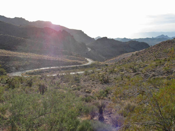
Looking northwest toward the summit. |

Southeast of the summit. |

Looking northwest toward the summit. |

Looking northwest toward the summit. |

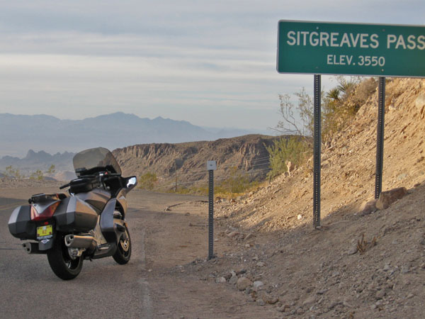
At the summit, looking west. |

At the summit, looking west. |

At the summit, looking west. |

At the summit, looking east. |

At the summit, looking back east. |

At the summit, looking back east. |

At the summit, looking west. |

In Oatman, looking south. |

In Oatman. |

In Oatman. |

In Oatman, looking north. |

South of Oatman, looking toward Topock. |

South of Oatman. |
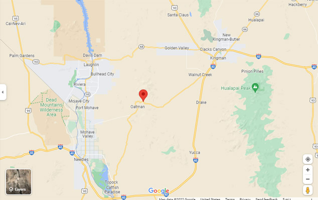
Google Maps |
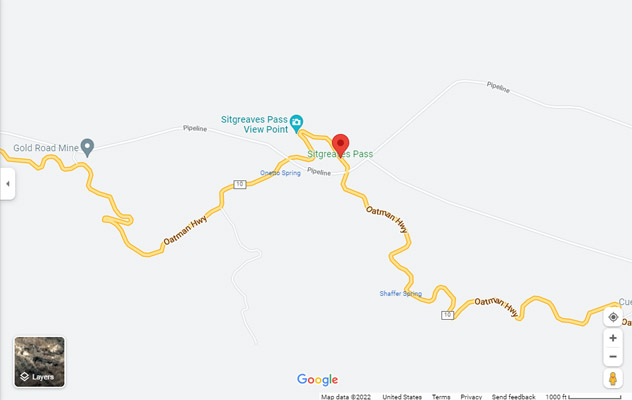
Google Maps |
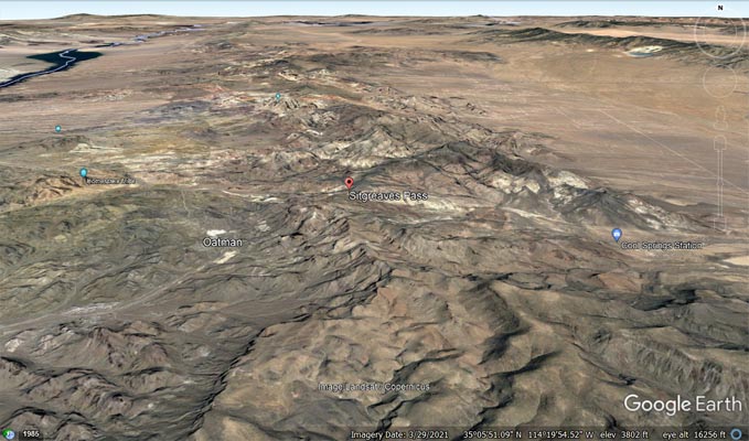
Google Earth, looking north. |
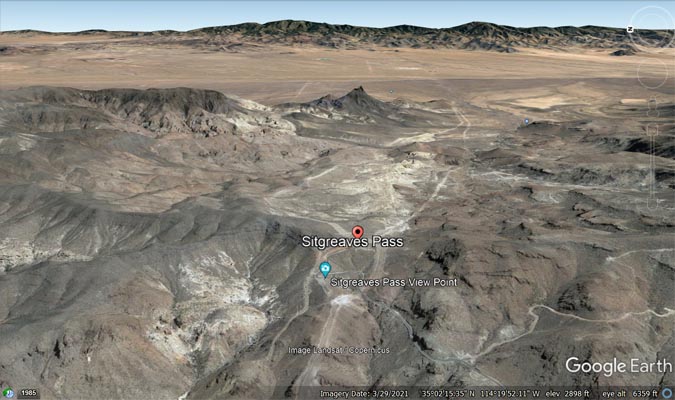
Google Earth, looking east. |
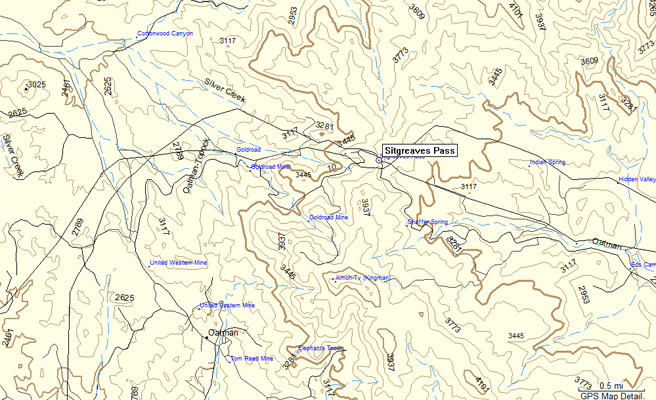
Garmin Mapsource |
photos by Karl Zuercher, 11/2008
At the summit, looking west. |
Near the summit, looking west. |
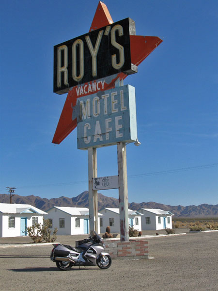
Amboy, CA |
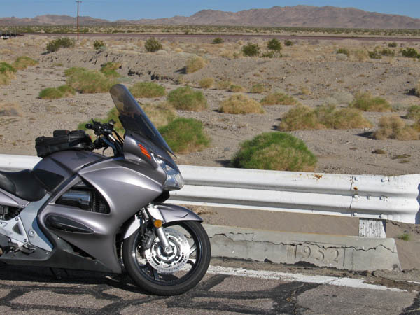
1952 bridge west of Amboy, CA |
| Feature Name | ID | Class | County | State | Latitude | Longitude | Ele(ft) | Map | BGN Date | Entry Date |
| Sitgreaves Pass | 11373 | Gap | Mohave | AZ | 350245N | 1142138W | 3586 | Mount Nutt | - | 08-FEB-1980 |