
Bathtub Pass
|
Bathtub Pass |
Bathtub Pass - Custer County - Colorado - 9,603 feet
No discernable watershed divide.
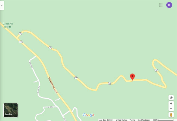
East of Greenhill Divide on CO-78.
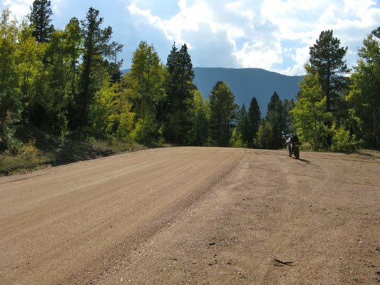
gravel - dual sport
photos by Karst Postma, 9/24/2016
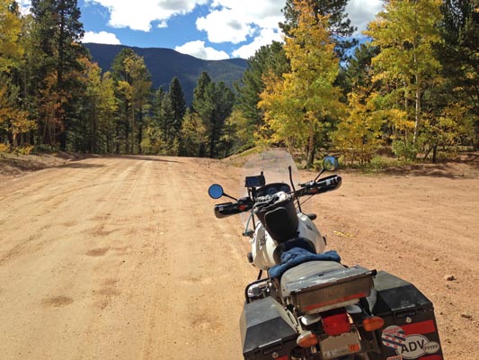
At the summit. |
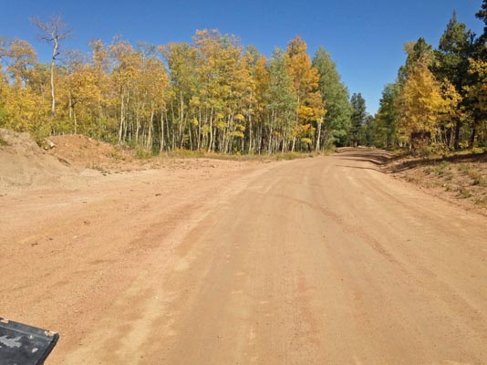
At the summit. |
At the summit. |
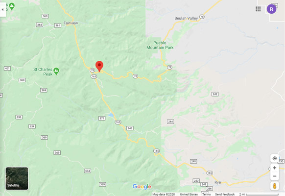
Google Maps |
Google Maps |
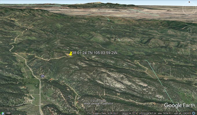
Google Earth, looking north. |

Google Earth, looking west. |
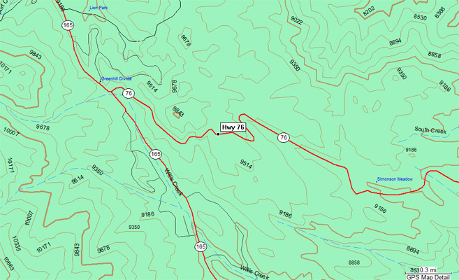
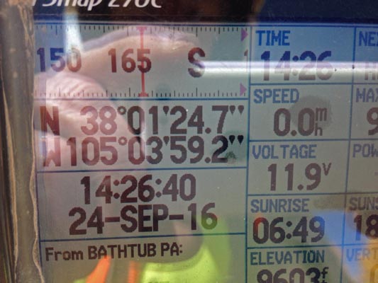
Garmin MapSource |
Notes from Karst: We just did a trip to Westcliffe exploring the Sangre de Cristo Mountains and Wet
Mountains passes including Hayden, Music (yes, had to hike the last 1.3 miles), Medano, Mosca, Ophir Creek,
Hardscrabble, etc. passes. We had already done Hermit two years ago. In the process of researching some of
these I stumbled onto a couple of references to two other possible passes in the general area, although the
references are rather weak but thought I'd share them anyway.
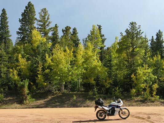
photos by Curtis Kohl, 9/19/2009
At the summit. |
At the summit. |
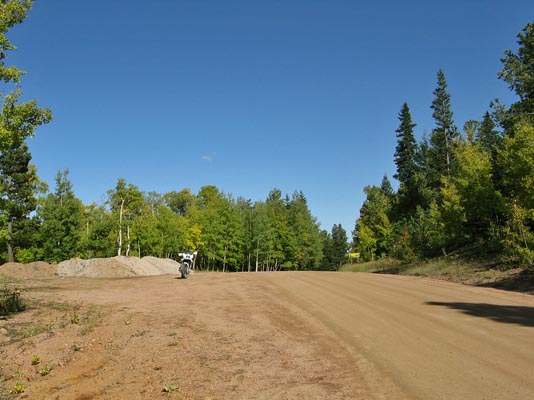
At the summit. |
Notes from Curtis: I had actually seen Bathtub Pass and ridden it two previous times but never found a
reference to a name until the other day while researching the Wet Mountains and saw a reference on the
Wet Mountains Wikipedia page that stated: "The gravel road that connects SH 78 from Beulah to SH 165 is
known locally as Bathtub Pass, for a discarded roadside clawfoot bathtub."
Reference here:
Wikipedia under "Transport"'.
Located at 38°01'24.7"N 105°03'59.0"W.