
Chilkat Pass
|
Chilkat Pass |
Chilkat Pass - British Columbia, Canada - 1,065m (3,510 ft)
On Haines Highway (BC-3) between Haines Junction, YT, and Haines, AK.
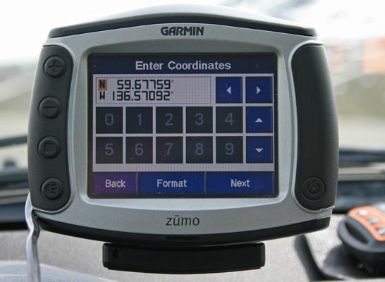
Haines Highway crossing: 59 40 37.7N 136 34 11.7W
paved - road bike
photos by Randy Bishop, 06/20/2018
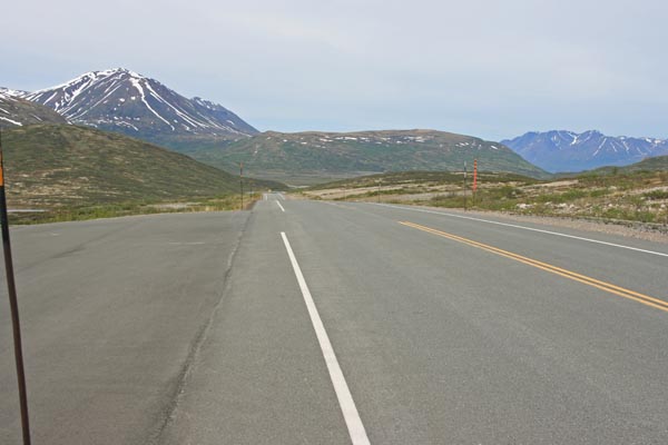
At the summit, looking north. |
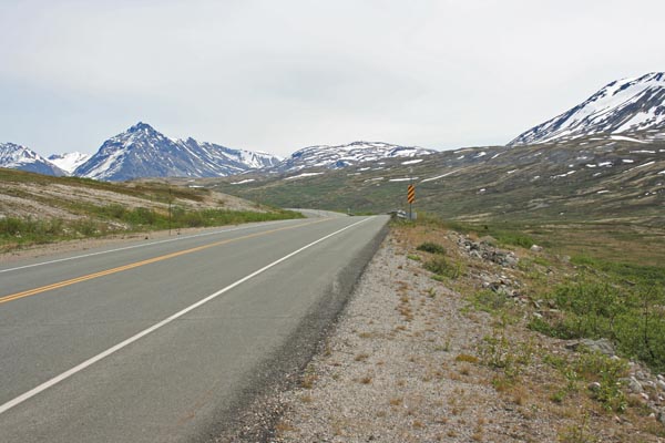
At the summit, looking east. |
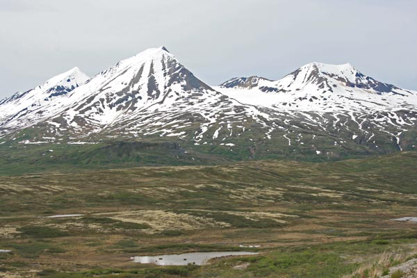
At the summit, looking south. |
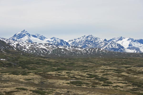
At the summit, looking west. |
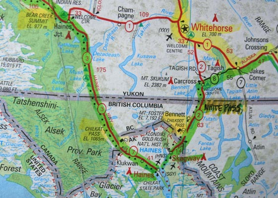
Map |
At the summit. |
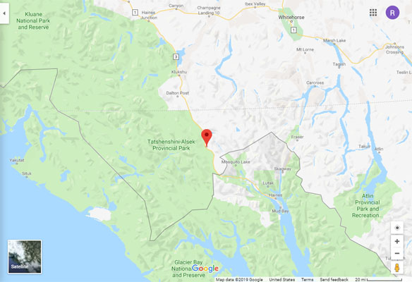
Google Maps |
Google Maps |
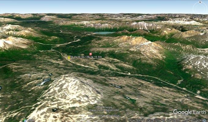
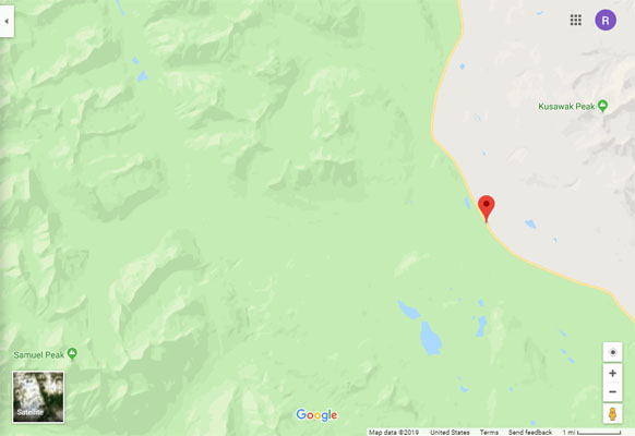
Google Earth |
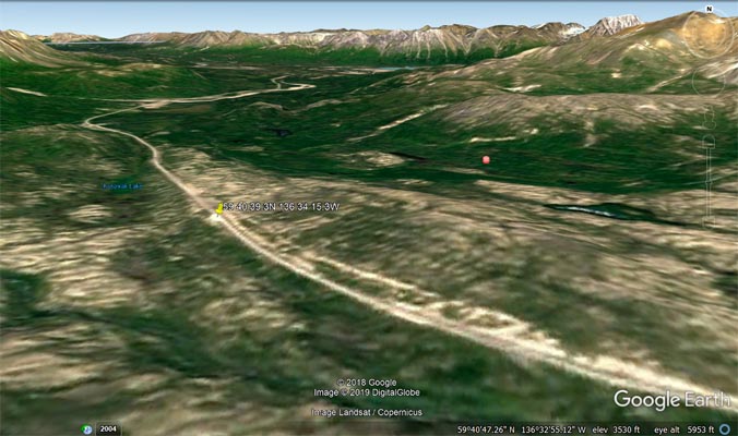
Google Earth |
See British Columbia Topographic Map Viewer.
From The Milepost:
Alaska’s Highest Highway Passes
Atigun Pass, elev. 4,800 feet, at Milepost J 244.7 Dalton Highway
Maclaren Summit, elev. 4,086 feet, at Milepost P 36.7 Denali Highway
Eagle Summit, elev. 3,685 feet, at Milepost F 107.3 Steese Highway
Eureka Summit, elev. 3,322 feet, at Milepost A 129.5 Glenn Highway
White Pass, elev. 3,292 feet, at Milepost S 14.3 South Klondike Highway
Isabel Pass, elev. 3,280 feet, at Milepost V 197.7 Richardson Highway
Twelvemile Summit, elev. 3,190 feet, at Milepost F 85.5 Steese Highway
Tahneta Pass, elev. 3,000 feet, at Milepost A 122 Glenn Highway
Thompson Pass, elev. 2,678 feet, at Milepost V 25.9 Richardson Highway
Mentasta Summit, elev. 2,434 feet, at Milepost GJ 79.2 Glenn Highway
Cleary Summit, elev, 2,233 feet, at Milepost F 20.5 Steese Highway
NOTE: Chilkat Pass, elev, 3,510 feet/1,070m, at Milepost H 59 Haines Highway, is located just across the border from Alaska in British Columbia.
The highest summit on the Alaska Highway is Summit Pass, elev. 4,250 feet/1,295m, at Milepost DC 373.6 (Historic Milepost 392) near Summit Lake,
British Columbia. The second highest pass on the Alaska Highway, and the highest point on the Alaska Highway between Whitehorse and Fairbanks. is
Bear Creek Summit, elev. 3,294 feet/1,004m, at Milepost DC 1000.1 in Yukon.