
Muncho Pass
|
Muncho Pass |
Muncho Pass - British Columbia, Canada - 1,095 m (3,593 ft)
Other names: Muncho Lake Pass, Drogheda Lake Pass, Muncho-Toad Pass
Trout River to north. Toad River to south.
On BC-97 (Alaska Highway) northwest of Toad River and south of Muncho Lake, British Columbia.
Alaska Highway crossing: 50 50 09.1N 125 44 00.7W
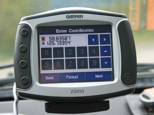
Official location: 58 49 57N 125 43 49W
paved - road bike
photos by Randy Bishop, 6/24/2018
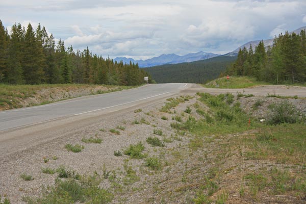
At the summit, looking north. |
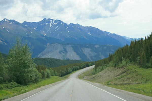
South of the summit, looking south. |
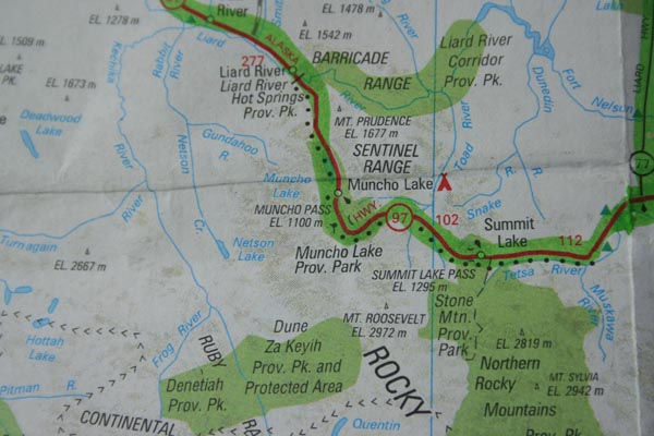
Map |
At the summit. |
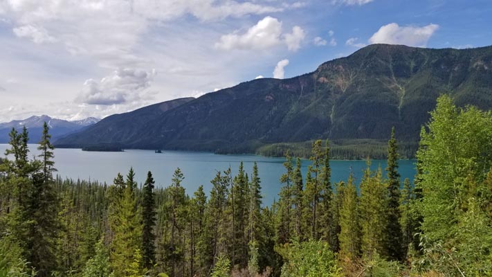
Nearby, Muncho Lake. |
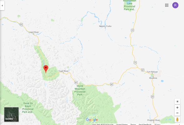
Google Maps |
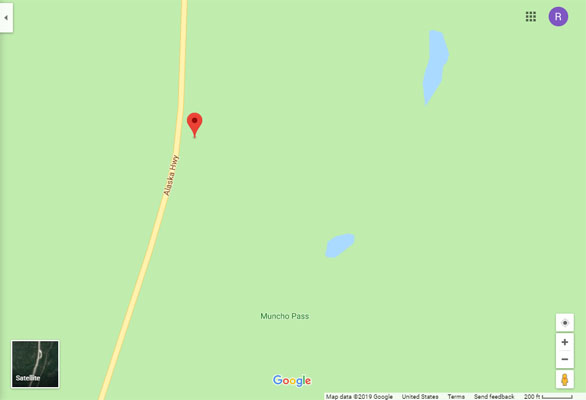
Google Maps |
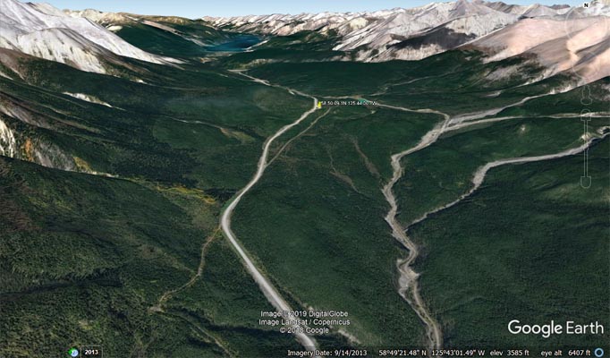
Google Earth |
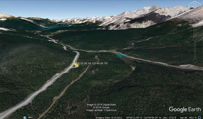
Google Earth |
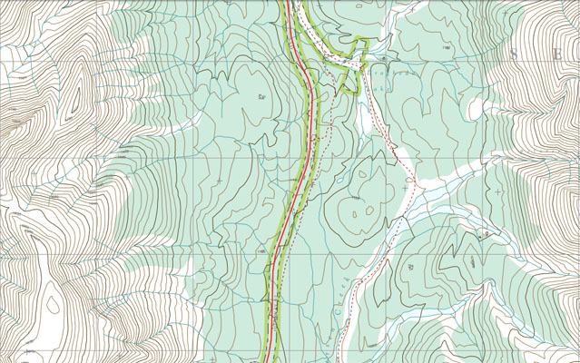
BC Topographic Map 094K08201 |