
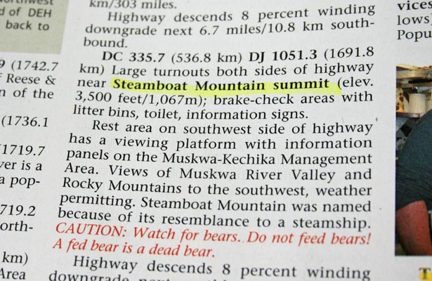
Steamboat Mountain Summit
|
Steamboat Mountain Summit |
Steamboat Mountain Summit - British Columbia, Canada - 1,067 m (3,500 ft)
The Tetsa River flows past the roadway summit.
On BC-97 (Alaska Highway) between Fort Nelson and Toad River, British Columbia.
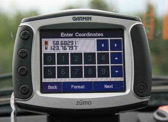
Alaska Highway crossing: 58 40 60.0N 123 46 03.6W
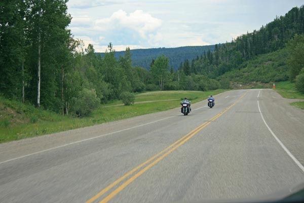
paved - road bike
photos by Randy Bishop, 6/24/2018
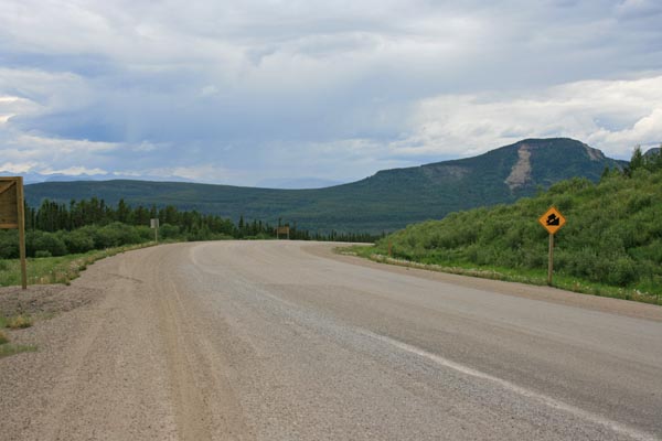
At the summit, looking west. |
At the summit, looking east. |
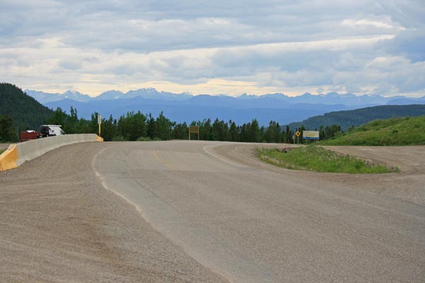
At the summit, looking south. |
At the summit, looking east. |
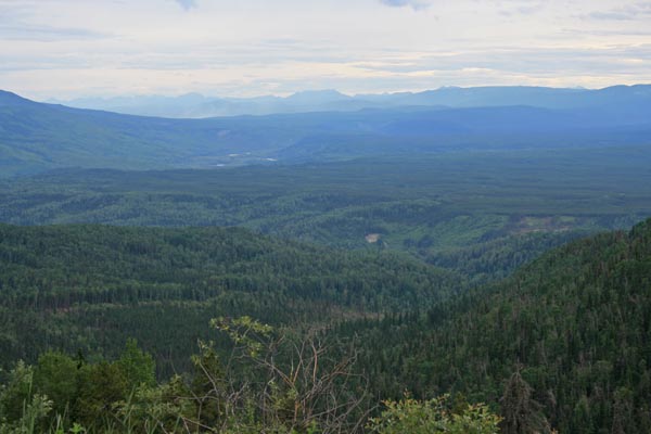
At the summit. |
At the summit. |
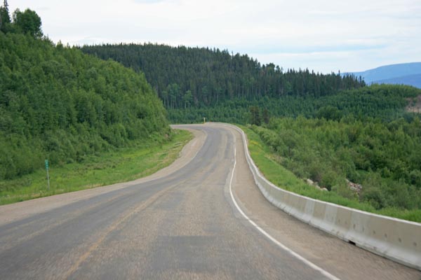
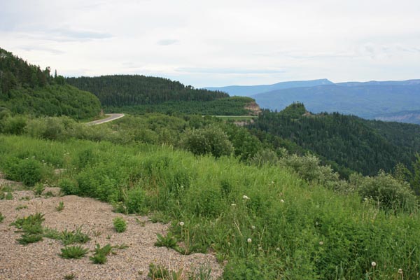
A few miles east of the summit. |
A few miles east of the summit. |
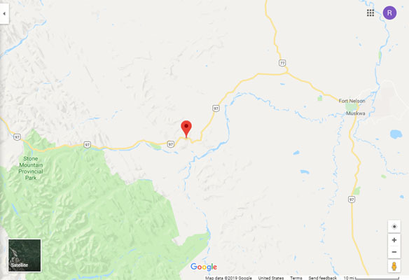
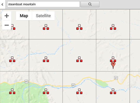
Google Maps |
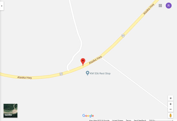
Google Maps |
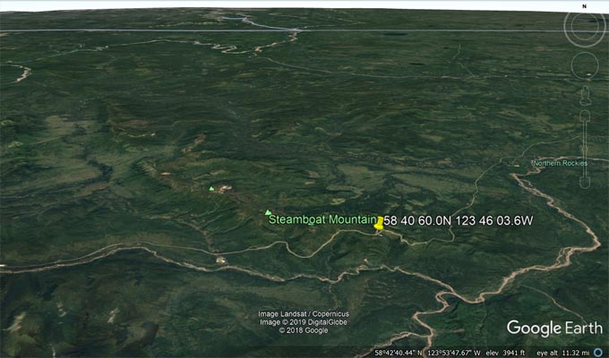
Google Earth |
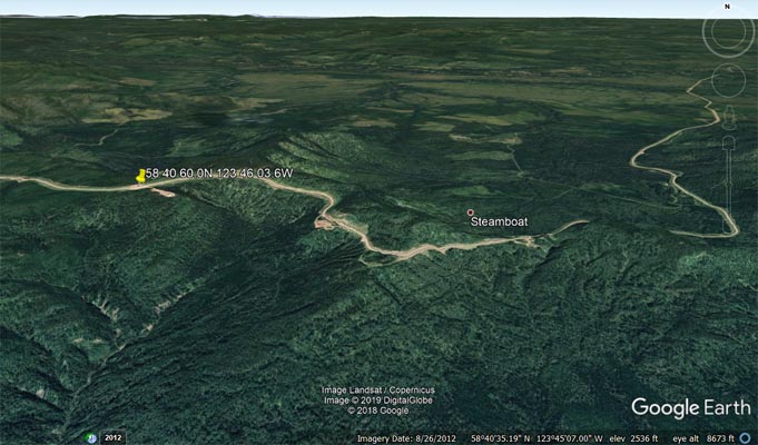
Google Earth |
BC Topographic Maps |
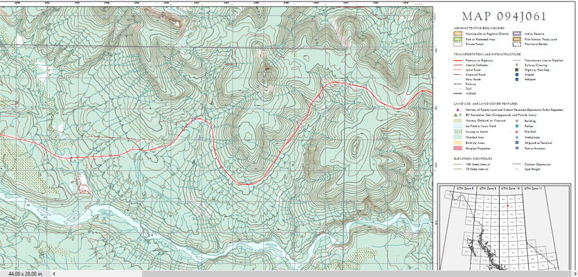
BC Topographic Map 094J061 |