
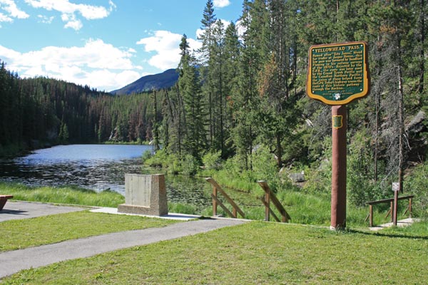
Yellowhead Pass
|
Yellowhead Pass |
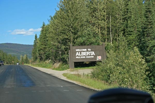
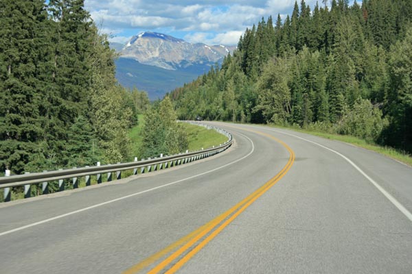
Yellowhead Pass - Alberta / British Columbia, Canada - 1,131 meters (3,711 feet) - on the Continental Divide
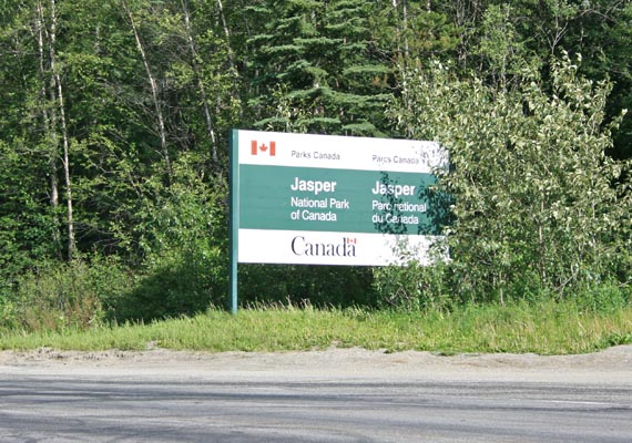
On Trans Canada 16 (Yellowhead Highway) 26 km west of Jasper, Alberta.
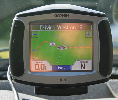
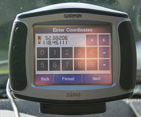
52 52 55.4N 118 27 04.0W
paved - road bike
photos by Randy Bishop, 6/27/2018
At the summit, on north side of highway. |
At the summit. |
At the summit. |
At the summit. |
At the summit. |
At the summit, on south side of highway. |
At the summit, looking west. |
At the summit, looking west. |
At the summit. |
At the summit. |
East of the summit, looking east. |
East of the summit, looking east. |
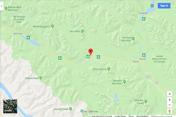
Google Maps |
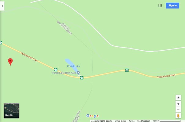
Google Maps |
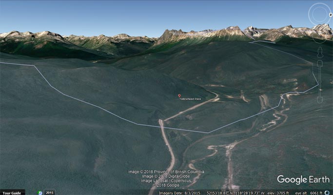
Google Earth, looking west. |
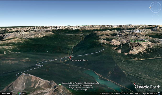
Google Earth, looking east. |
|
|
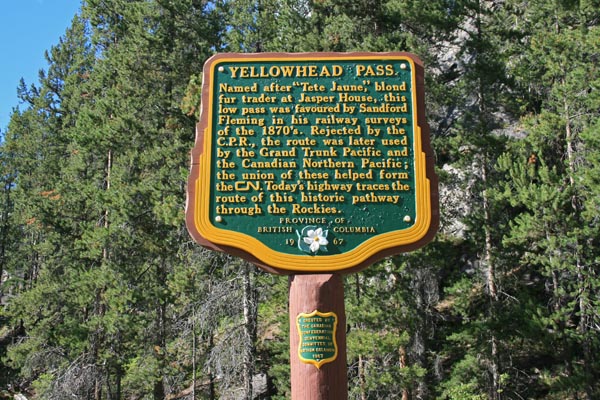
Yellowhead Pass.
Named after "Tete Jaune," blond fur trader at Jasper House, this low pass was favoured by Sandford Fleming in his
railway surveys of the 1870s. Rejected by the C.P.R., the route was later used by the Grand Trunk Pacific; the union
of these helped form the CN. Today's highway traces the route of this historic pathway through the Rockies.
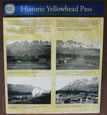
Historic Yellowhead Pass.
This historic pass gets its name from a famous fur trader that worked here during the early part of the 19th century.
"Tete Jaune" was the nickname of Pierre Bostonais, a fair haired Iroquois trader who was employed by the North West and
Hudson's Bay fur trading companies. Todaywe know this area by the English translation "Yellowhead."
The Yellowhead Pass is an important transportation route across the Continental Divide. It is one of the lowest elevation
passes across the Great Divide in the Northern Rockies and for centuries Aboriginal people traversed this pass on foot. It
was an important route for fur traders from 1815 to 1850. The Overlanders used this route to get to the rich Cariboo Goldfields
later in the century.
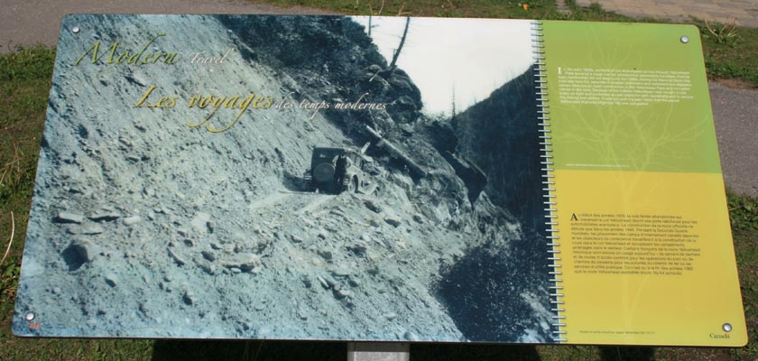
In the early 20th century, the Yellowhead Pass was selected as the corridor for both the Grand Trunk Pacific Railway and the
Canadian Northern Railway. During the Second World War a rough "tote road" was constructed through the pass by interned Japanese
Canadians. Over the years this road was upgraded and by 1970 it was paved and officially opened as part of the Yellowhead Highway.
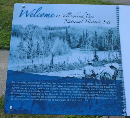
In the early 1920s, portions of the abandoned rail line through Yellowhead Pass became a rough trail for adventurous automobile
travellers. Formal road construction did not begin until the 1940s. During WWII, camps laboured on road construction in the
Yellowhead Pass and occupied camps in the area. Sections of the historic Yellowhead road remain in used today as trails and
controlled access roads for park operations and to service the railway and utilities. It was not until the late 1960s that the
paved Yellowhead Highway (Highway 16) was completed.