
Cuesta Pass
|
Cuesta Pass |
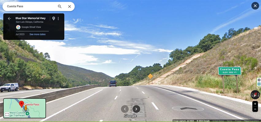
Cuesta Pass - San Luis Obispo County - California - 1,549 feet
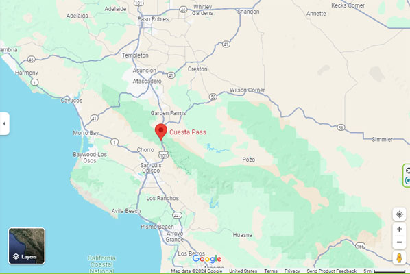
Santa Margarita Creek to north. San Luis Obispo Creek to south.
On US-101, 5 miles south of Santa Margarita. 6 miles north of San Luis Obispo, CA.
pavement - road bike
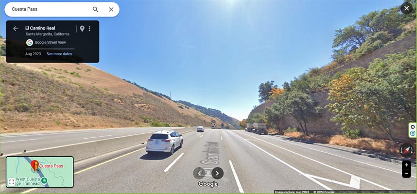
Google Maps, looking north toward Santa Margarita. |
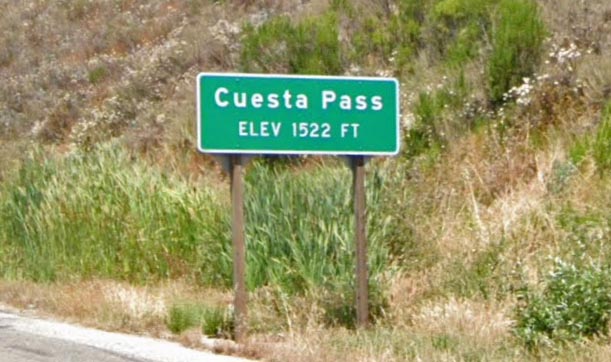
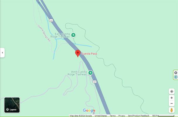
Google Maps, at the summit. |
Google Maps, looking south toward San Luis Obispo. |
Google Maps |
Google Maps |
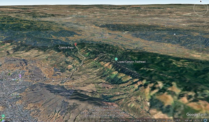
Google Earth, looking north. |
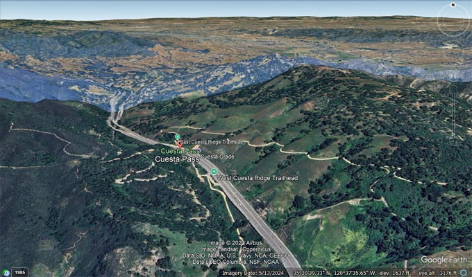
Google Earth, looking north. |
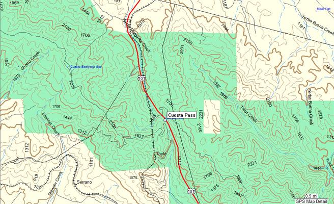
Garmin Mapsource |
| Feature Name | ID | Class | County | State | Latitude | Longitude | Ele(ft) | Map | BGN Date | Entry Date |
| Cuesta Pass | 241160 | Gap | San Luis Obispo | CA | 352056N | 1203752W | 1549 | San Luis Obispo | 19-JAN-1981 | 06-JUN-2017 |