
Pacheco Pass
|
Pacheco Pass |
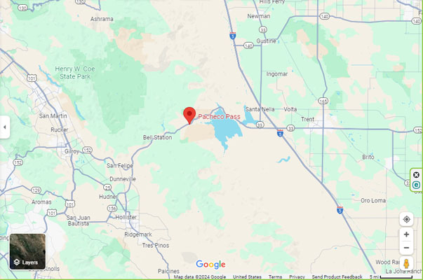
Pacheco Pass - Santa Clara County - California - 1,355 feet
Pacheco Creek to west. Unnamed streams and San Luis Reservoir to east.
On CA-152 (Pacheco Pass Highway), about 17 miles west of Santa Nella, CA.
pavement - road bike
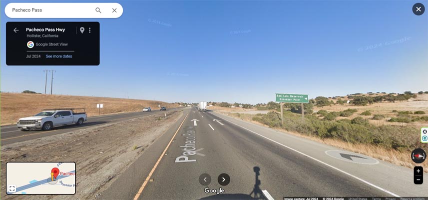
Google Maps, looking west toward Gilroy. |
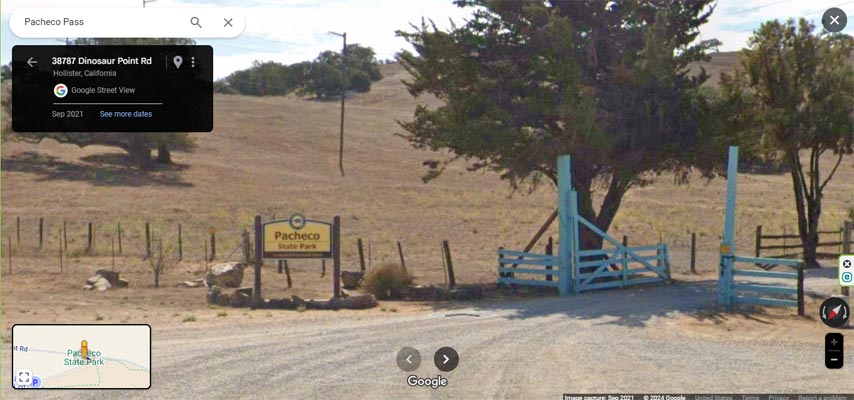
Google Maps, near the summit. |
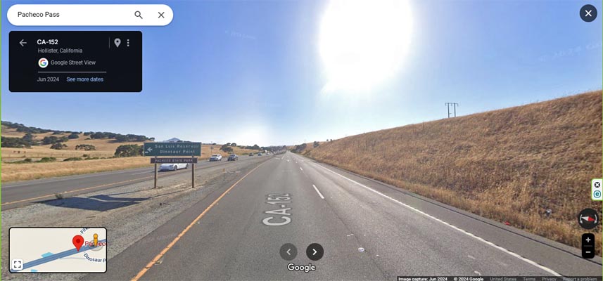
Google Maps, looking east toward Santa Nella. |
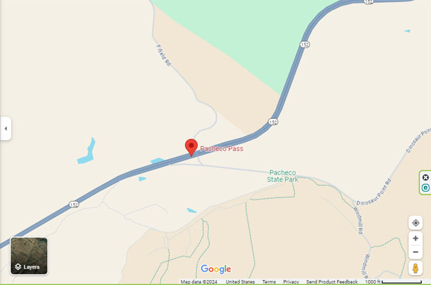
Google Maps |
Google Maps |
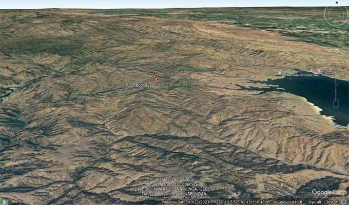
Google Earth, looking north. |
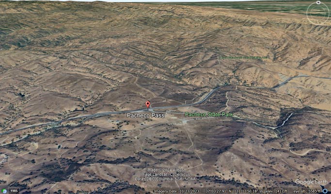
Google Earth, looking north |
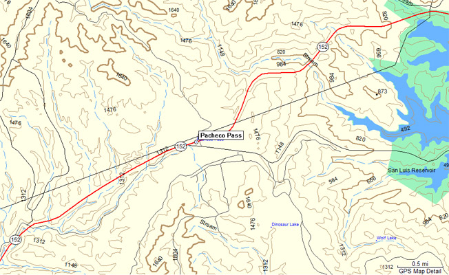
Garmin Mapsource |
| Feature Name | ID | Class | County | State | Latitude | Longitude | Ele(ft) | Map | BGN Date | Entry Date |
| Pacheco Pass | 230196 | Gap | Santa Clara | CA | 370359N | 1211311W | 1355 | Pacheco Pass | - | 19-JAN-1981 |