
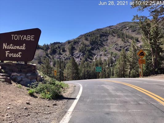
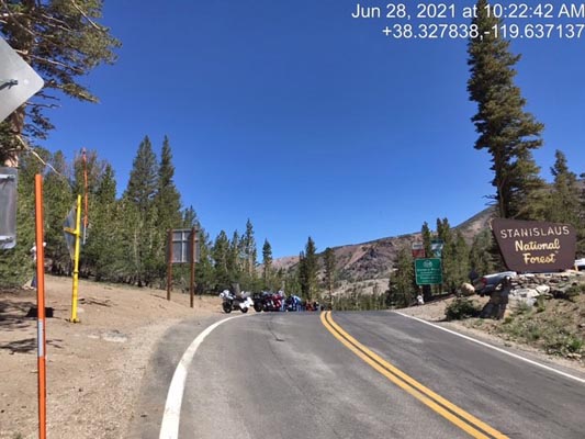
Sonora Pass
|
Sonora Pass |
Sonora Pass - Mono County - California - 9,624 feet
On CA-108, about 112 miles northeast of Modesto, CA.
pavement - road bike
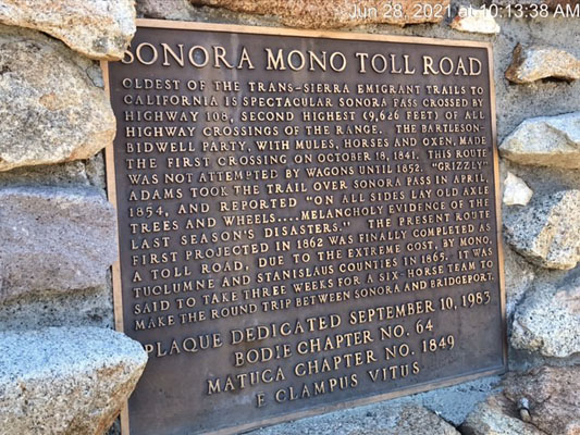
At the summit. |
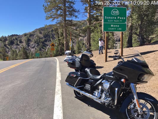
At the summit. |
At the summit. |
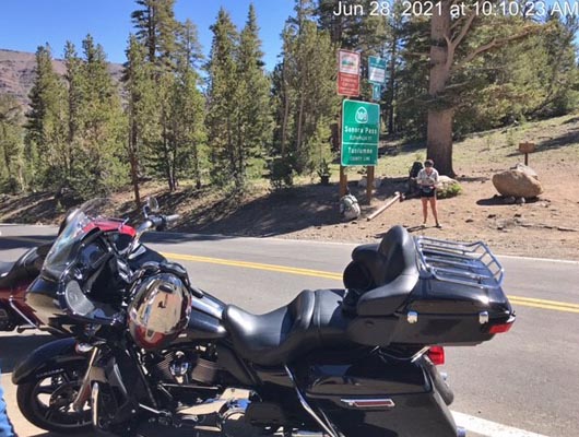
At the summit. |
At the summit. |
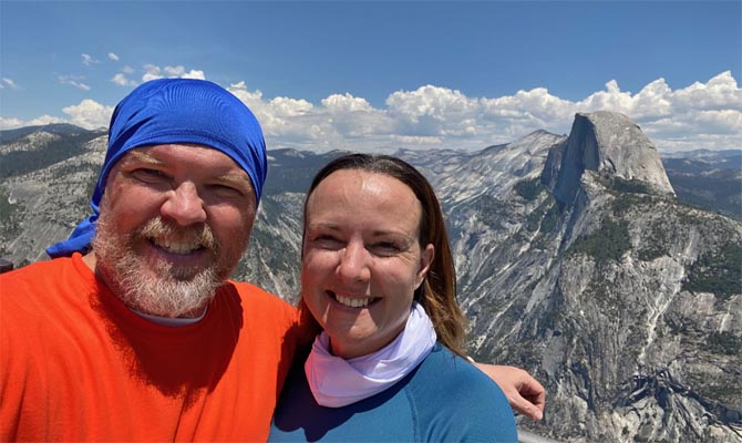
About 2 hours south at Yosemite National Park. |
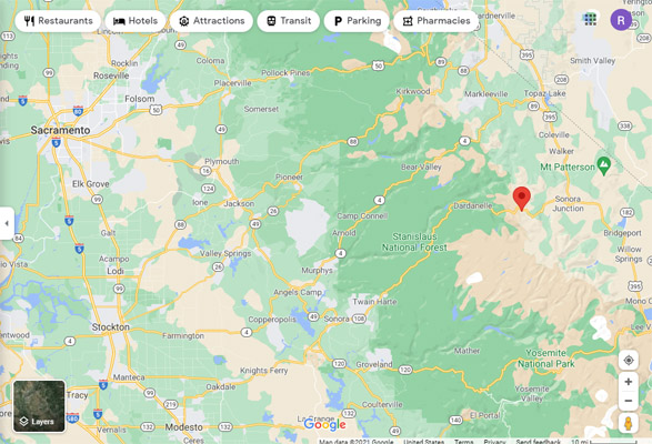
Google Maps |
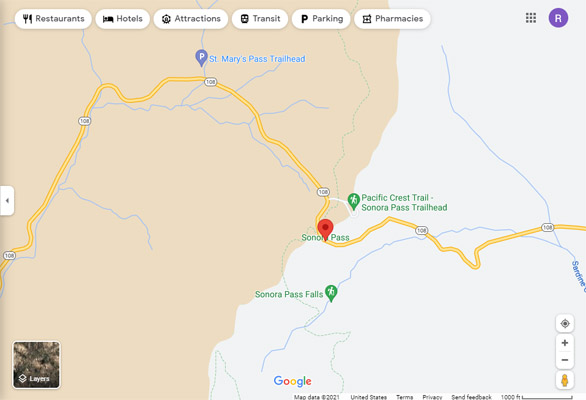
Google Maps |
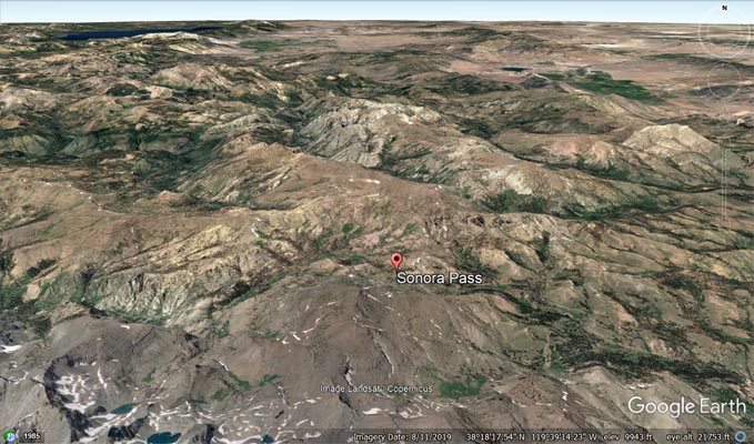
Google Earth |
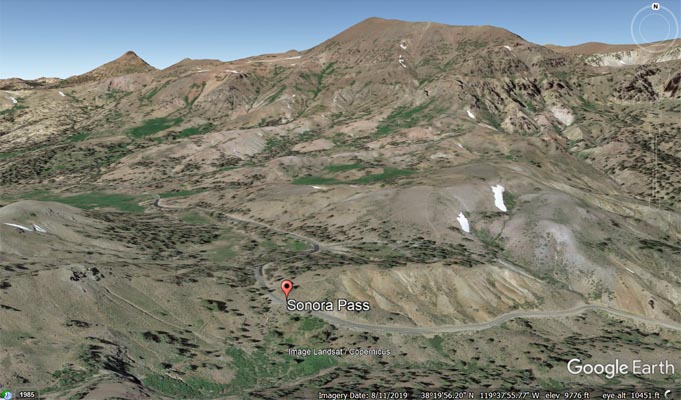
Google Earth |
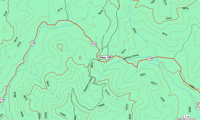
Garmin MapSource |
| Feature Name | ID | Class | County | State | Latitude | Longitude | Ele(ft) | Map | BGN Date | Entry Date |
| Sonora Pass | 1934439 | Gap | Mono | CA | 381940N | 1193813W | 9606 | Sonora Pass | - | 15-AUG-2001 |