
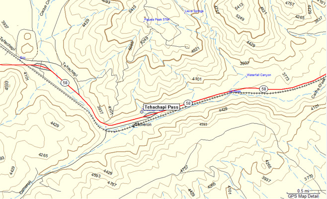
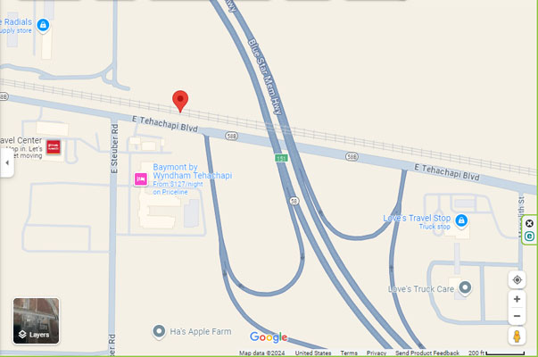
Tehachapi Pass
|
Tehachapi Pass |
Tehachapi Pass - Kern County - California - 3,799 feet
Intermittent creeks to west. Cache Creek to east.
On CA-58, near Tehachapi, CA.
pavement - road bike
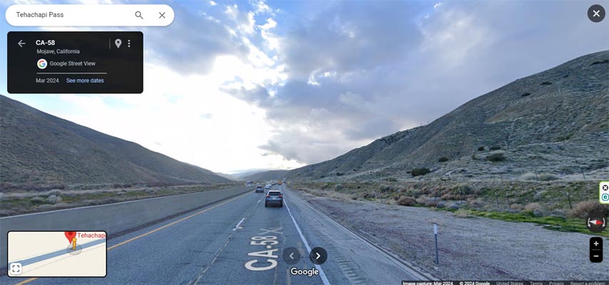
Google Maps, looking west toward Tehachapi. |
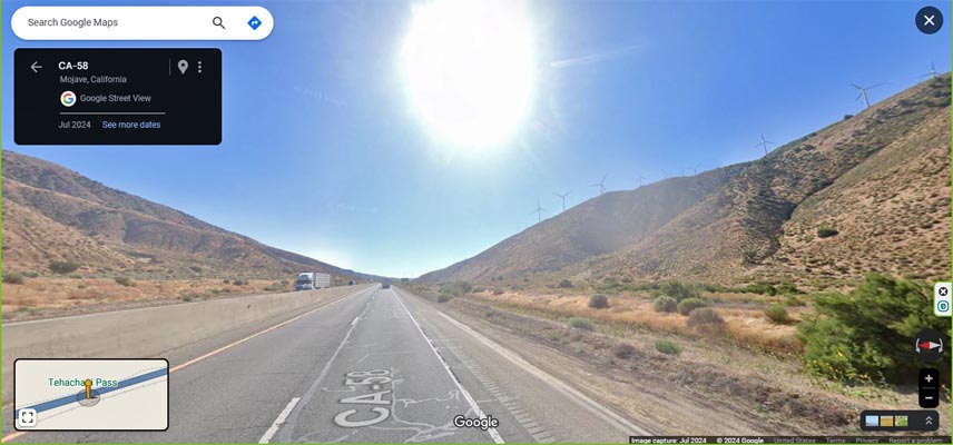
Google Maps, looking east toward Mojave. |
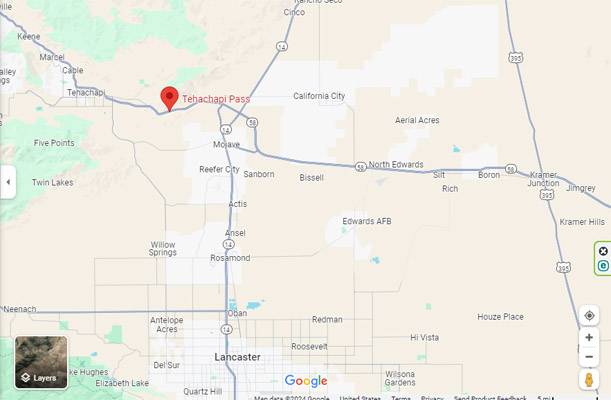
Google Maps |
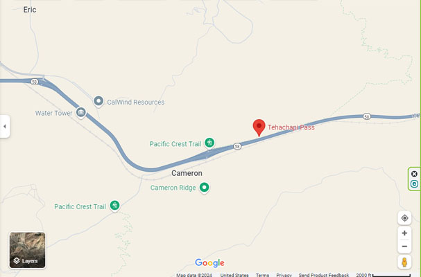
Google Maps |
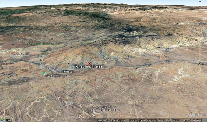
Google Earth, looking north. |
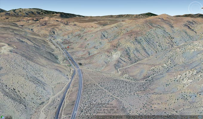
Google Earth, looking west |
Garmin Mapsource |
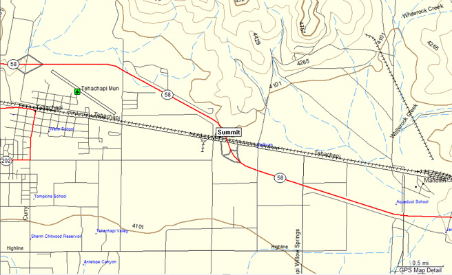
The summit (high point) of the pass is at Summit, as shown on topographic map, below.
CA-58, Exit 151 - 35 07 39.9N 118 24 50.1W - 4,040 feet
Tehachapi Creek to west. Whiterock Creek to east.
Google Maps |
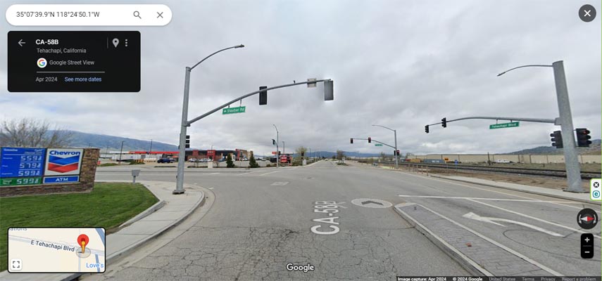
Google Maps, looking west. |
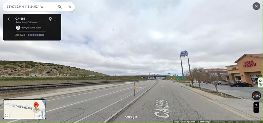
Google Maps, looking east. |
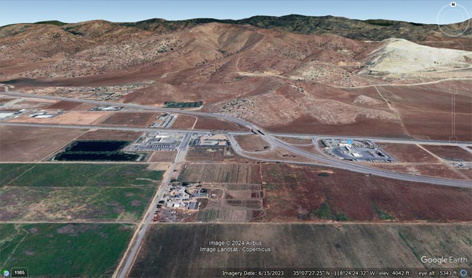
Google Earth, looking north. |
Garmin Mapsource |
| Feature Name | ID | Class | County | State | Latitude | Longitude | Ele(ft) | Map | BGN Date | Entry Date |
| Tehachapi Pass | 254326 | Gap | Kern | CA | 350608N | 1181701W | 3799 | Manolith | - | 19-JAN-1981 |