
Coal Ridge Divide
|
Coal Ridge Divide |
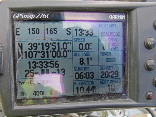
Coal Ridge Divide - Mesa County - Colorado - 10,433 feet
No discernable watershed divide.
On FR-801 south of Silt, west of Carbondale. About 2.3 miles south of Coal Ridge (Mesa County).
gravel - dual sport
photos by Karst Postma, 7/25/2013
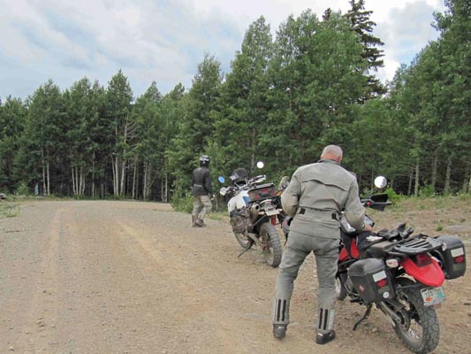
At the summit. |
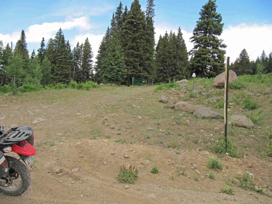
At the summit. |
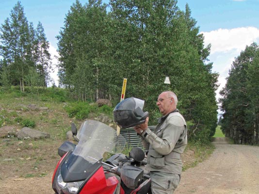
At the summit. |
At the summit. |
At the summit. |
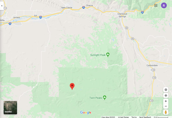
Google Maps |
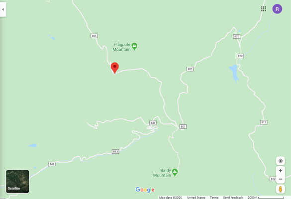
Google Maps |
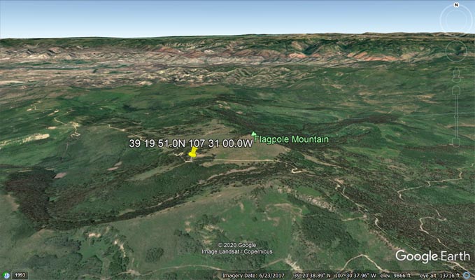
Google Earth |
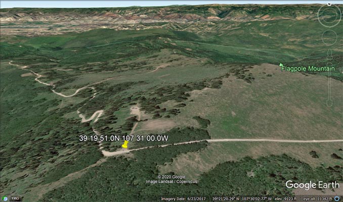
Google Earth |
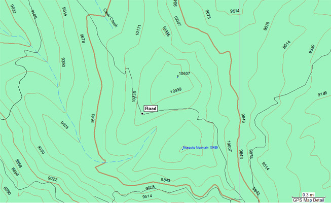
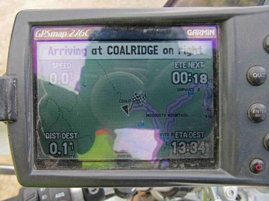
Garmin MapSource |
Notes from Karst: Easily reachable from the north over FR-801 with any type of bike. Hard packed
graveled roads. From here you can continue further south to Haystack Gate over FR-801/FR-812. This
road can be easily be done on big bikes with moderate skills. It is hard packed and no steep hills,
but very uneven and can be muddy when wet. The map says 4WD, but I would say barely so. Mostly
due to ground clearance requirements in the many dips in the road.
| Feature Name | ID | Class | County | State | Latitude | Longitude | Ele(ft) | Map | BGN Date | Entry Date |
| Coal Ridge | 174951 | Ridge | Mesa | CO | 392105N | 1073219W | 9524 | Flatiron Mountain | - | 13-OCT-1978 |