
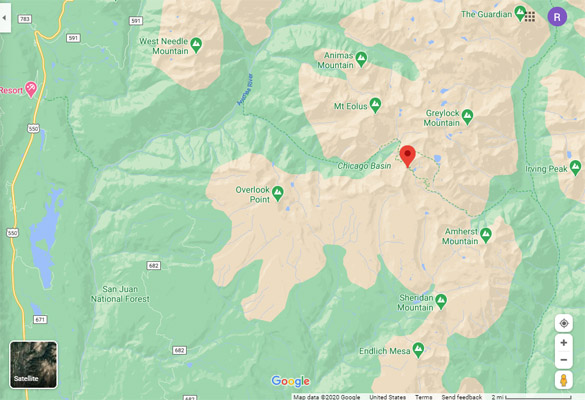
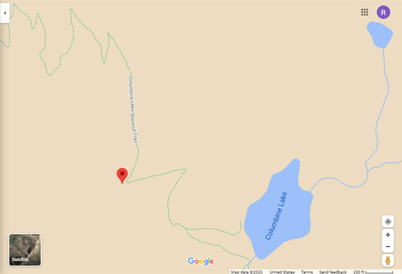
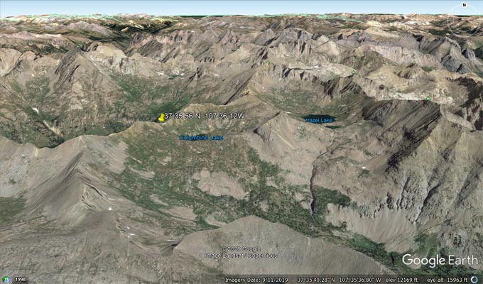
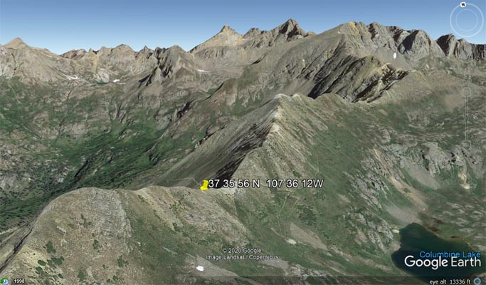
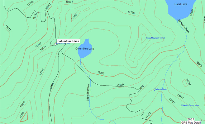
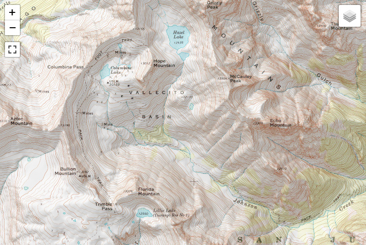
Columbine Pass
|
Columbine Pass |
Columbine Pass - La Plata County - Colorado - 12,700 feet
Needle Creek to west. Johnson Creek to east.
On Forest Service Trail 504 southeast of Silverton.
hiking trail
10/20/2020
Google Maps |
Google Maps |
Google Earth |
Google Earth |
Garmin MapSource |
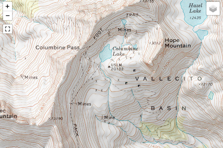
topographic map |
topographic map |
| Feature Name | ID | Class | County | State | Latitude | Longitude | Ele(ft) | Map | BGN Date | Entry Date |
| Columbine Pass | 187997 | Gap | La Plata | CO | 373556N | 1073612W | 12672 | Columbine Pass | - | 13-OCT-1978 |