
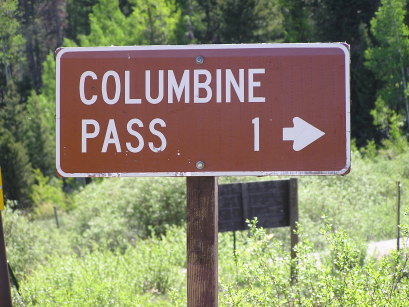
Columbine Pass
|
Columbine Pass |
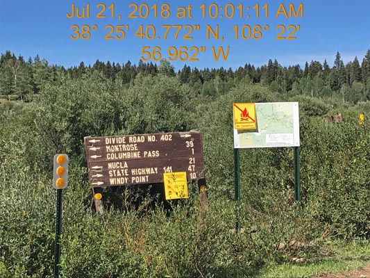
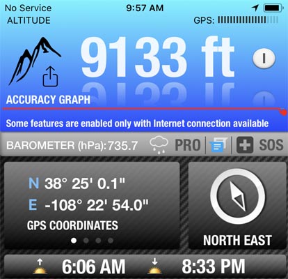
Columbine Pass - Montrose County - Colorado - 9,140 feet
Potter Creek to north. Tabeguache Creek to south.
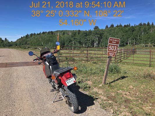
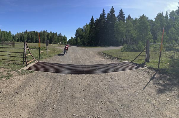
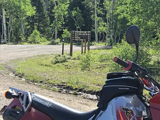
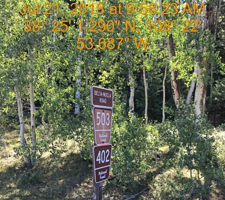
FR-503 east of Nucla on the Uncompahgre Plateau
gravel - dual sport
photos by Scott Westfall, 7/21/2018
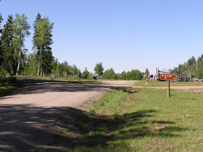
At the summit. |
At the summit. |
At the summit. |
Near the summit. |
Near the summit. |
At the summit. |
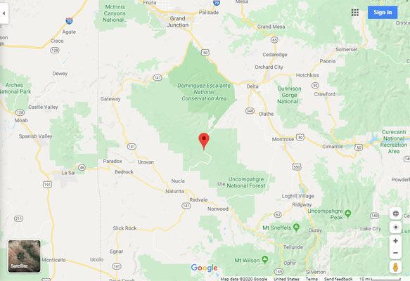
Google Maps |
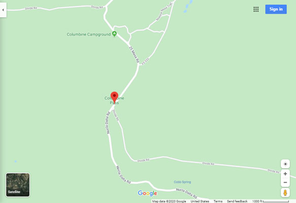
Google Maps |
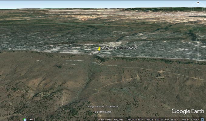
Google Earth |
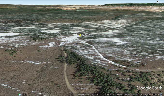
Google Earth |
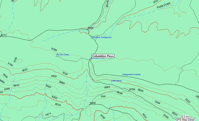
Garmin Mapsource |
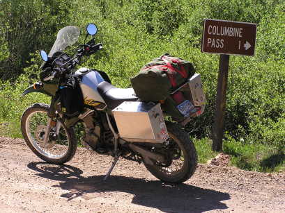
#39 - photos by Randy Bishop, 06/12/2006
Near the summit. |
Near the summit. |
At the summit. |
| Feature Name | ID | Class | County | State | Latitude | Longitude | Ele(ft) | Map | BGN Date | Entry Date |
| Columbine Pass | 185774 | Gap | Montrose | CO | 382502N | 1082252W | 9153 | Starvation Point | - | 13-OCT-1978 |