
Difficult Pass
|
Difficult Pass |
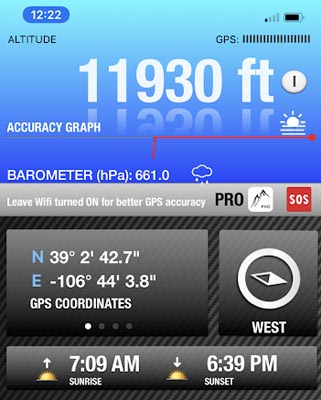
Difficult Pass - Pitkin County - Colorado - 12,020 feet
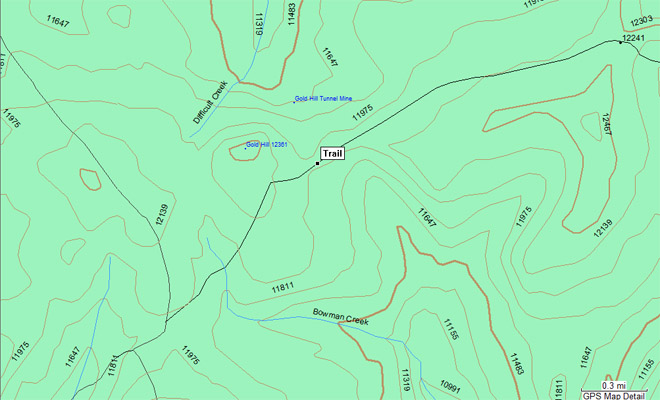
Difficult Creek to north. Bowman Creek to south.
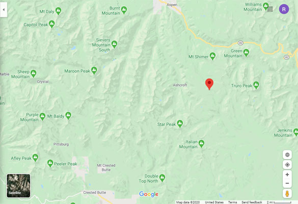
Between Aspen and Crested Butte. Northeast of Taylor Pass.
dirt,rock - dirt bike
photos by John Meyer, 10/14/2020
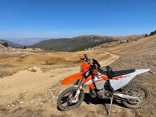
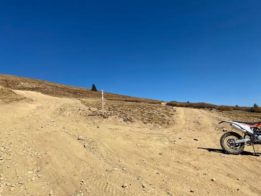
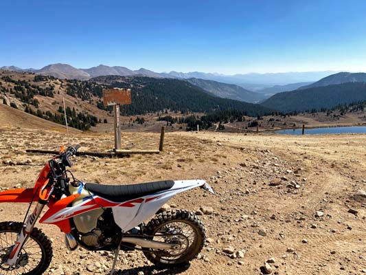
On the way to the summit. |
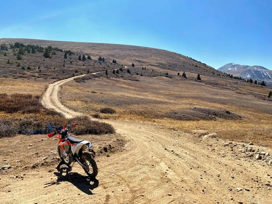
At the summit. |
At the summit. |

At the summit. |
At the summit. |
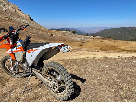
At the summit. |
At the summit. |
At the summit. |
Google Maps |
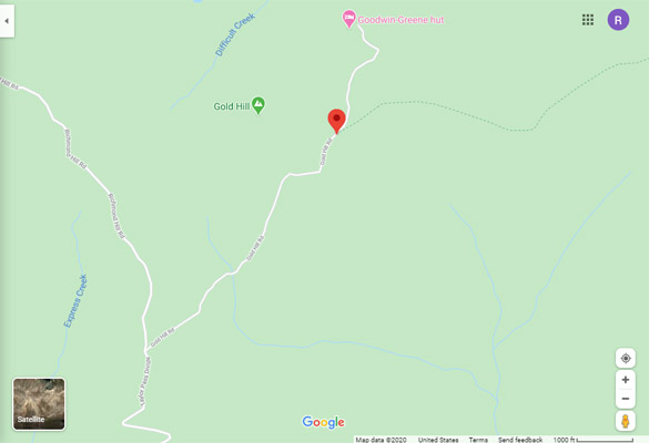
Google Maps |
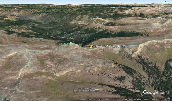
Google Earth |

Google Earth |
Garmin MapSource |
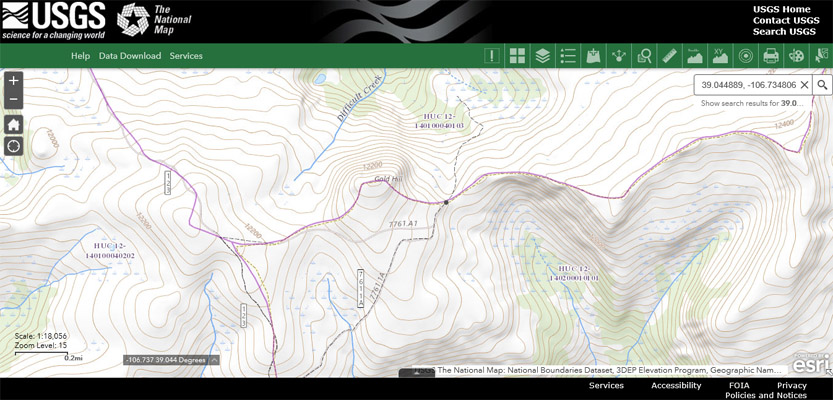
USGS TNM |
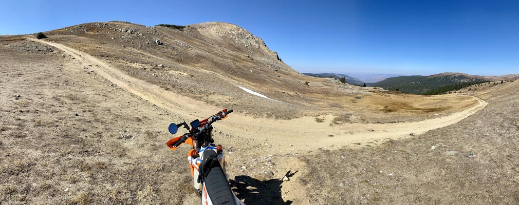
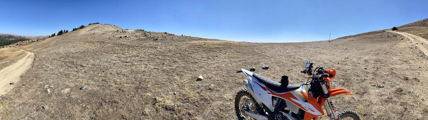
photos on the route from Difficult Pass to Taylor Pass, by John Meyer, 10/14/2020
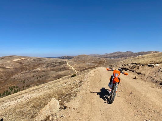
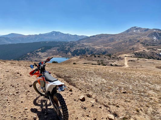
Between Difficult and Taylor Passes. |
Between Difficult and Taylor Passes. |
Between Difficult and Taylor Passes. |
Between Difficult and Taylor Passes. |
Between Difficult and Taylor Passes. |
Between Difficult and Taylor Passes. |
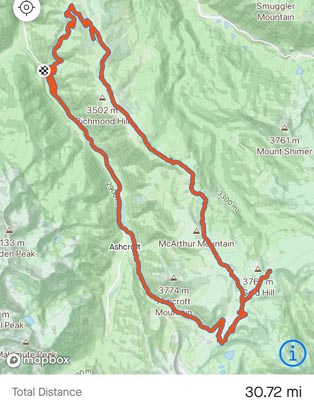
Mapbox |
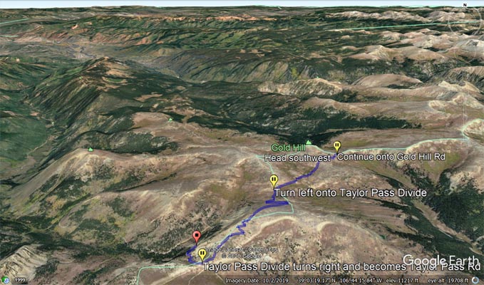
Google Earth |
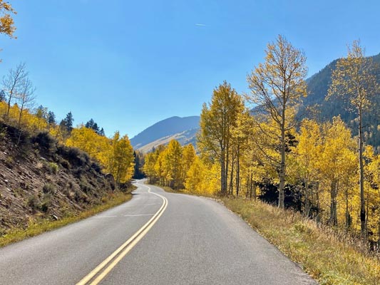
Notes from John: Here are the photos of Difficult Pass and an intersection along the way with Taylor Pass included.
It was a beautiful day with the Aspens at their peak.
I parked in a pull-off along Castle Creek Rd (there were several to choose from), unloaded the bike and rode the
loop clockwise. It was easy along Anne's Mine Road until it was time to find Upper Hurricane, which didn't seem to
exist. (Shame on the Aspen/Pitkin County or the Forest Service for not having any of the roads numbered, named or
marked). It was not easy staying on route and I had to double back a few times to make sure I was on the correct
path. Once I found Richmond Hill Road I found it to be a long rough road with a few challenges along the way. (I
would rate it a 3).
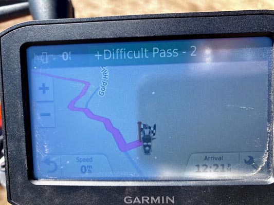
Once you crest Richmond Hill the views are terrific and it is easy to spot the left turn needed to go up Gold Hill
and on to Difficult Pass.
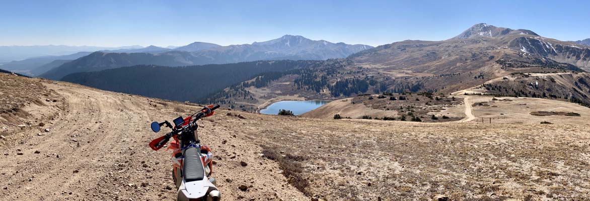
After the pass I returned back over Gold Hill where the views to the west were spectacular, especially when I crested
the last hill which gives you a great view of Taylor Pass and a reservoir to the south.
Once at Taylor Pass and more photos I returned down to the north and back to Castle Creek Road and the point of beginning.
It was fun to have the trails to myself that day. I think I only encountered a hunter on a four-wheeler all day.
| Feature Name | ID | Class | County | State | Latitude | Longitude | Ele(ft) | Map | BGN Date | Entry Date |
| Difficult Creek | 180075 | Stream | Pitkin | CO | 390845N | 1064649W | 8084 | Aspen | - | 13-OCT-1978 |
| Bowman Creek | 180330 | Stream | Gunnison | CO | 385938N | 1064218W | 10069 | Italian Creek | - | 13-OCT-1978 |
| Richmond Hill | 202689 | Summit | Pitkin | CO | 390735N | 1064850W | 11542 | Aspen | 13-OCT-1978 | 24-JUN-2019 |
| Gold Hill | 180320 | Summit | Pitkin | CO | 390245N | 1064423W | 12359 | New York Peak | - | 13-OCT-1978 |