
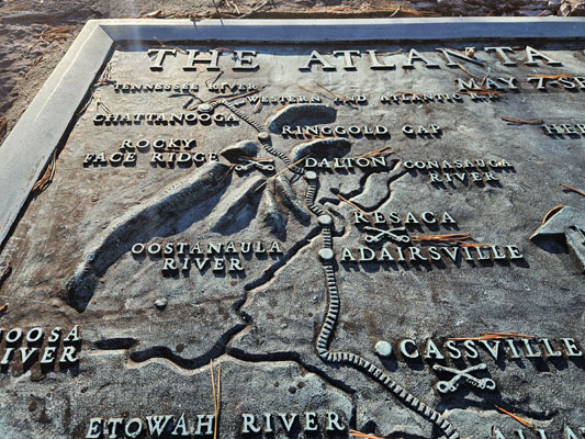
Ringgold Gap
|
Ringgold Gap |
Ringgold Gap - Catoosa County - Georgia - 804 feet
South Chickamauga Creek flows through Ringgold Gap.
On US-41 south of Ringgold GA.
paved - road bike
photos by Randy Bishop, 12/5/2023
In the gap |
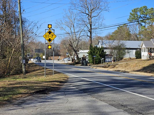
In the gap, looking northwest. |
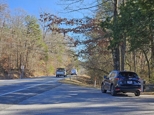
In the gap, looking southeast. |
In the gap |
In the gap |
In the gap |
In the gap |
In the gap |
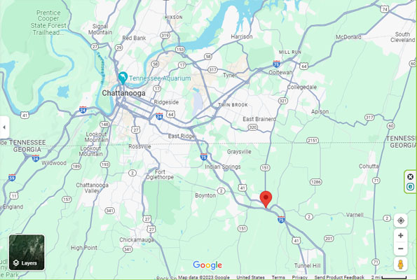
Google Maps |
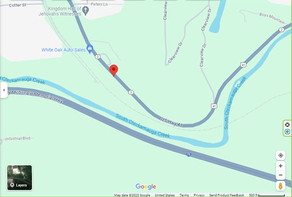
Google Maps |
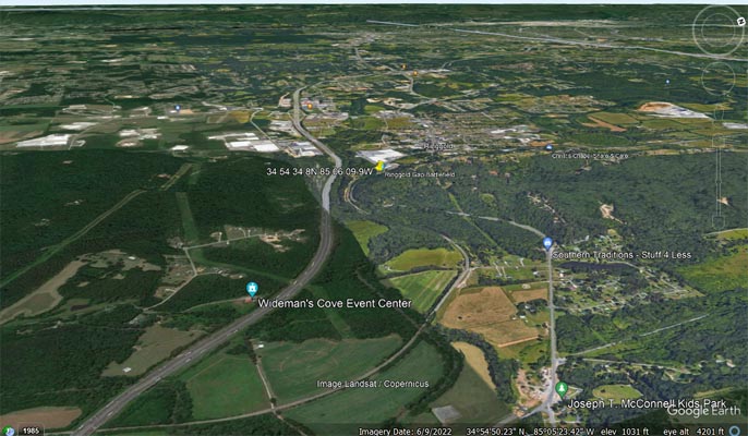
Google Earth, looking northwest. |
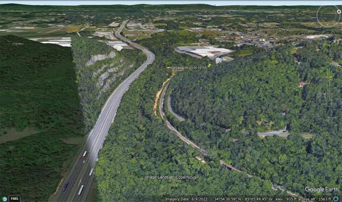
Google Earth, looking northwest. |
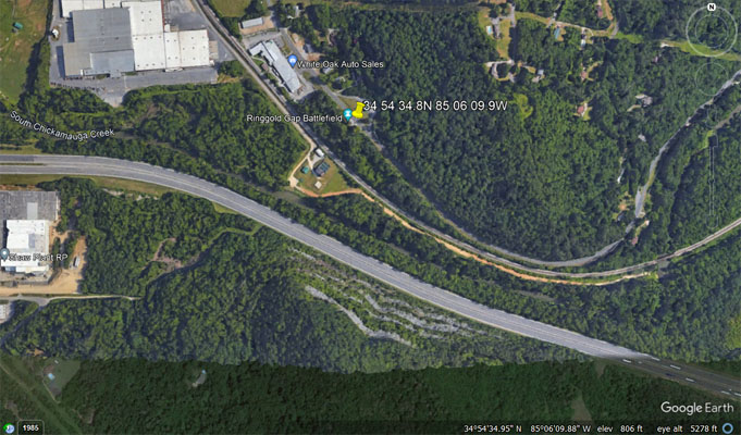
Google Earth |
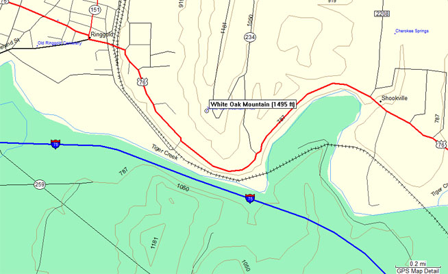
Garmin MapSource |
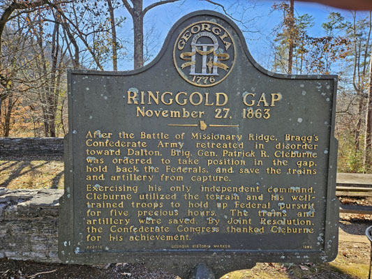
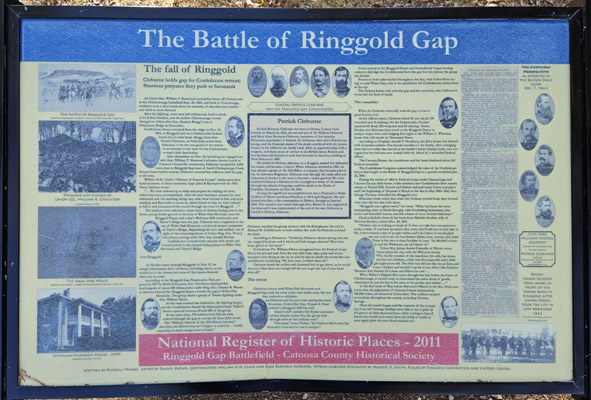
From the 1996 historical marker:
RINGGOLD GAP, November 27, 1863
After the Battle of Missionary Ridge, Bragg's Confederate Army retreated in disorder
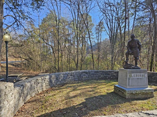
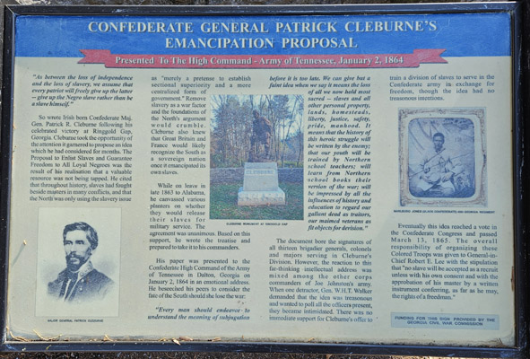
toward Dalton. Brig. Gen. Patrick R. Cleburne was ordered ot take position in the gap,
hold back the Federals, and save the trains and artillery from capture.
Exercising his only independent command, Cleburne utilized the terrain and his well-
trained troops to hold up Federal pursuit for five precious hours. The trains and
artillery were saved. By Joint resolution, the Confederate Congress thanked Cleburne
for his achievement.
| Feature Name | ID | Class | County | State | Latitude | Longitude | Ele(ft) | Map | BGN Date | Entry Date |
| Ringgold | 329441 | Populated Place | Catoosa | GA | 345457N | 085633W | 768 | Ringgold | 25-SEP-1979 | 20-MAR-2008 |